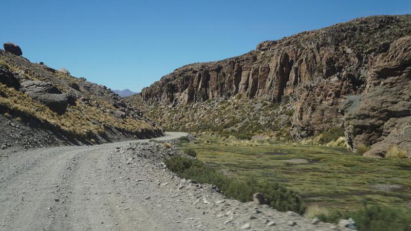
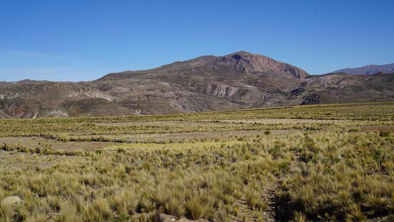
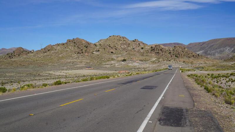
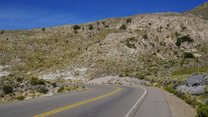
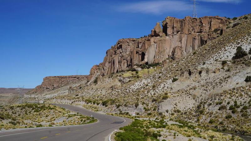
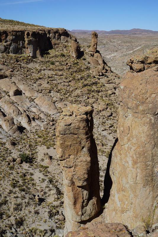
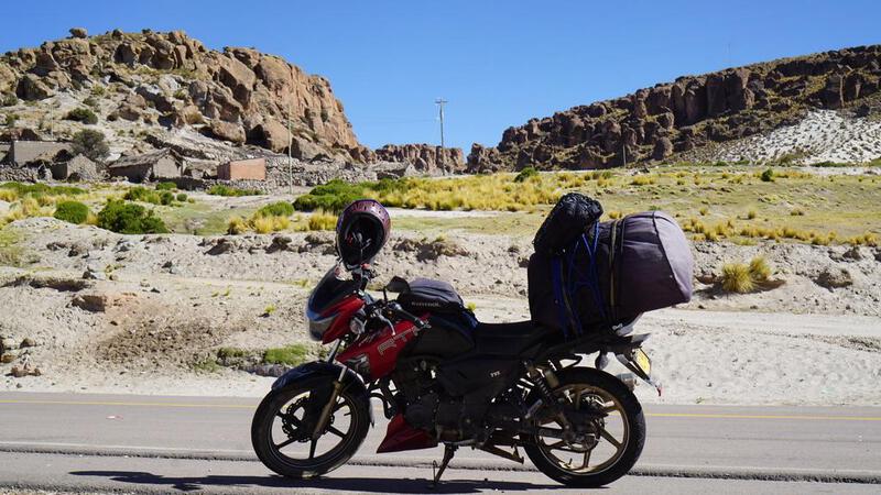
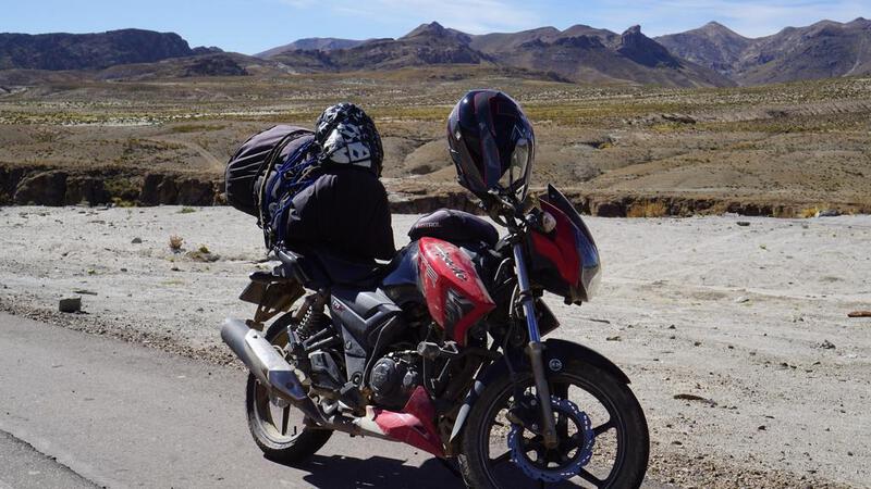
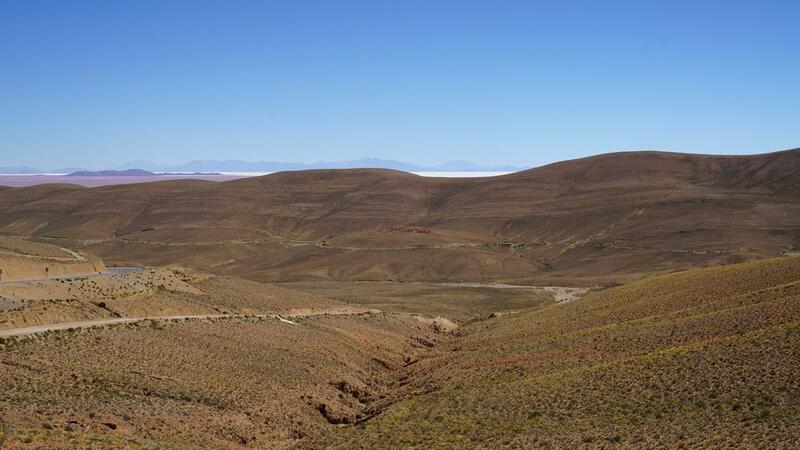
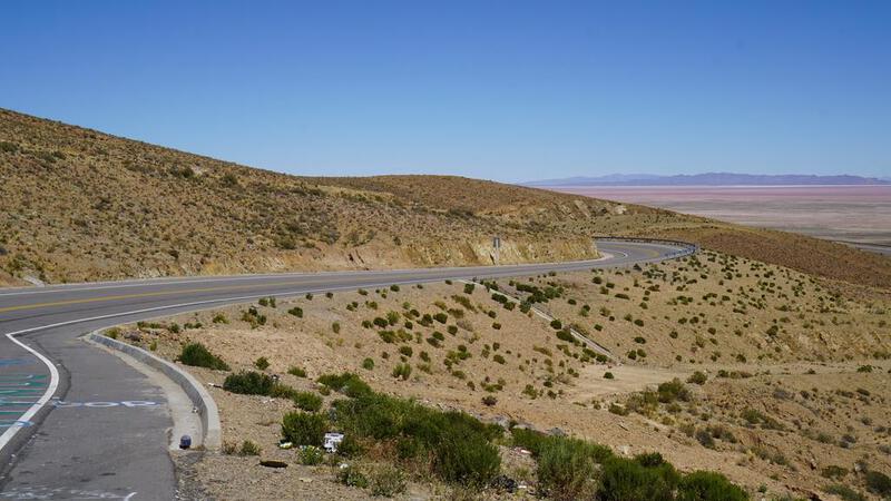
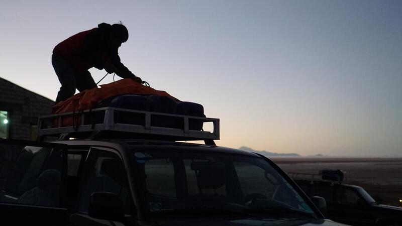
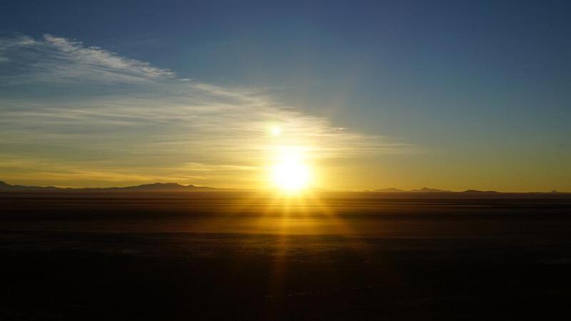
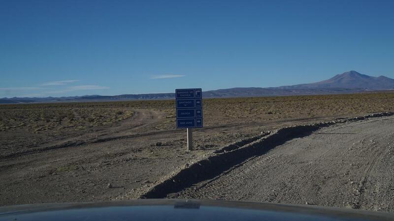
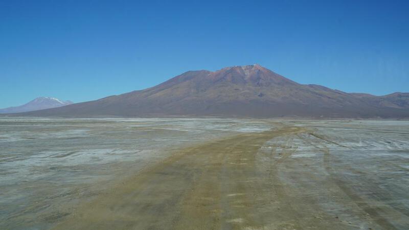
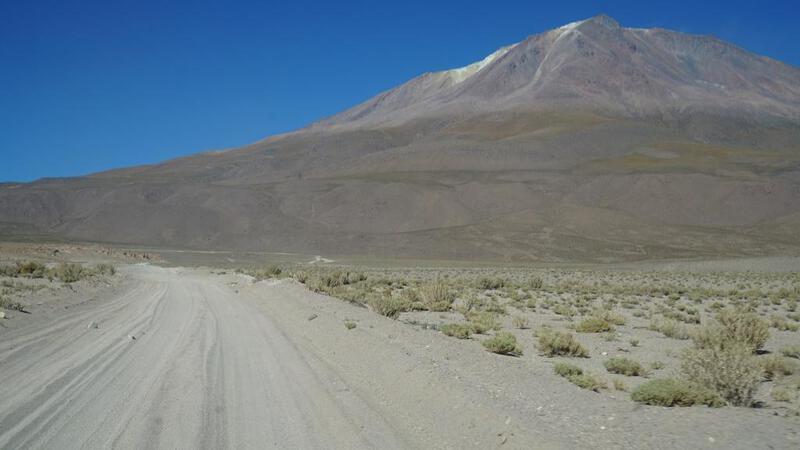
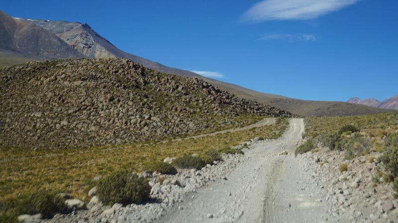
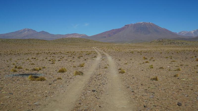
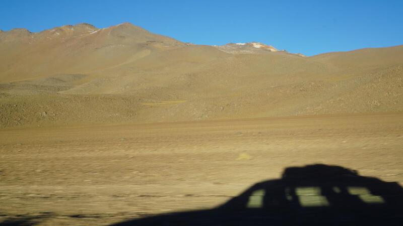
उयुनी की ओर प्रस्थान।
मैं उयुनी जा रहा हूँ।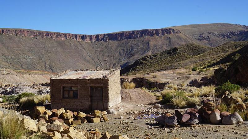


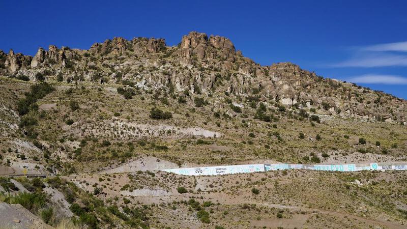
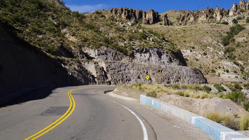


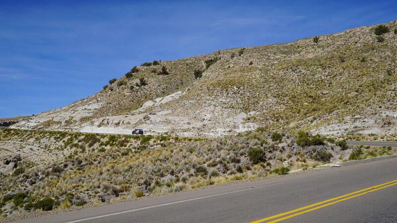


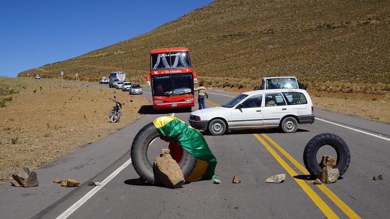
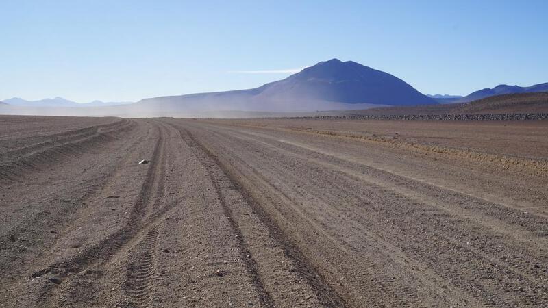
 कुछ लोग सड़क को अवरुद्ध कर रहे हैं...।
लेकिन, उन्होंने मोटरसाइकिल को गुज़रने दिया।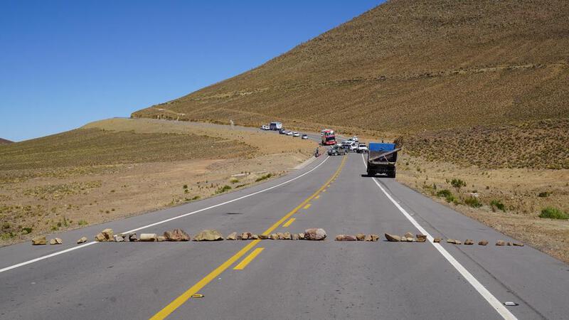


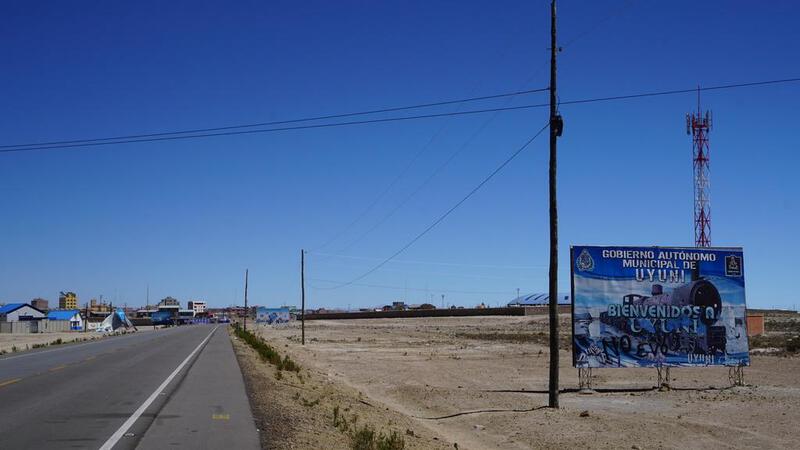
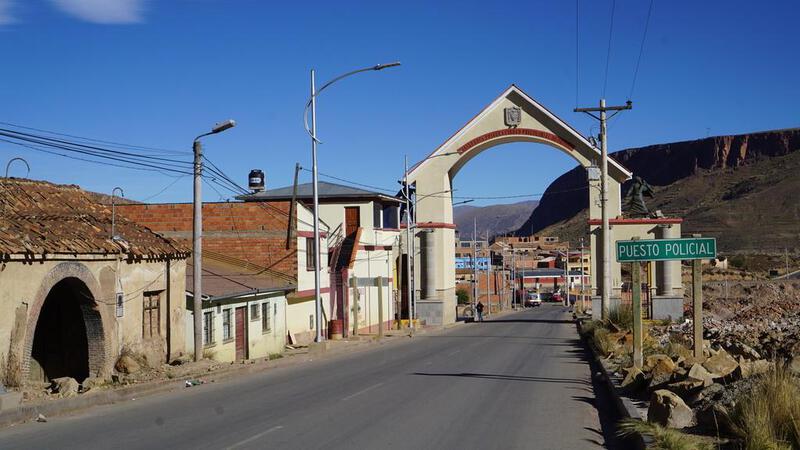
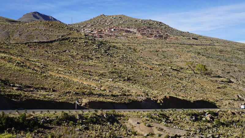
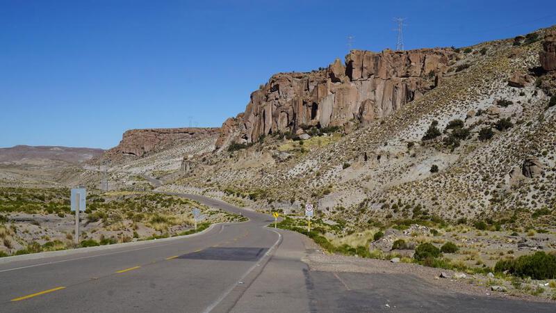
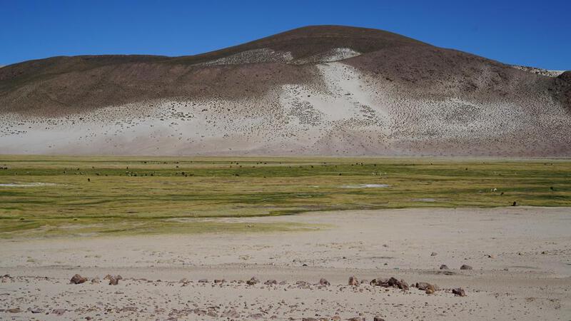
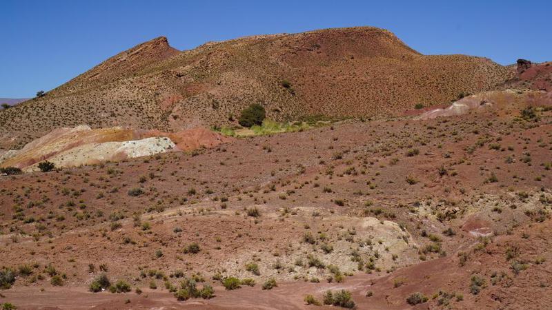
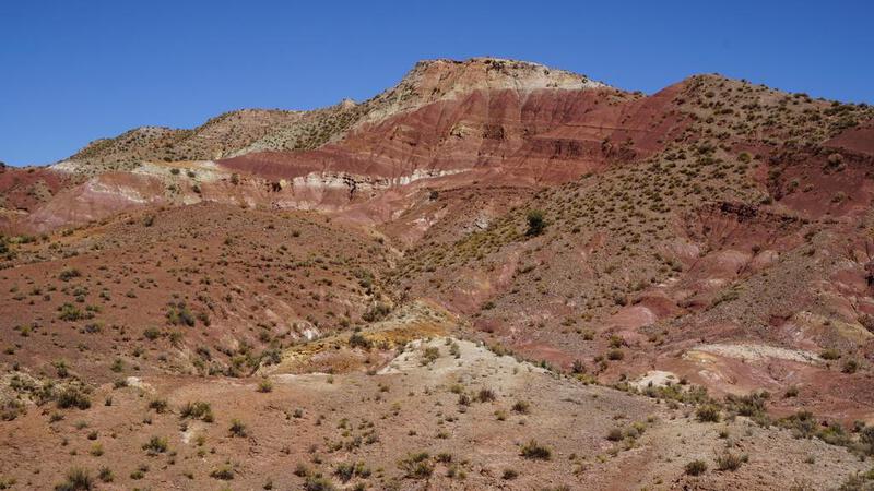
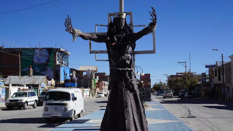
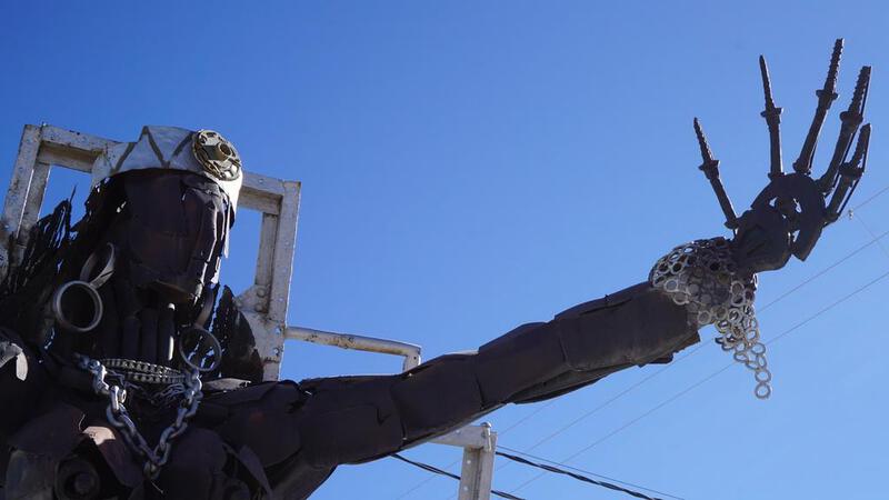
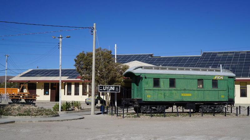
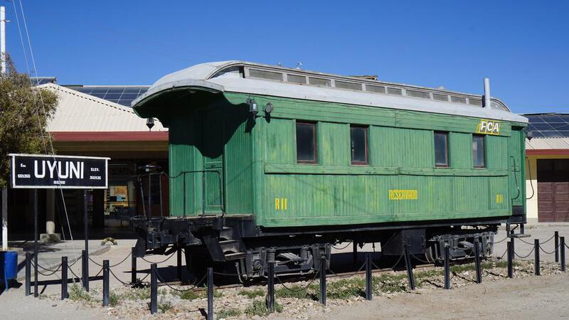
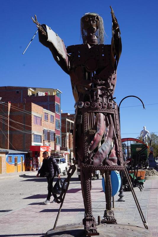
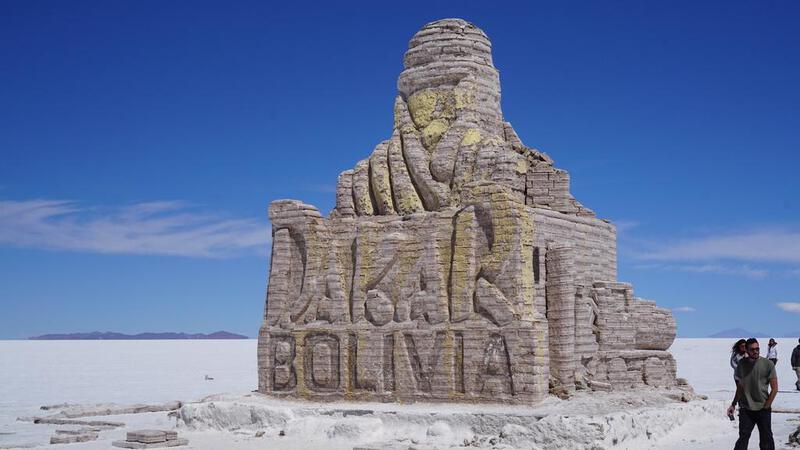
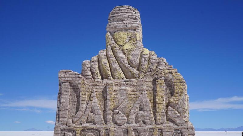
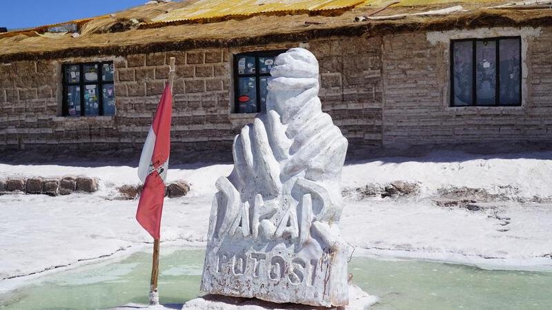
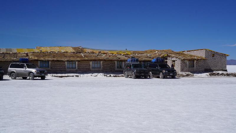
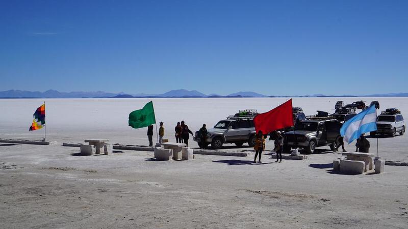
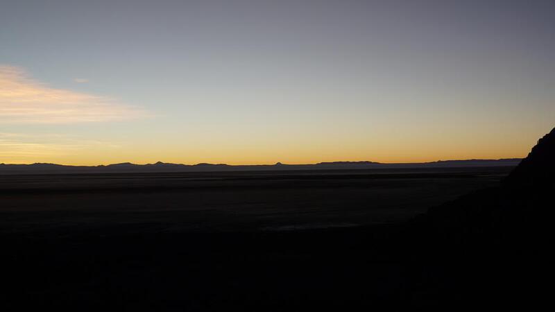
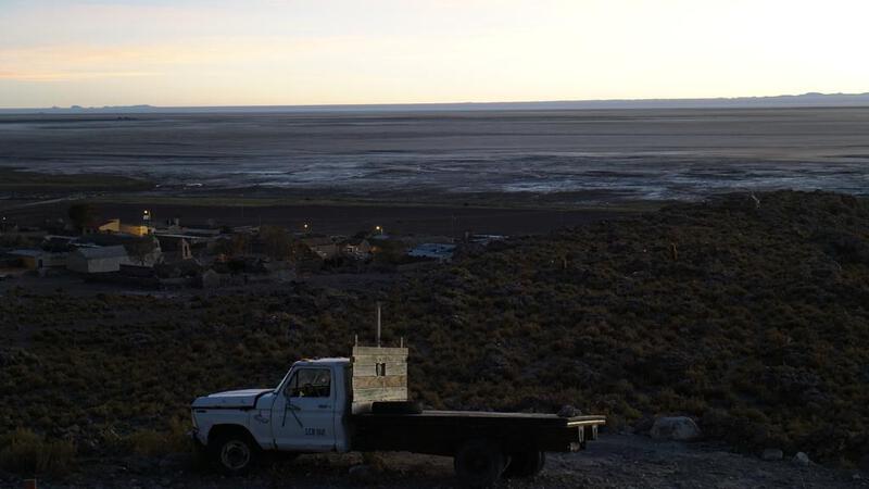
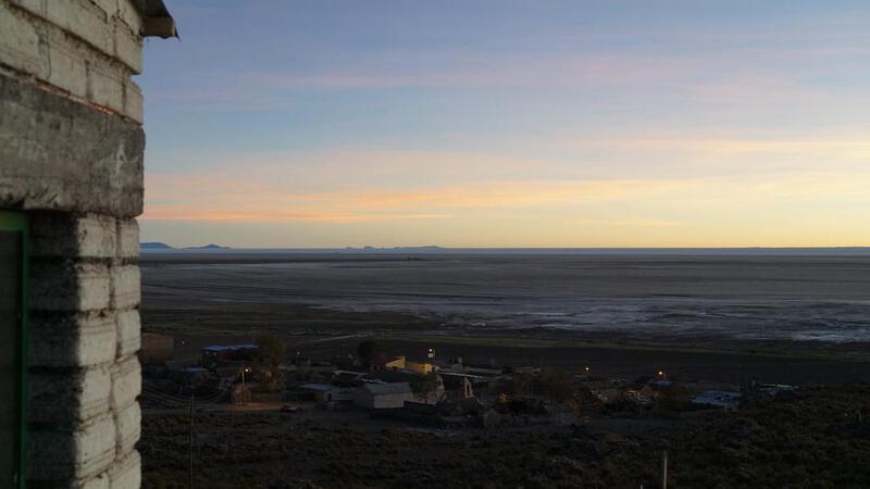
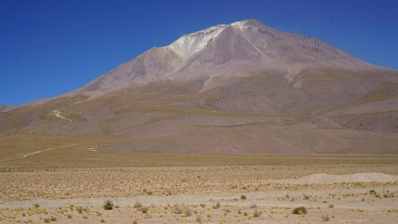
उयुनी शहर का मध्य भाग।
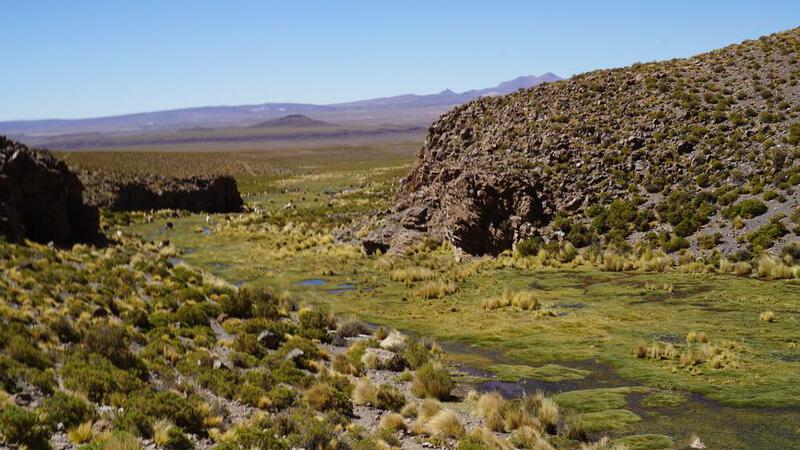
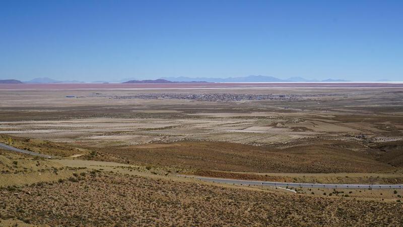
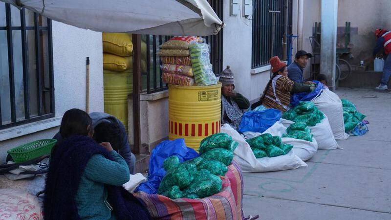
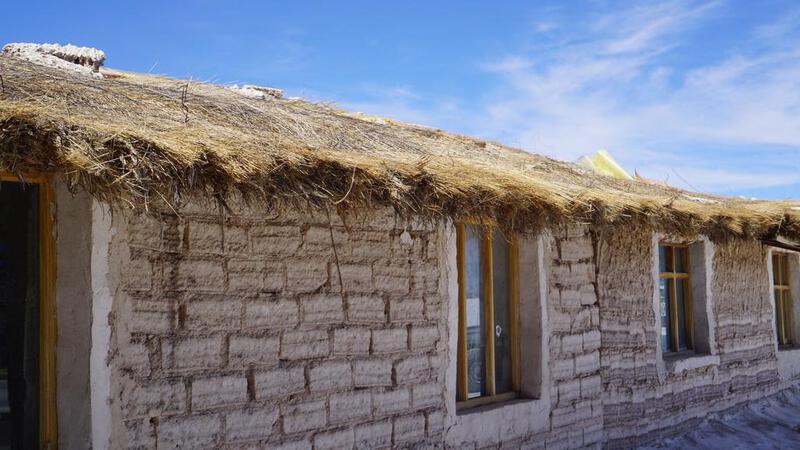
उयुनी के गांव में आगमन हुआ।
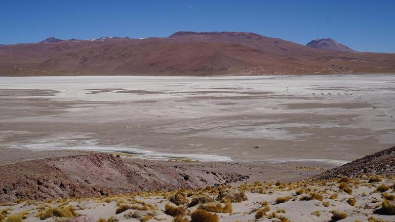
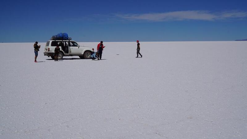
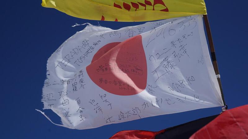
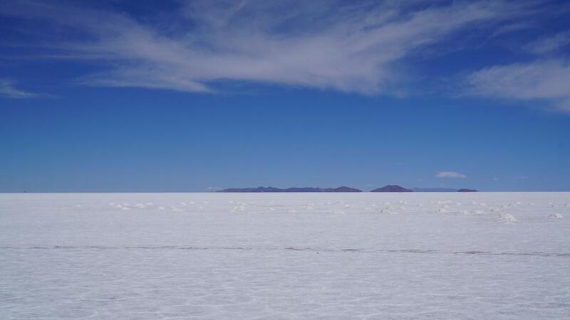
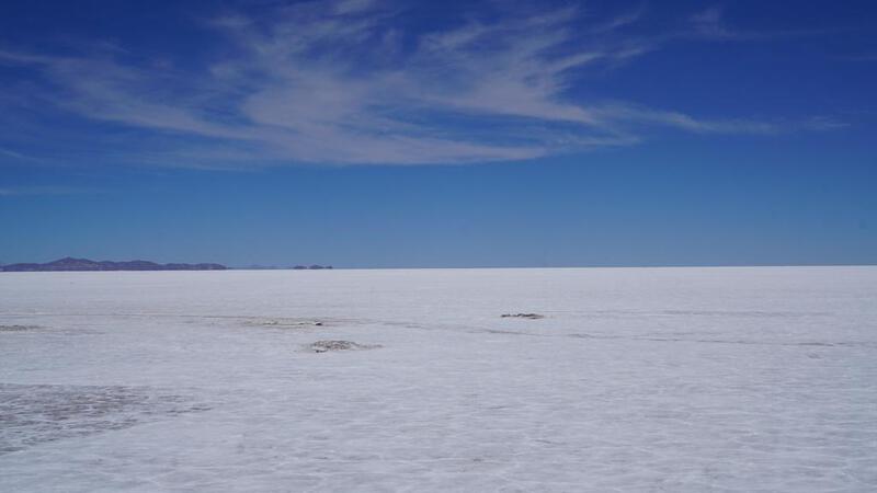
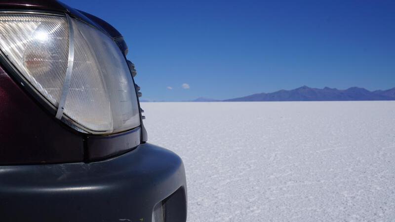
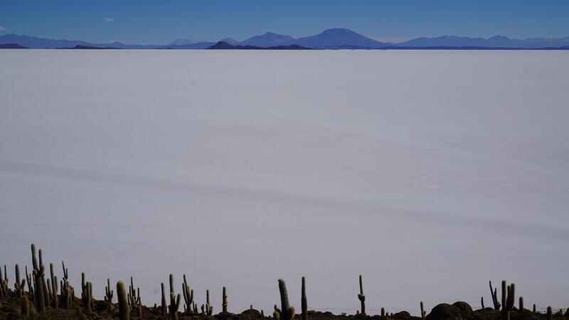
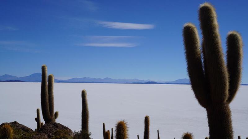
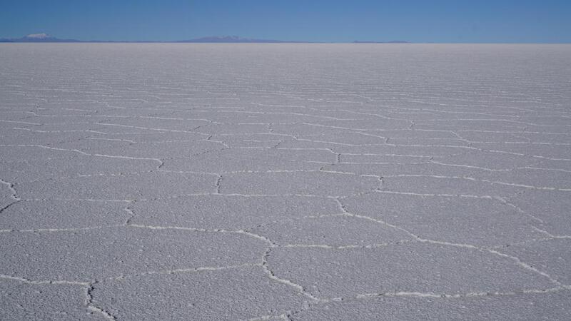
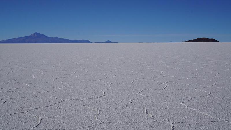
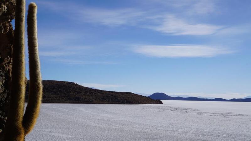
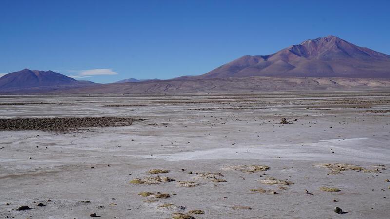
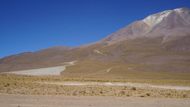
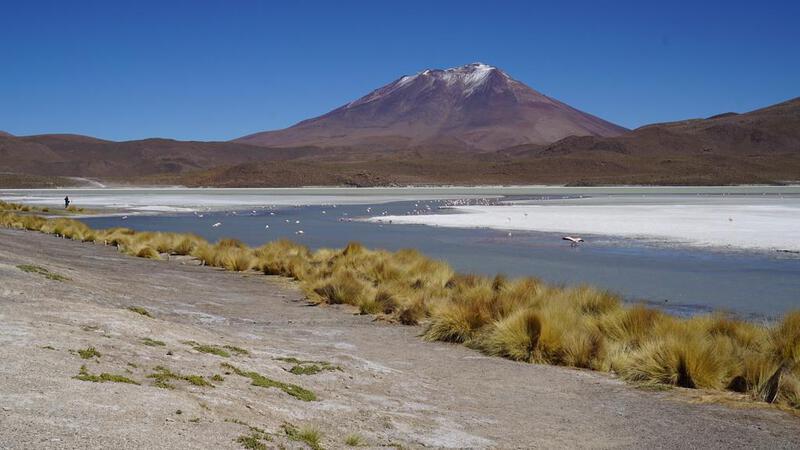
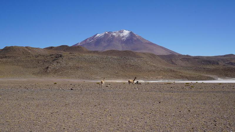
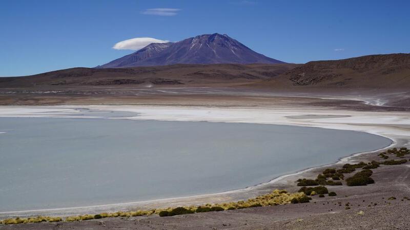
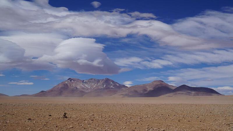
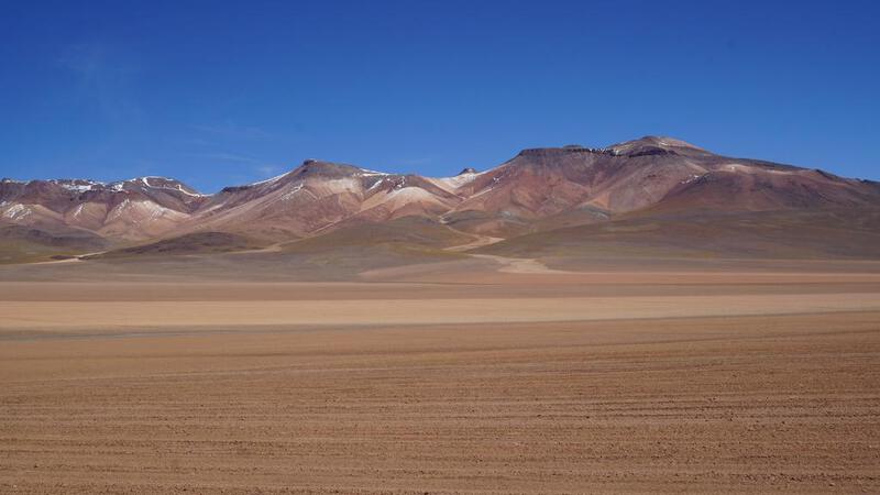
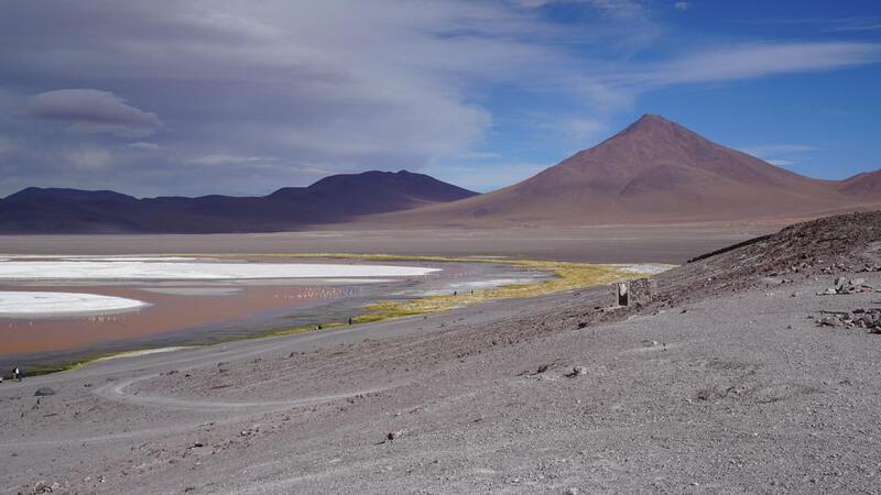
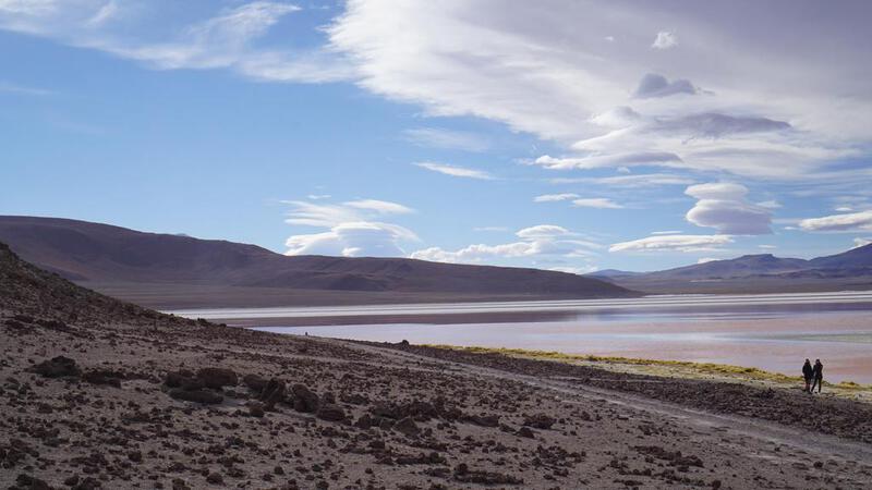
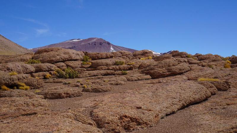
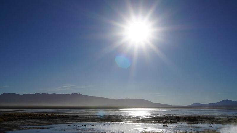
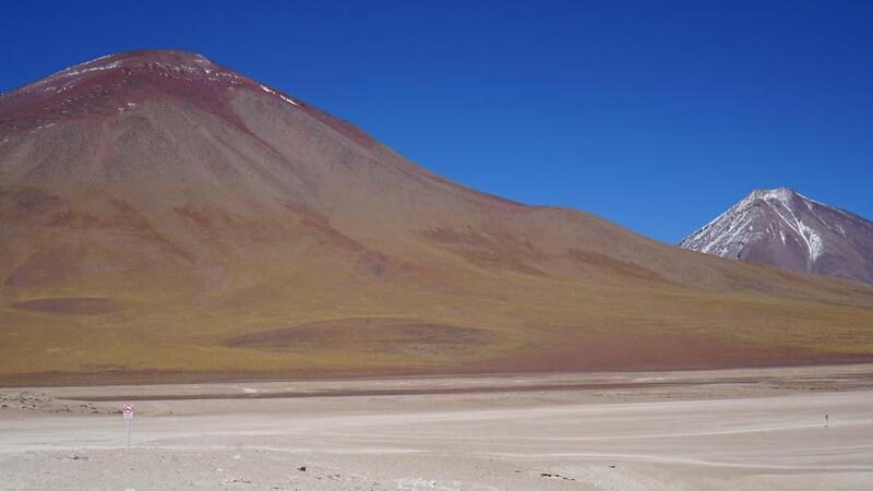
दूर से एकदम सफेद नमक झील को देखने से ही उत्साह बढ़ जाता है।
कल से 2 रात और 3 दिनों की यात्रा शुरू होगी। इंटरनेट नहीं होगा, इसलिए कुछ दिनों तक संपर्क में नहीं रह पाऊंगा।
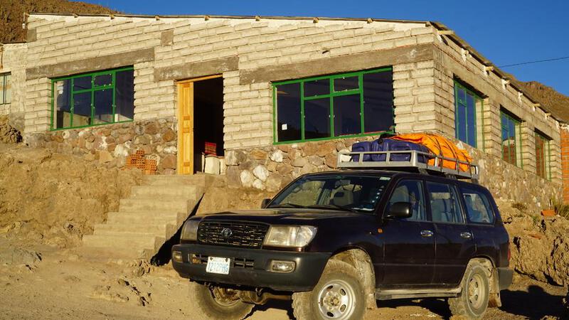
यह 750 बोलिवियानो (12,000 येन) में है, जो चिली के सैन पेड्रो अटाकामा में सुने गए मूल्य से लगभग आधा है। अंग्रेजी गाइड के लिए 1,200 बोलिवियानो (19,000 येन) लगेंगे, लेकिन देखने वाली चीजें प्राकृतिक हैं, इसलिए स्पेनिश पर्याप्त है। यह 1 दिन प्रति 4,000 येन का टूर है, जिसमें भोजन शामिल है और परिवहन के लिए 4WD का उपयोग होगा, साथ ही छात्रावास में आवास भी शामिल है, इसलिए यह सस्ता है। केवल पहले दिन ही शॉवर उपलब्ध है, दूसरे दिन नहीं, लेकिन मैं जल्द ही शहर वापस आ जाऊंगा, इसलिए यह स्वीकार्य है।
बाइक से जाने का विकल्प भी है, लेकिन मैंने पहले ही चिली के सैन पेड्रो अटाकामा से होकर गुजर चुका हूं, इसलिए वहां दोबारा जाना या वापस आना भी मुश्किल है। इसके अलावा, यह एक सड़क बाइक है, और यह रास्ता उबड़-खाबड़ है और इसमें मज़ा नहीं आएगा, इसलिए मैंने सस्ता टूर चुना। मेरा बाइक से यहां जाने पर कोई विशेष जोर नहीं है।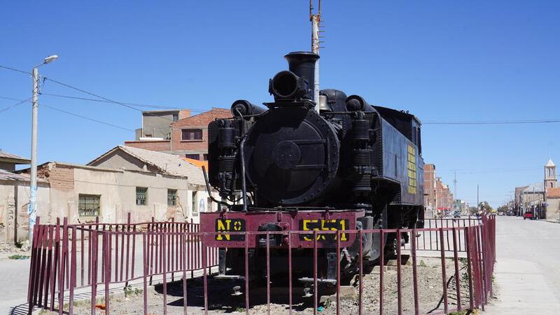

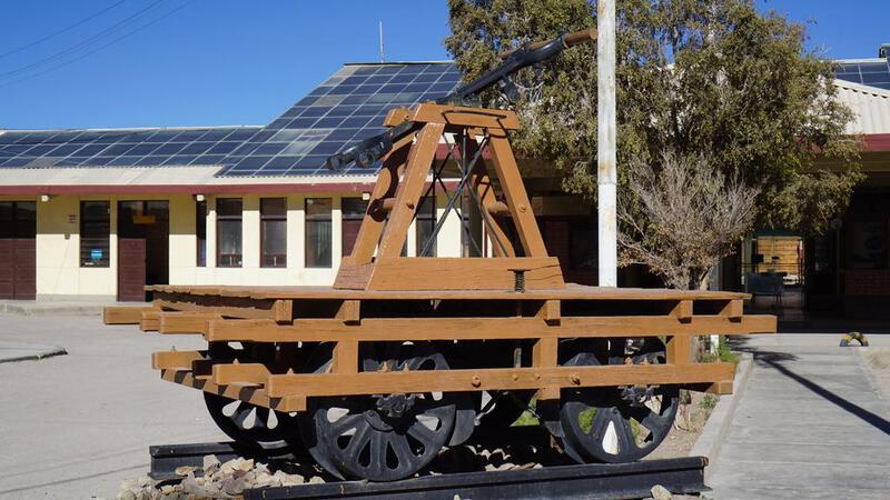
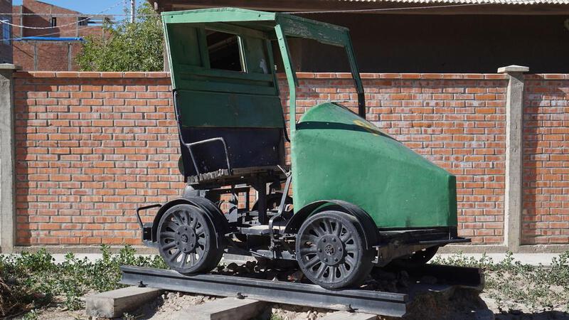
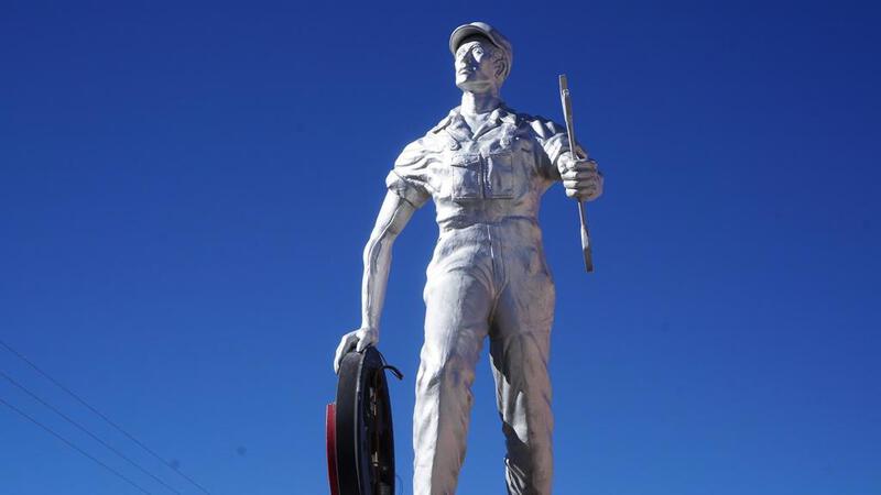
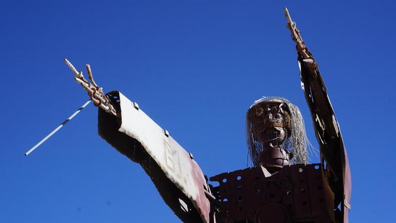
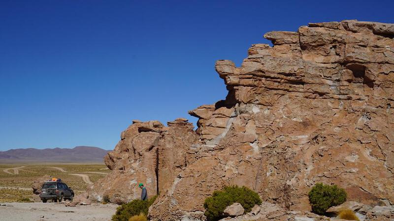
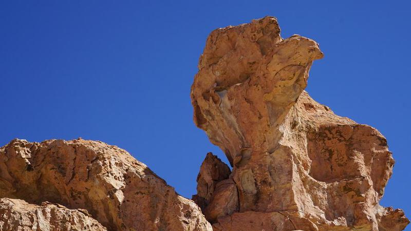
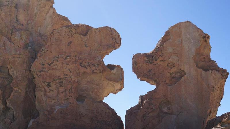
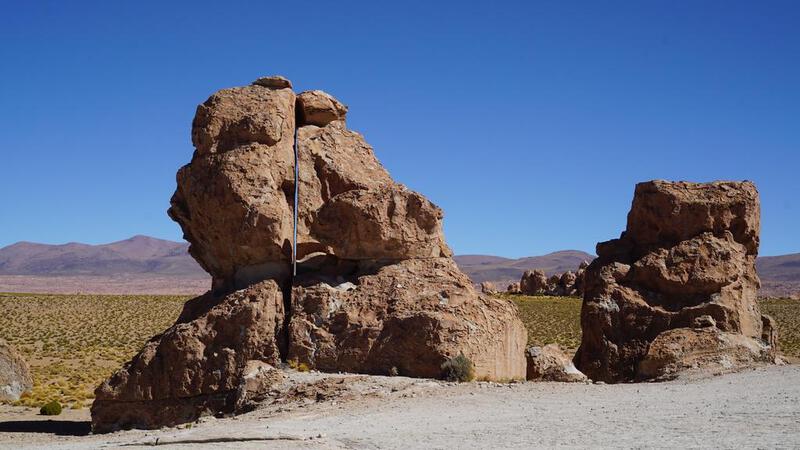
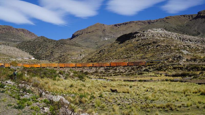
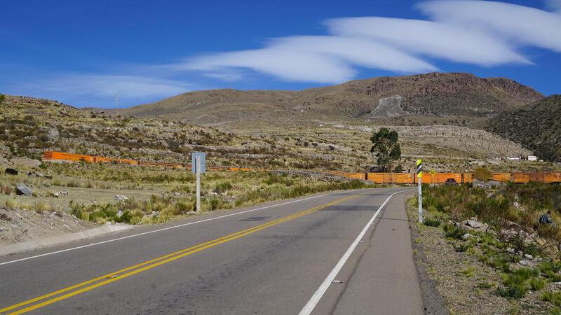
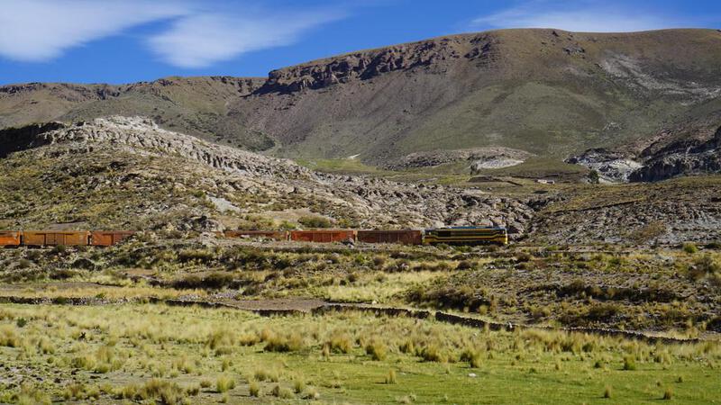
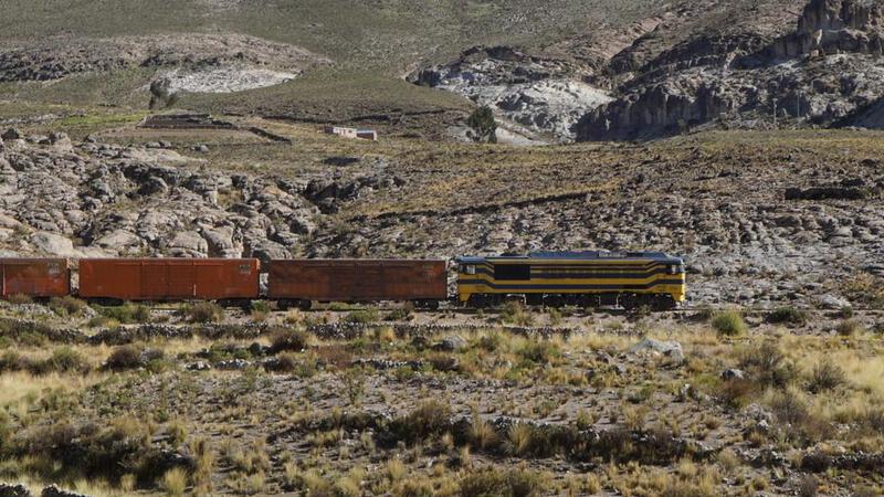
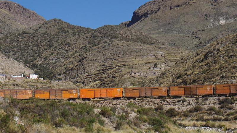
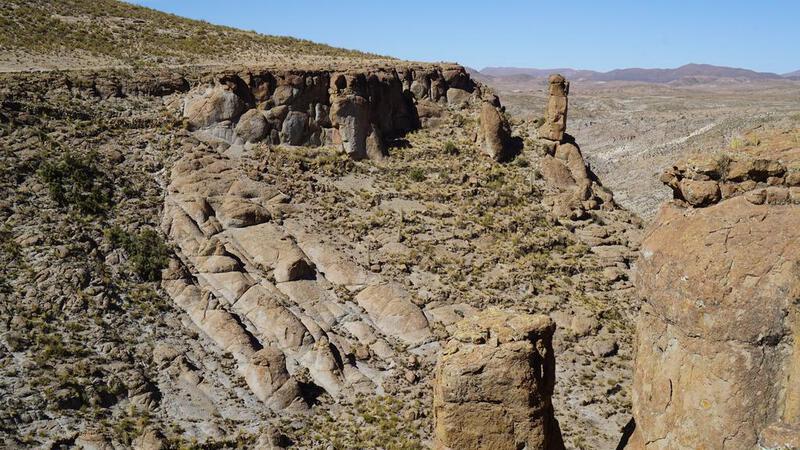
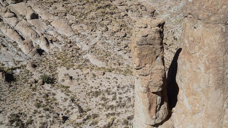
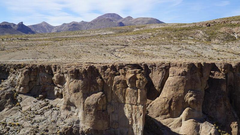
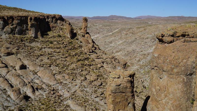
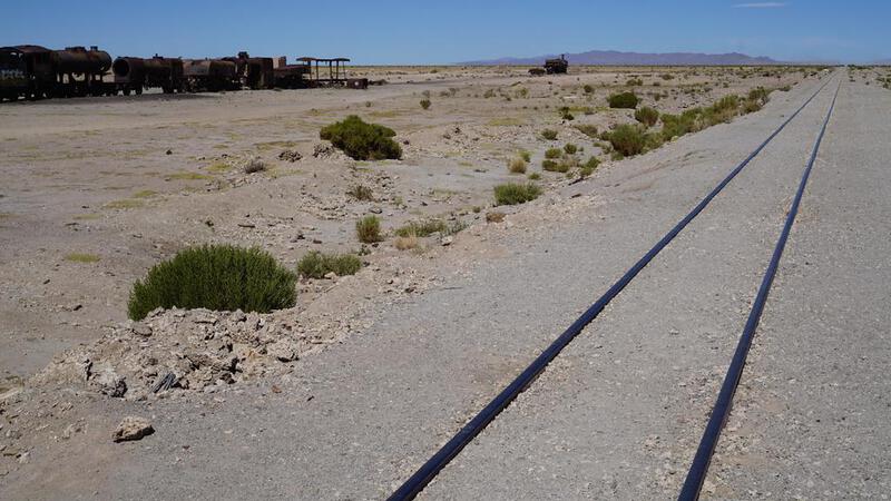
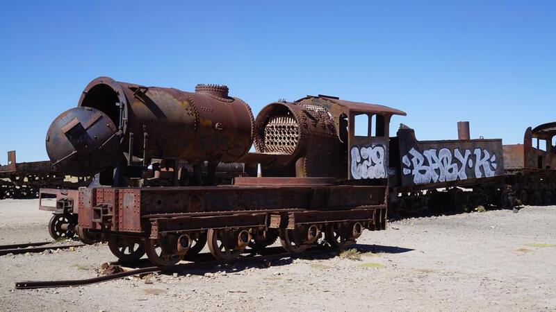
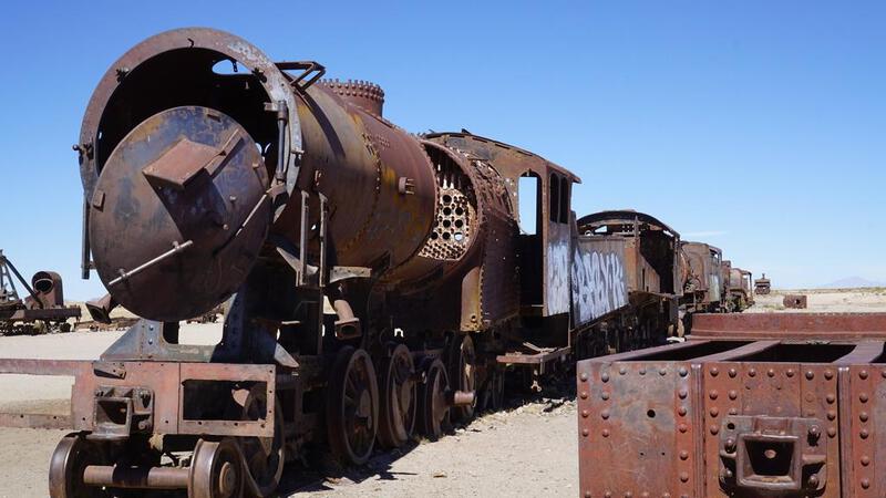
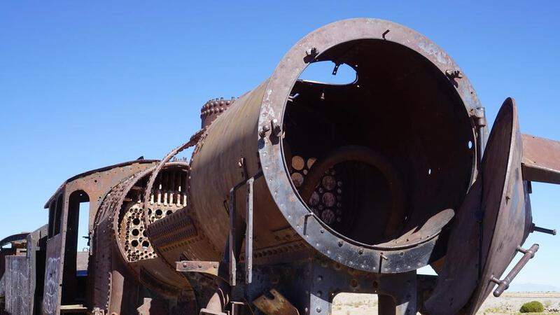
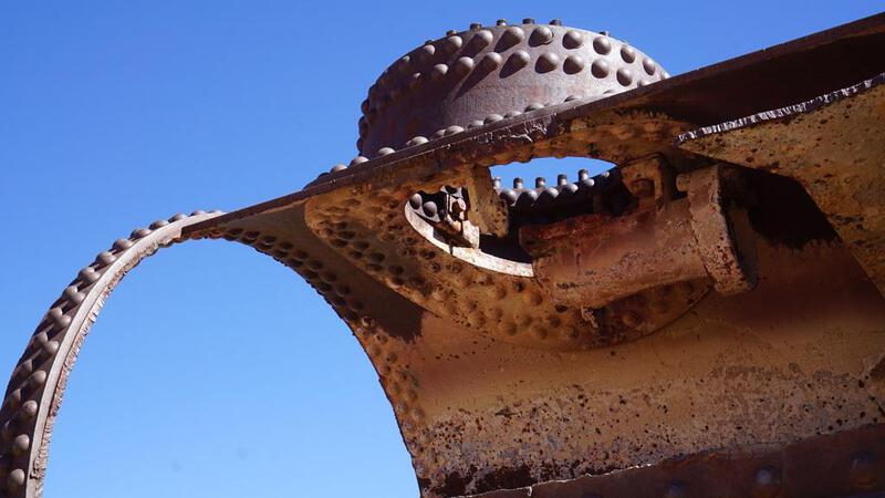
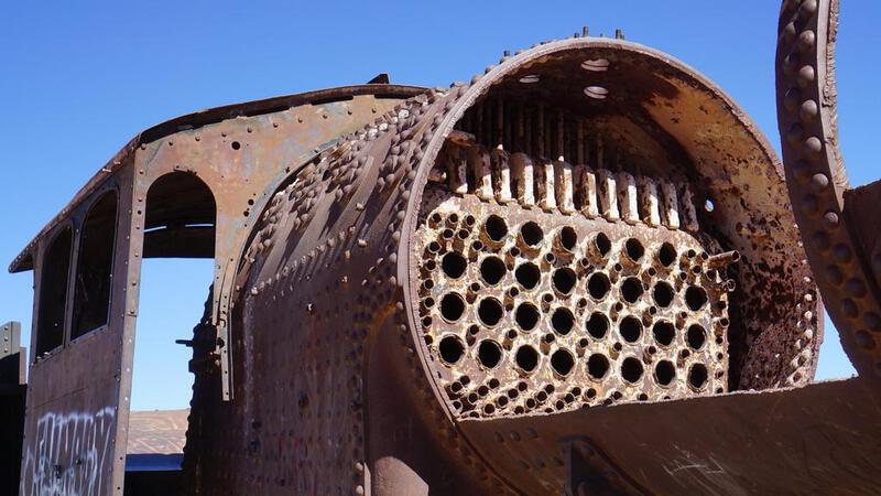
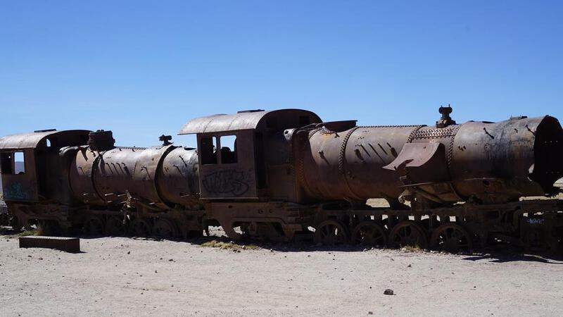
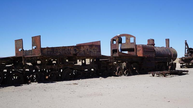
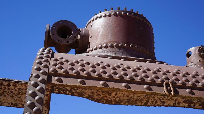
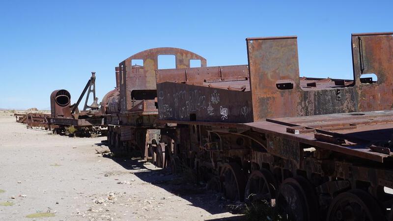
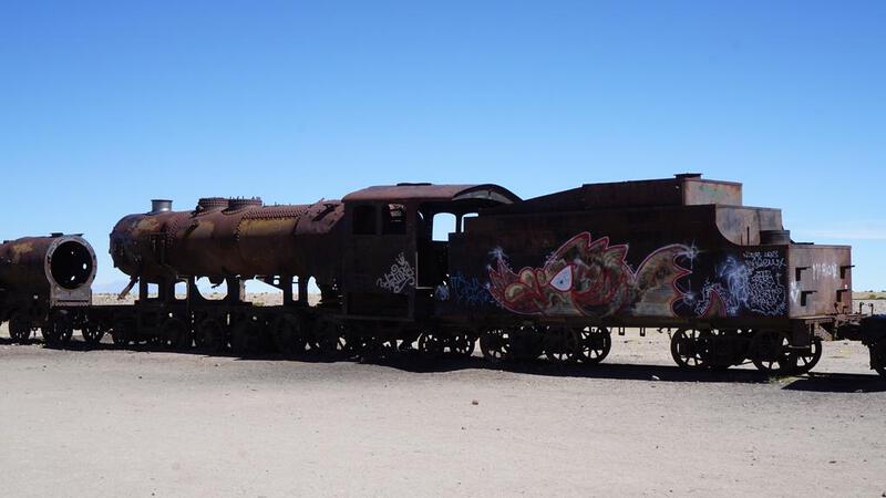
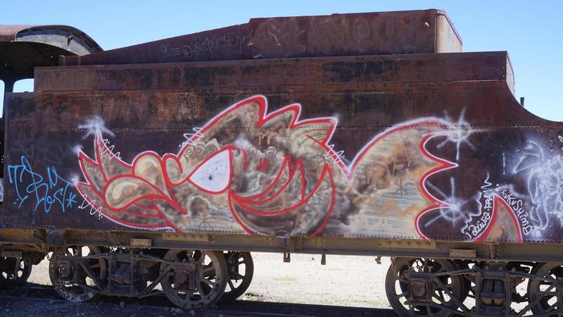
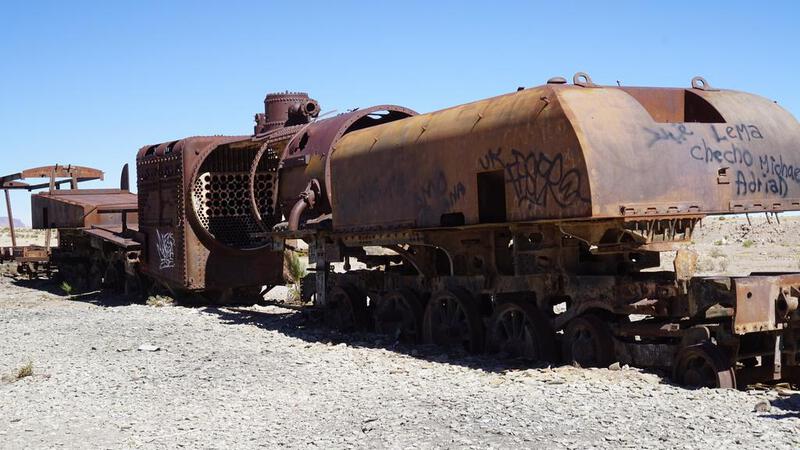
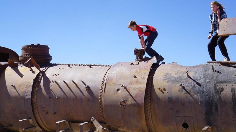
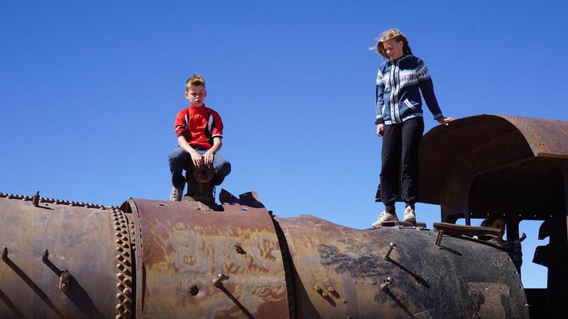
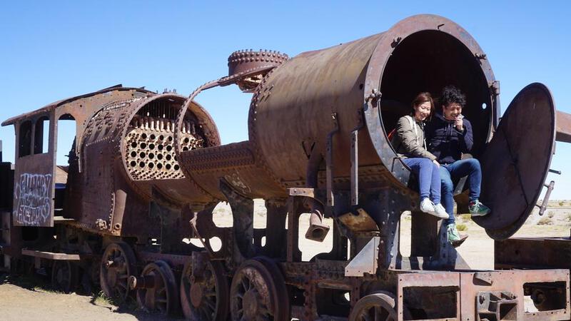
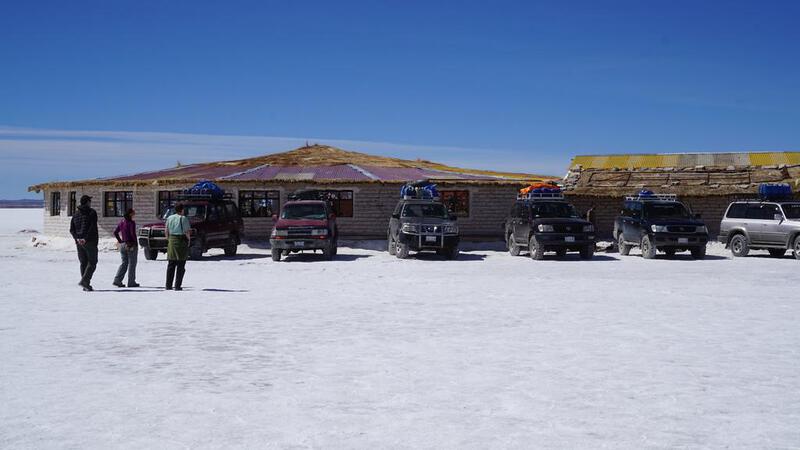
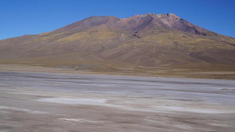
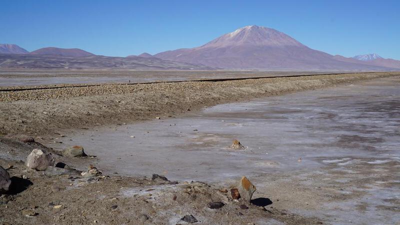
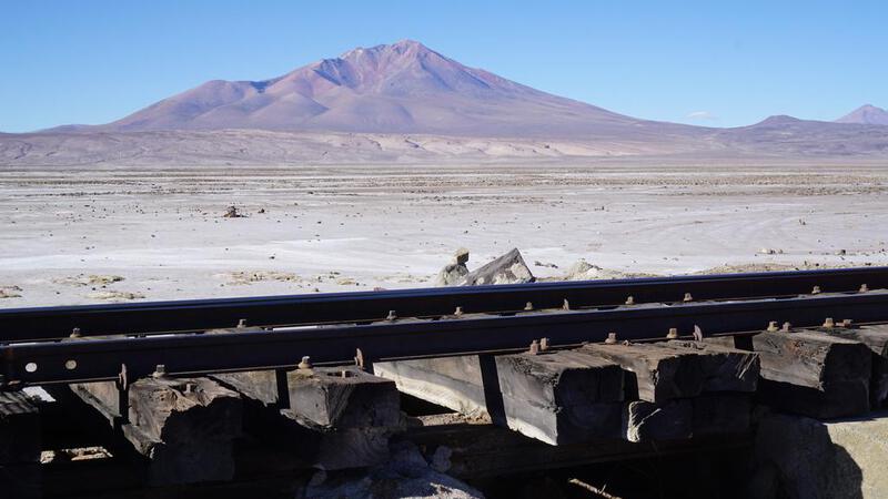
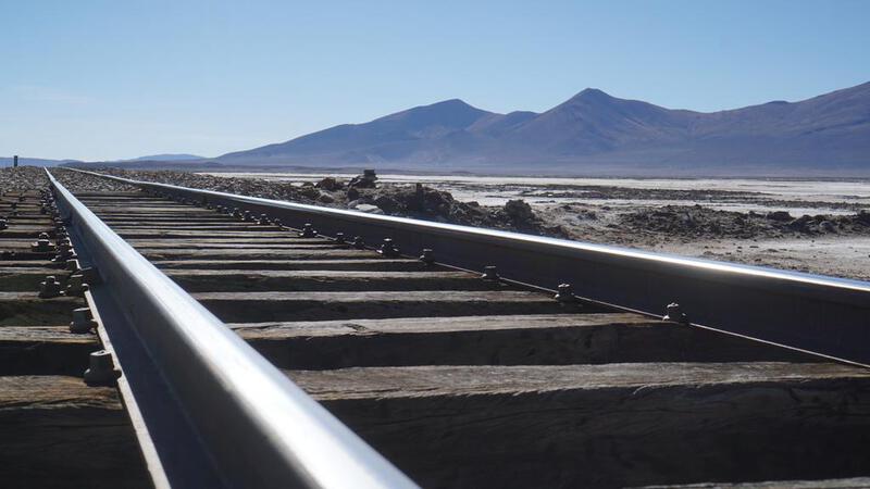
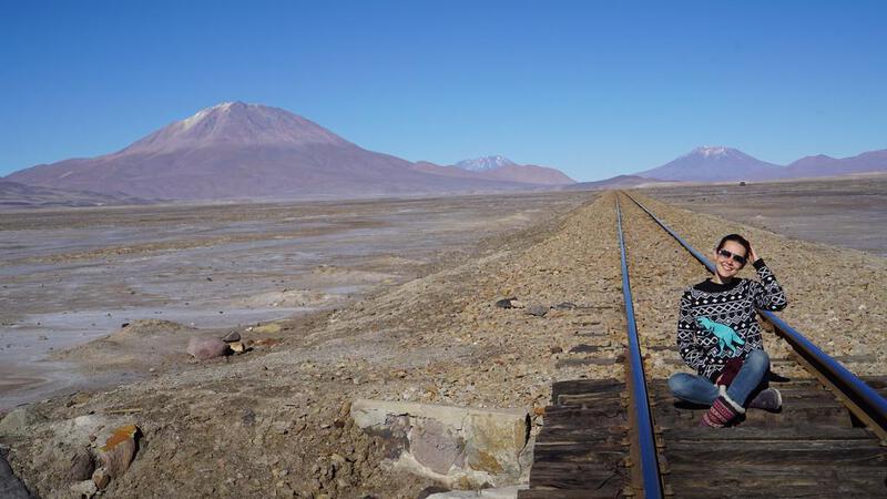
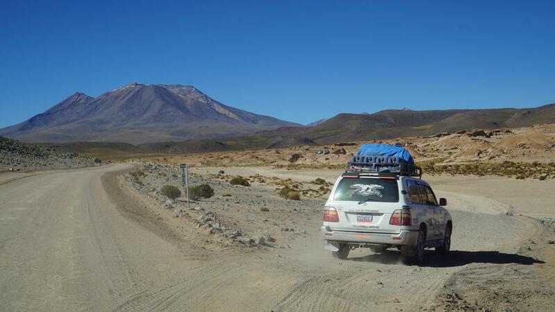
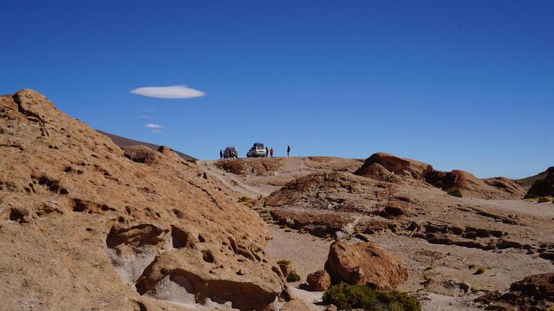
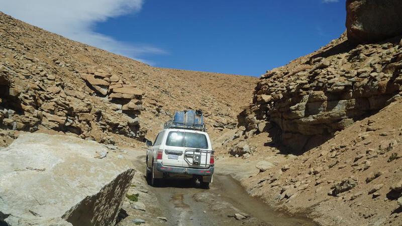
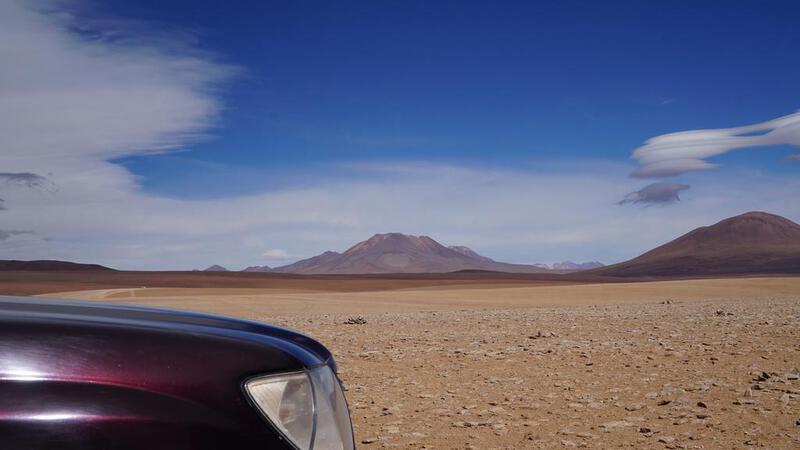
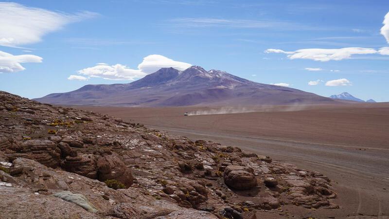
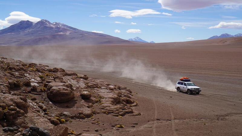
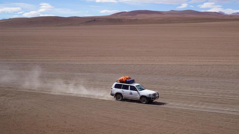
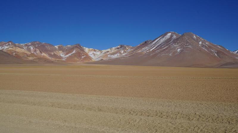
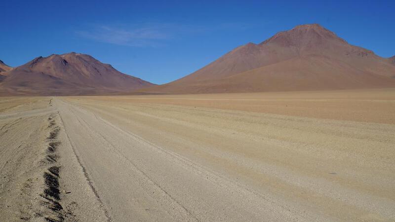
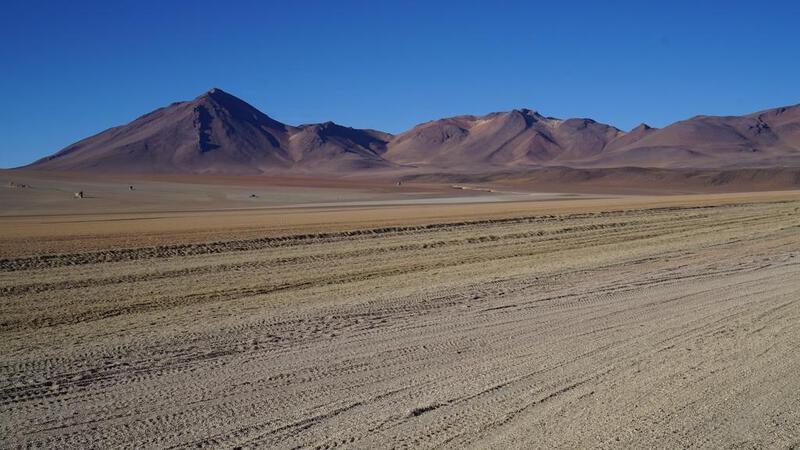
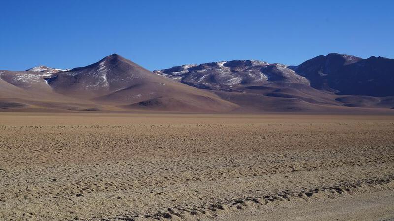
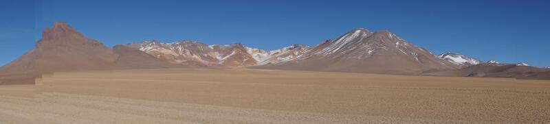
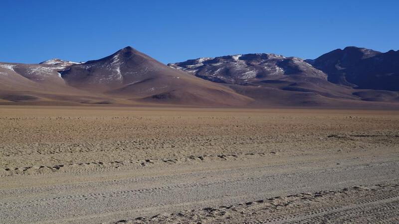
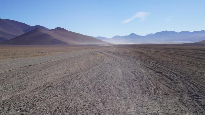
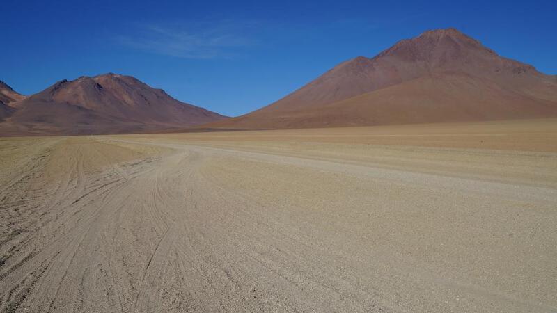
उयुनी नमक झील टूर, पहला दिन: ट्रेनों का कब्रिस्तान।
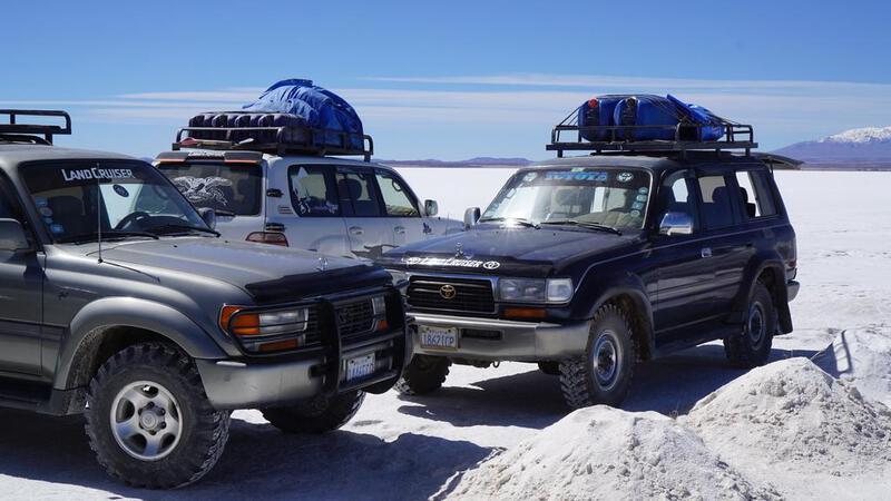
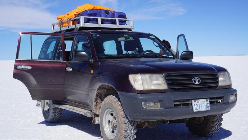
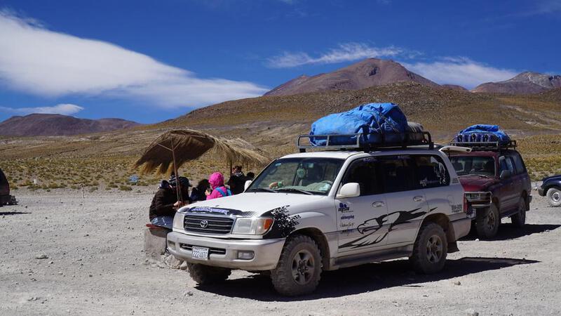
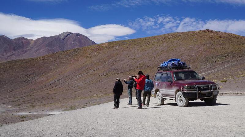
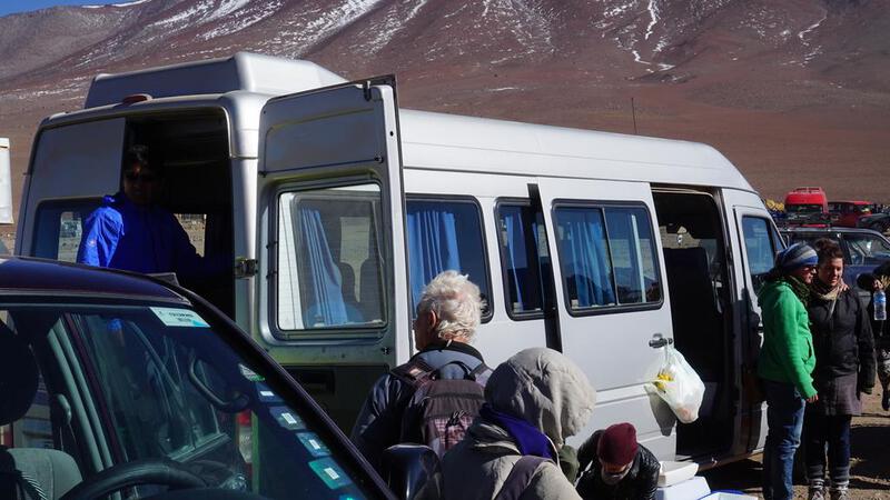
उयुनी नमक झील के लिए 2 रात 3 दिन के टूर में भाग लिया।
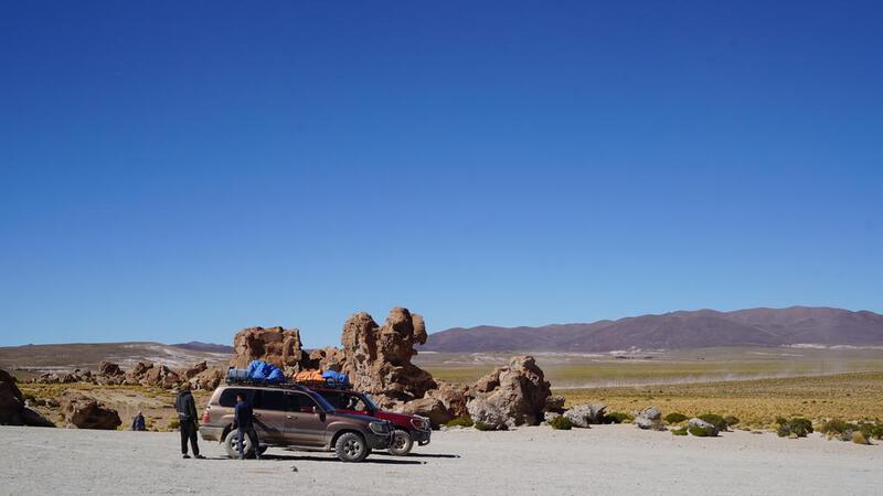
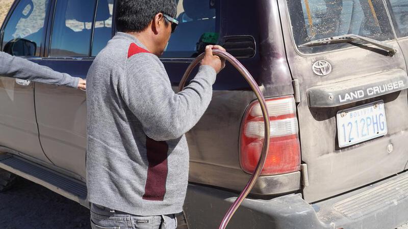
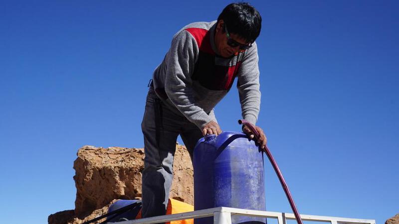
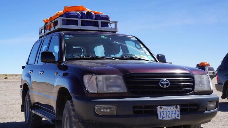
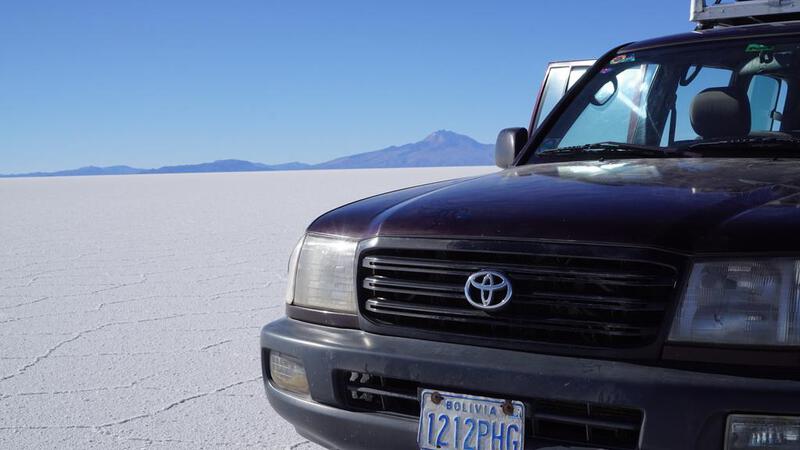
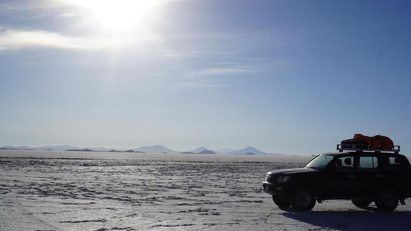
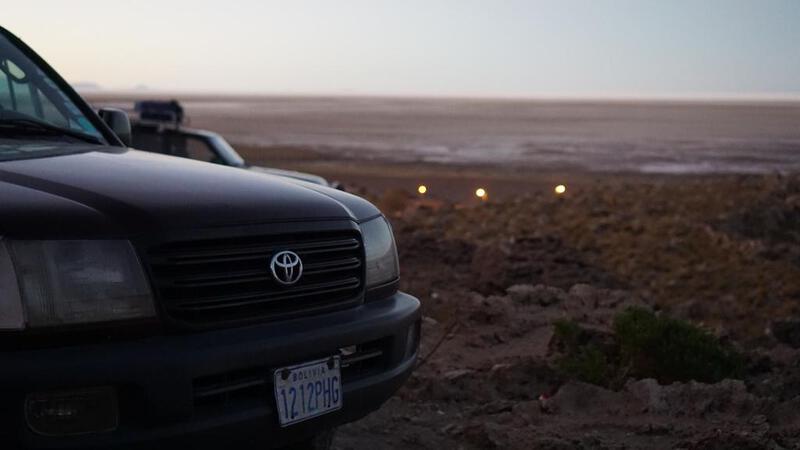
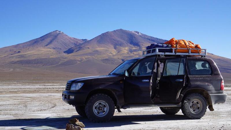
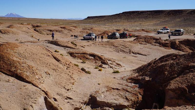
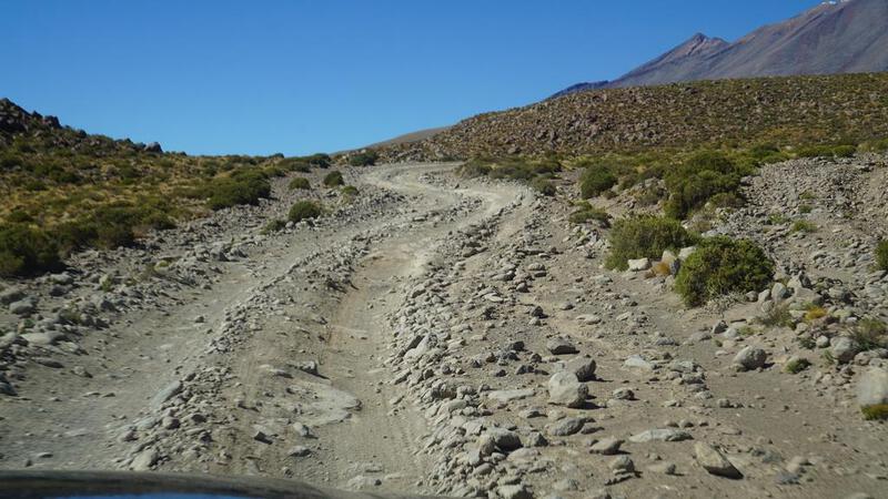
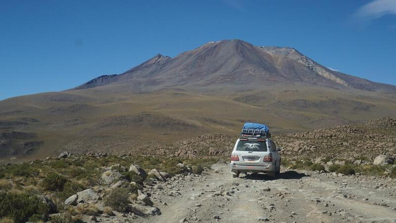
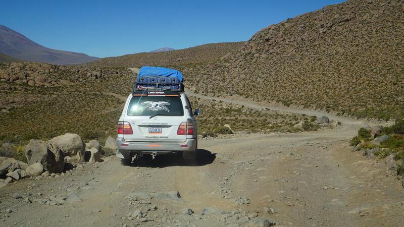
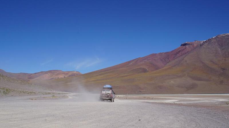
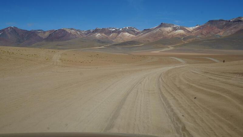
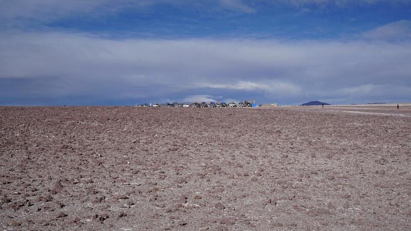
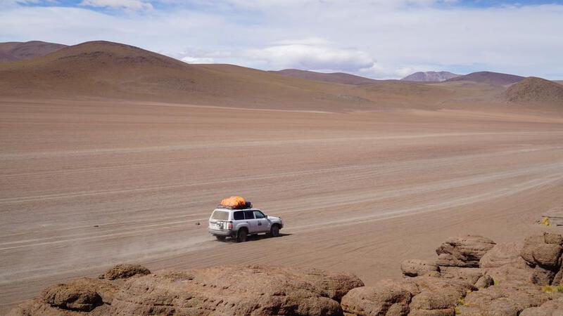
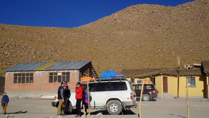
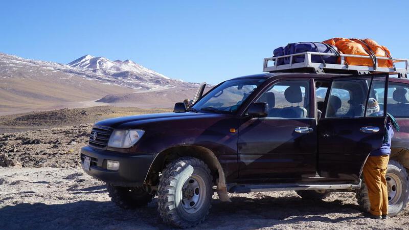
यह कोर्स बहुत लोकप्रिय लगता है, और टूर की गाड़ियाँ 20-30 की संख्या में चल रही थीं, जिनमें से 90% टोयोटा लैंड क्रूजर थीं। बाकी लेक्सस की एसयूवी और निसान की गाड़ियाँ थीं।
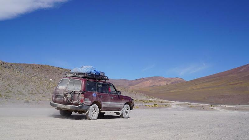
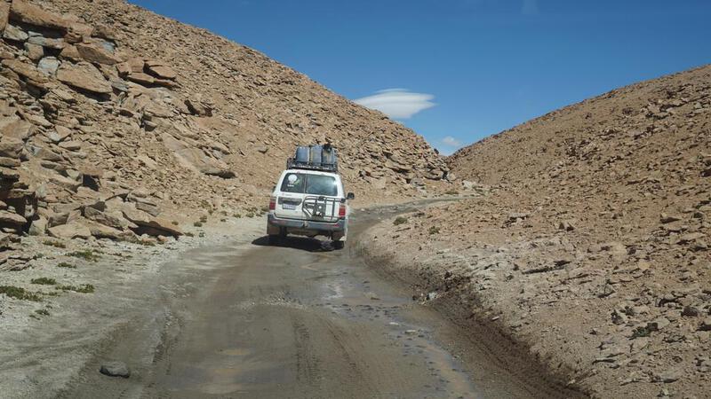
यह बहुत ही खराब सड़क थी, लेकिन लैंड क्रूजर होने के कारण यात्रा बहुत आरामदायक थी।
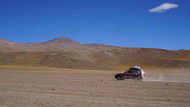
क्योंकि कोई गैस स्टेशन नहीं है, इसलिए लैंड क्रूजर की छत पर ईंधन के डिब्बे रखे हुए थे।


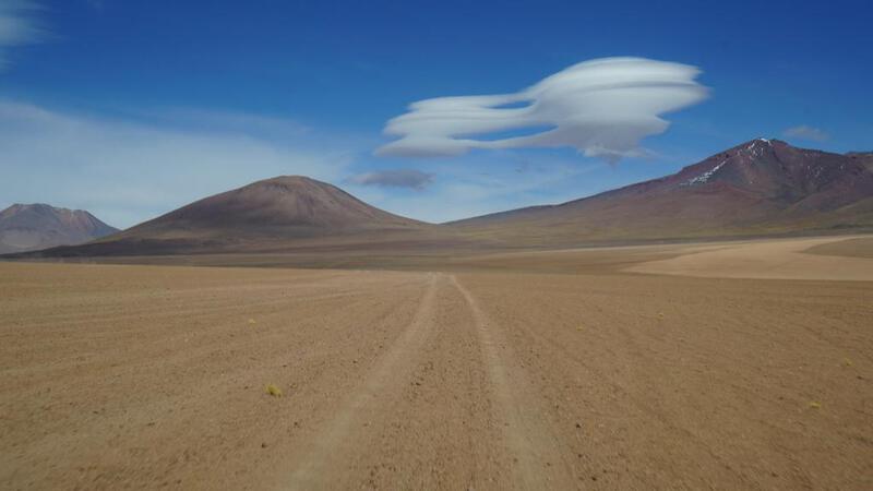
 इसके बाद, अंततः नमक झील की ओर।
बीजीएम: कॉपीराइट (सी) म्यूजिक पैलेट
http://www.music-palette.com/
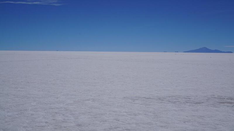
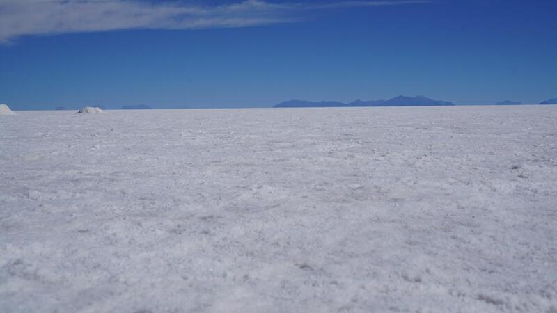
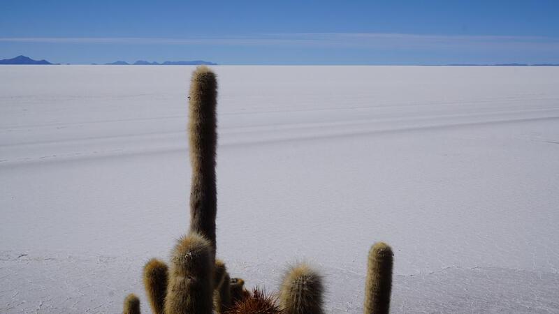
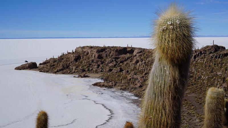
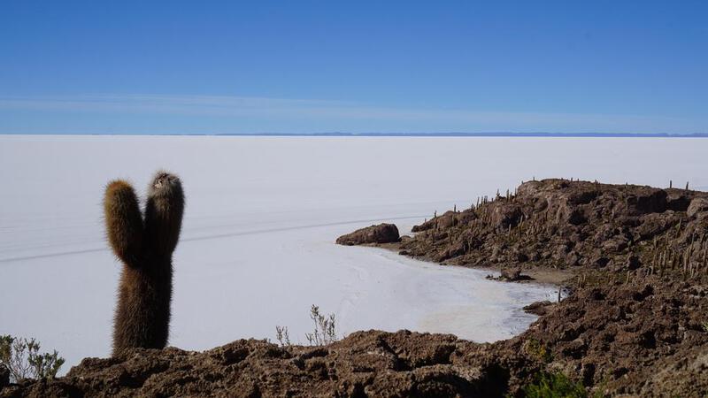
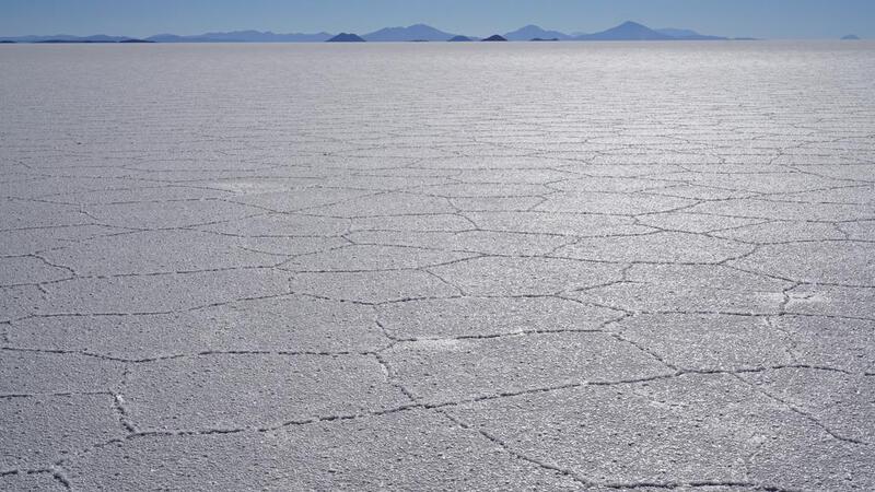
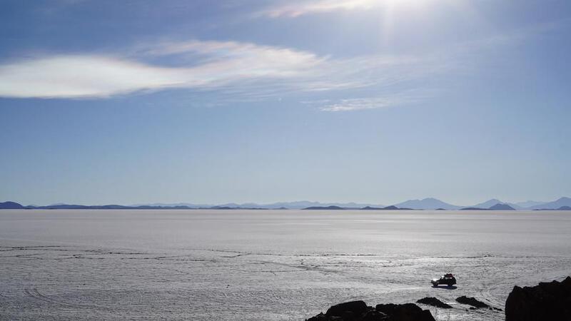
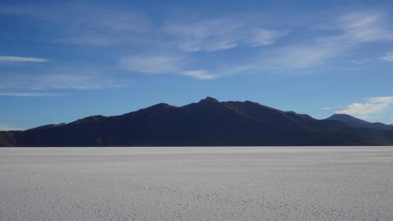
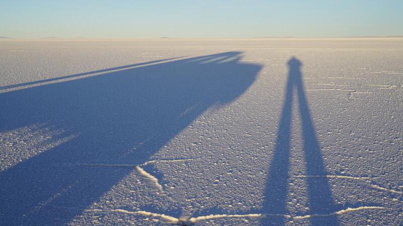
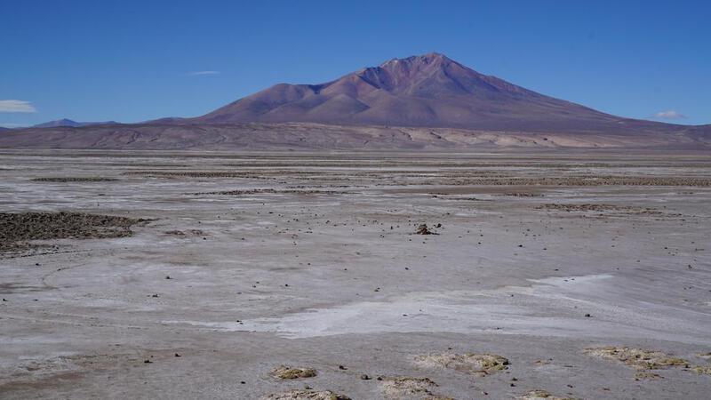
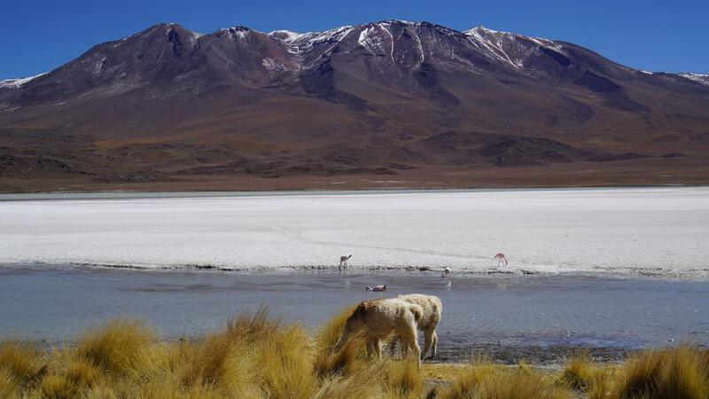
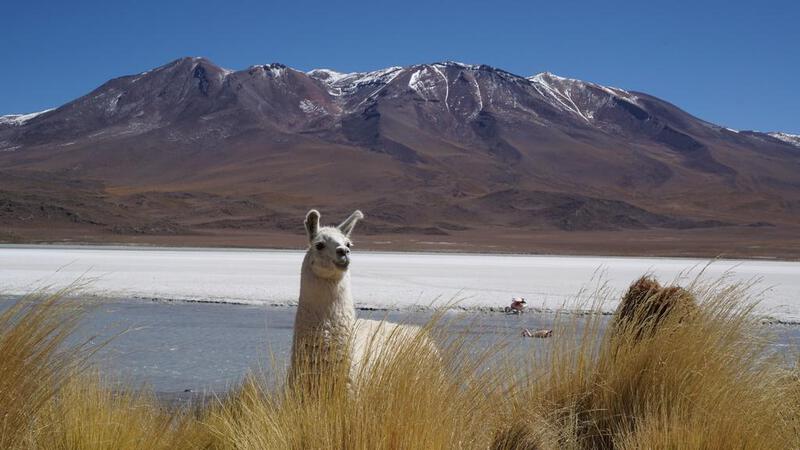
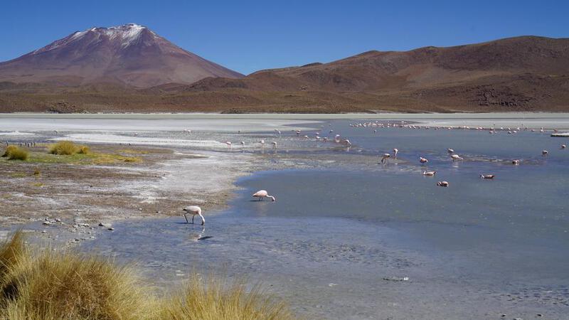
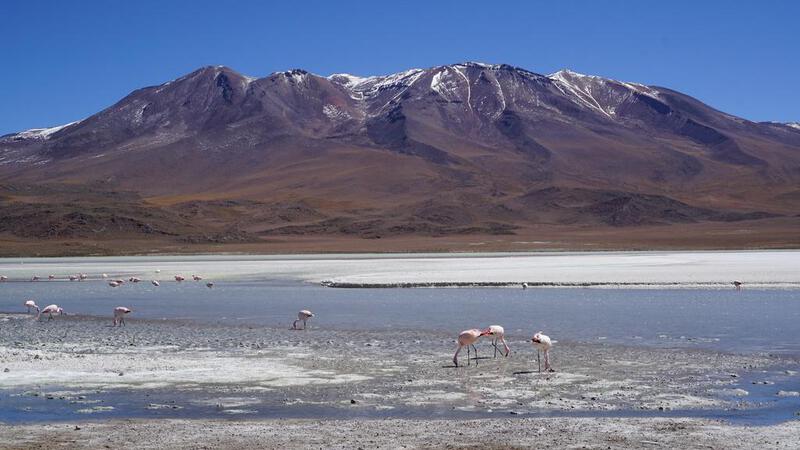
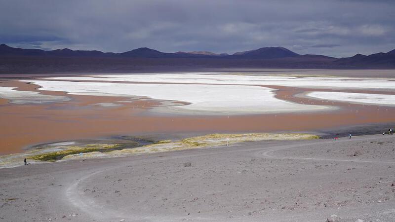
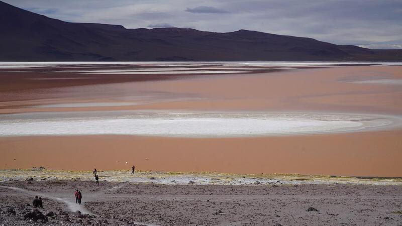
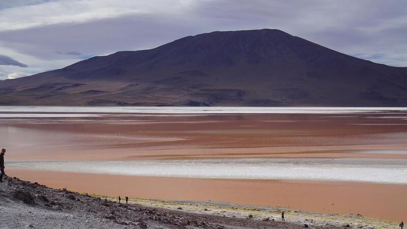
उयुनी नमक झील टूर, पहला दिन: उयुनी नमक झील।
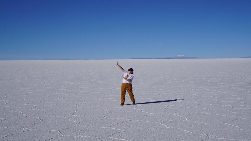
सुंदर। यह शानदार है। यह कल्पना से भी बढ़कर है।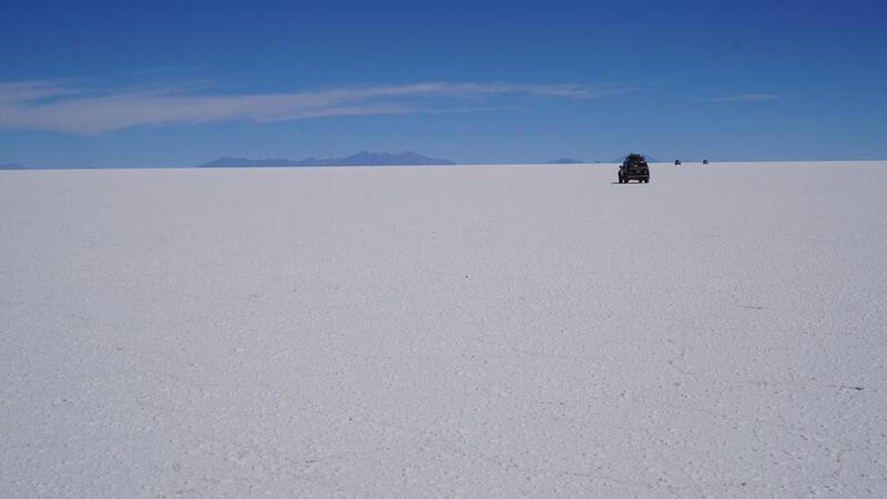

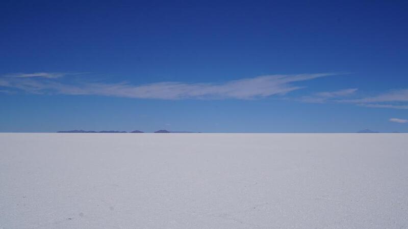

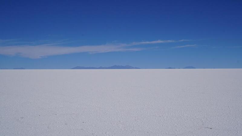
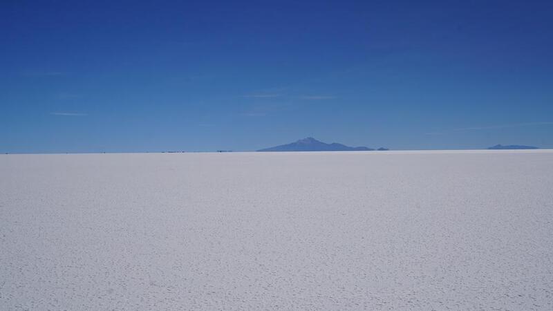


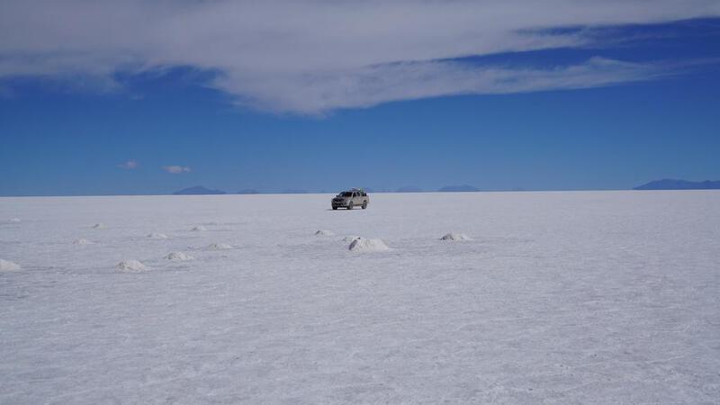


 यह ऐसा लग रहा है जैसे मैं झील के ऊपर उड़ रहा हूँ।
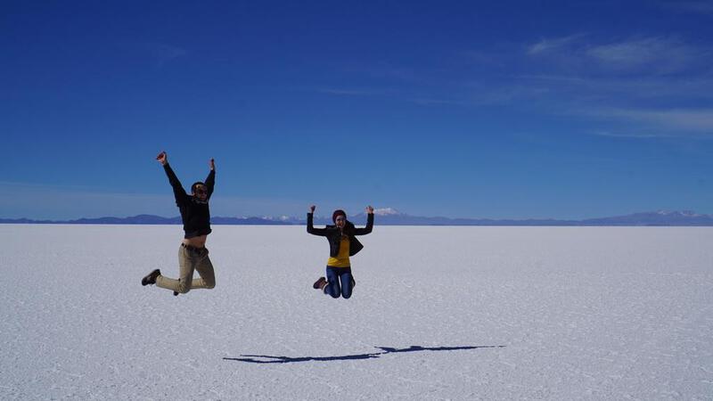

 BGM: कॉपीराइट (सी) म्यूजिक पैलेट
http://www.music-palette.com/
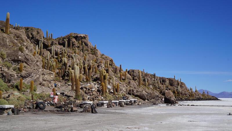
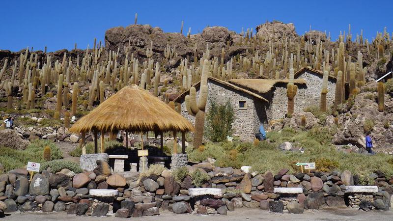
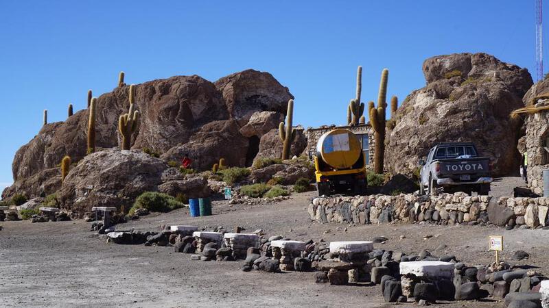
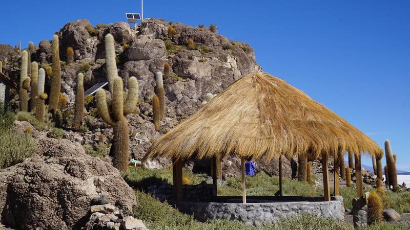
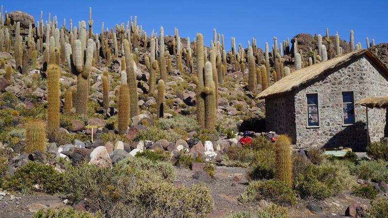
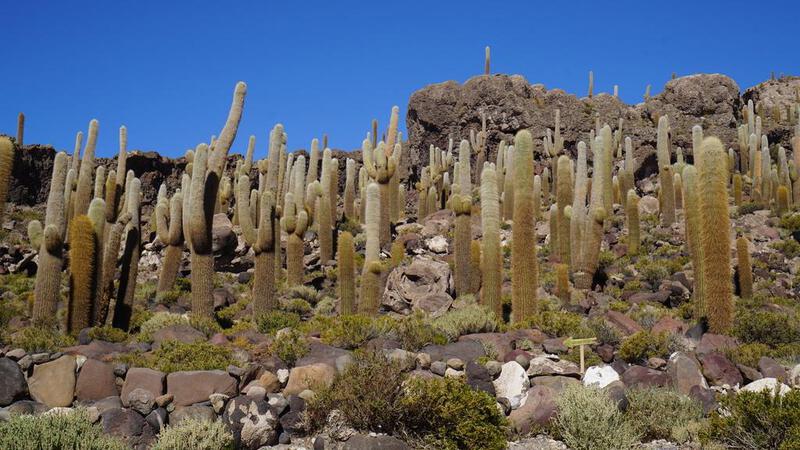
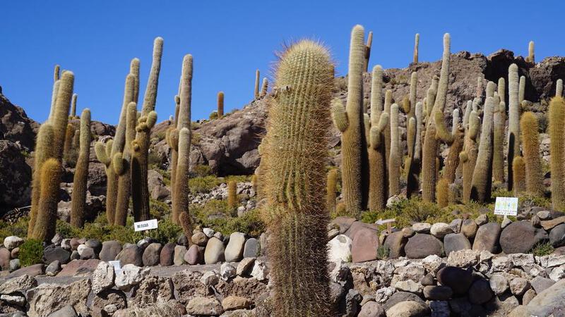
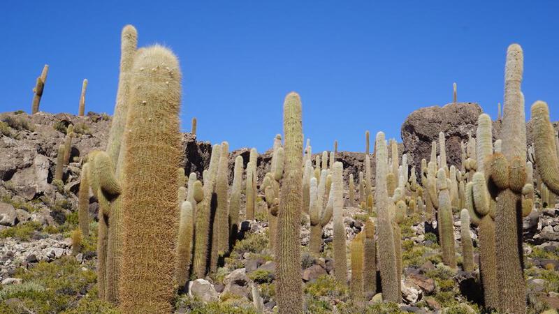
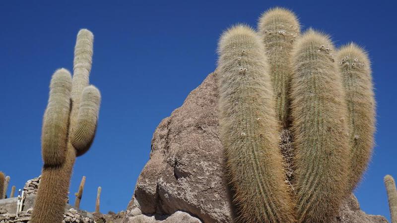
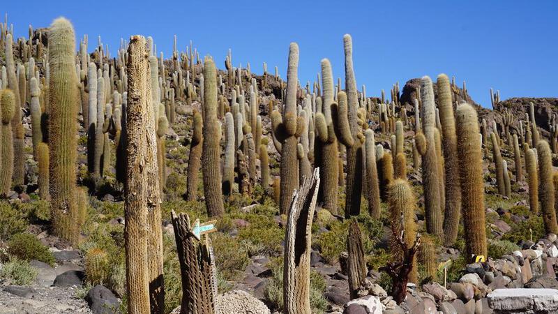
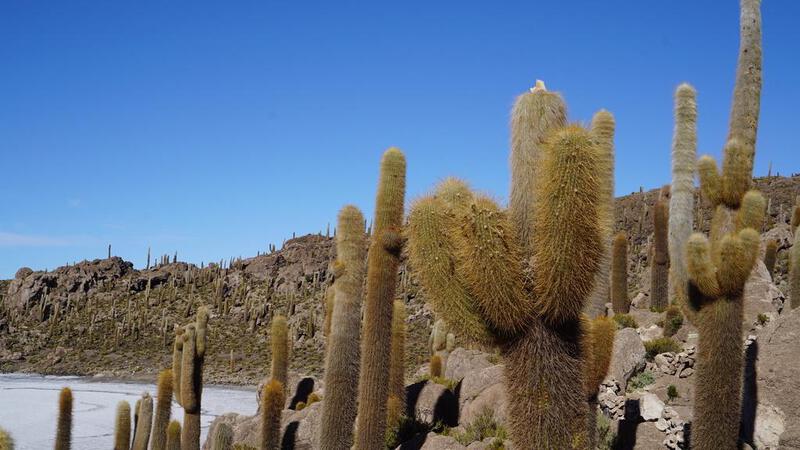
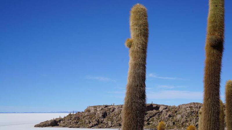
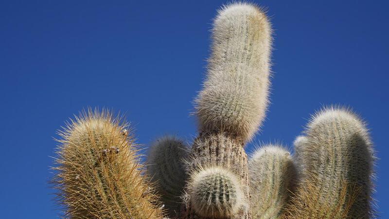
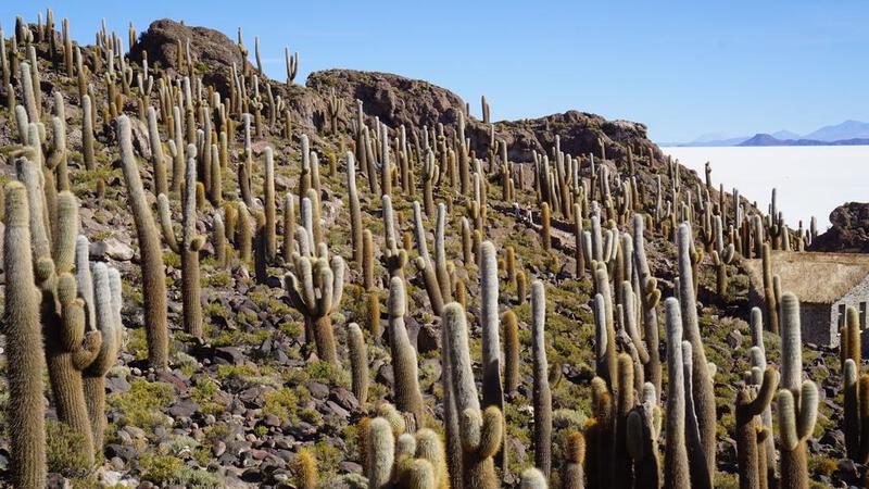
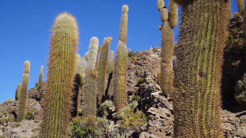
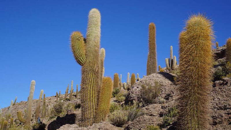
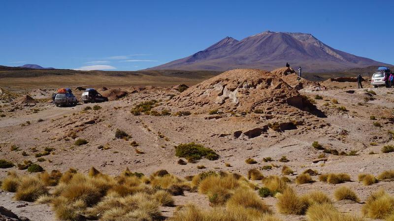
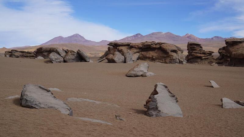
उयुनी नमक झील टूर, पहला दिन: Isla Incahuasi
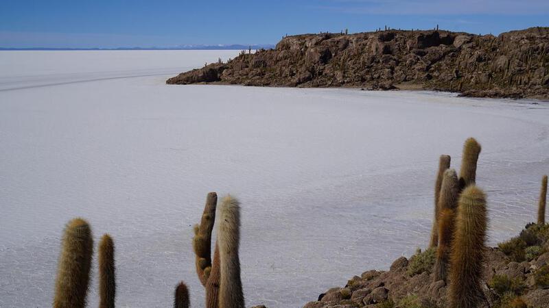

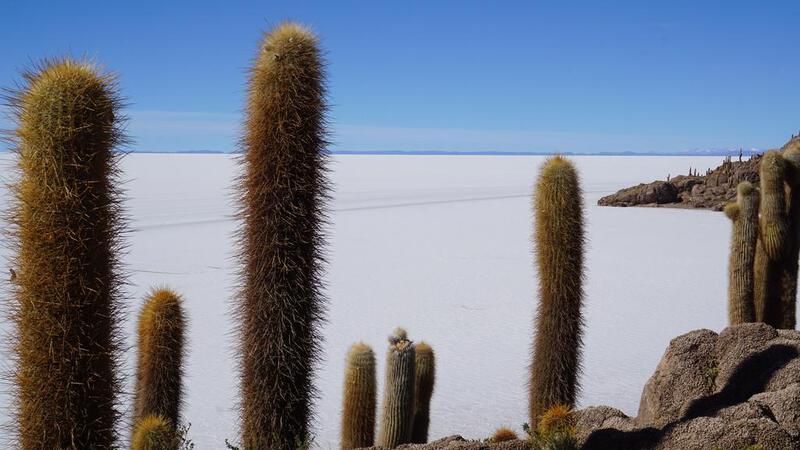


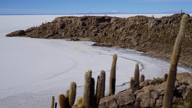

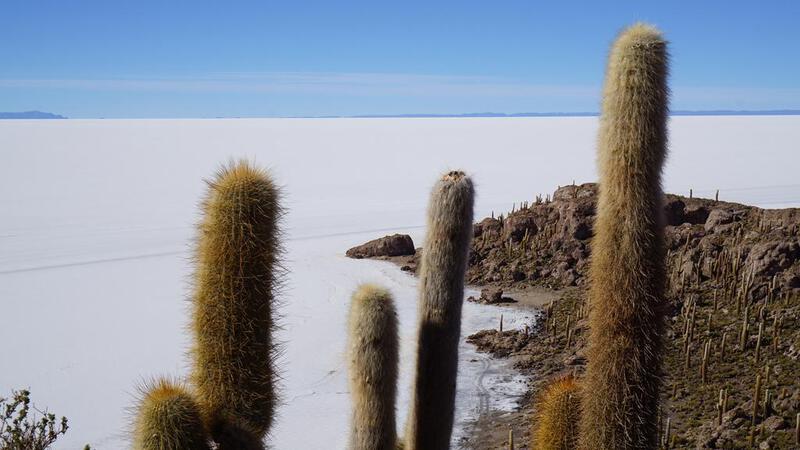
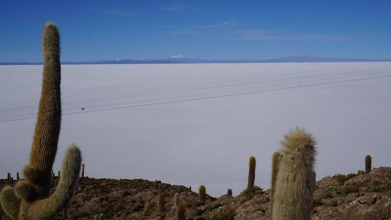

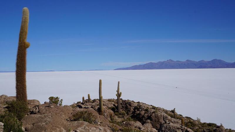
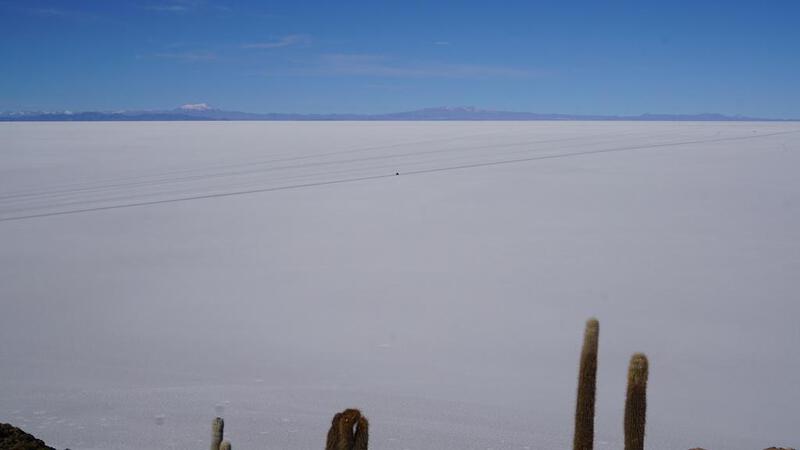
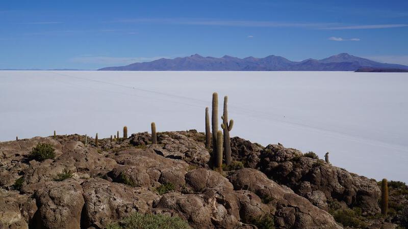
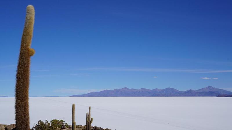
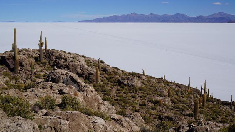
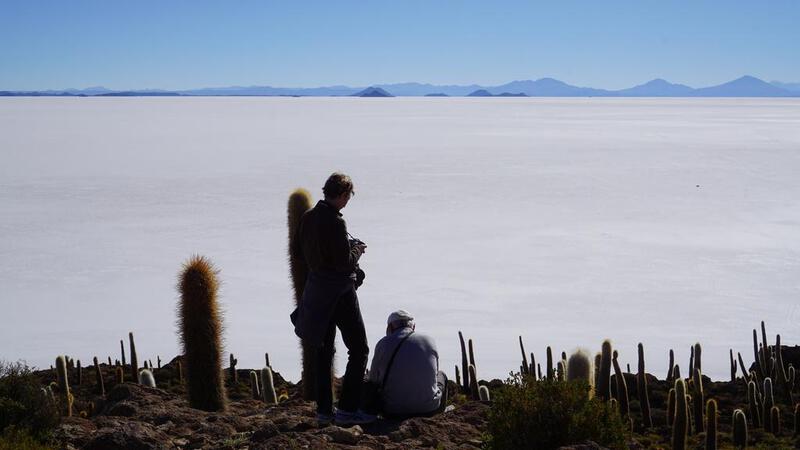

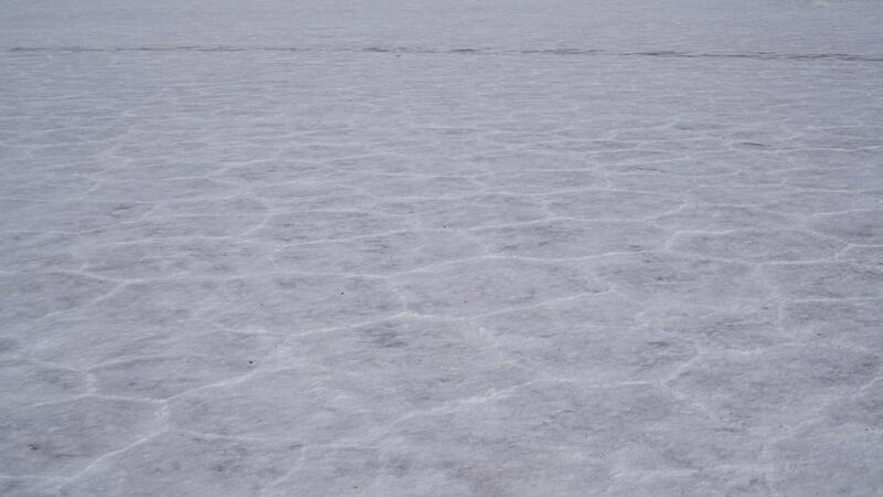
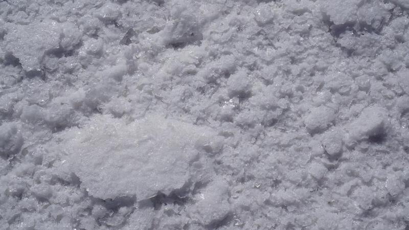
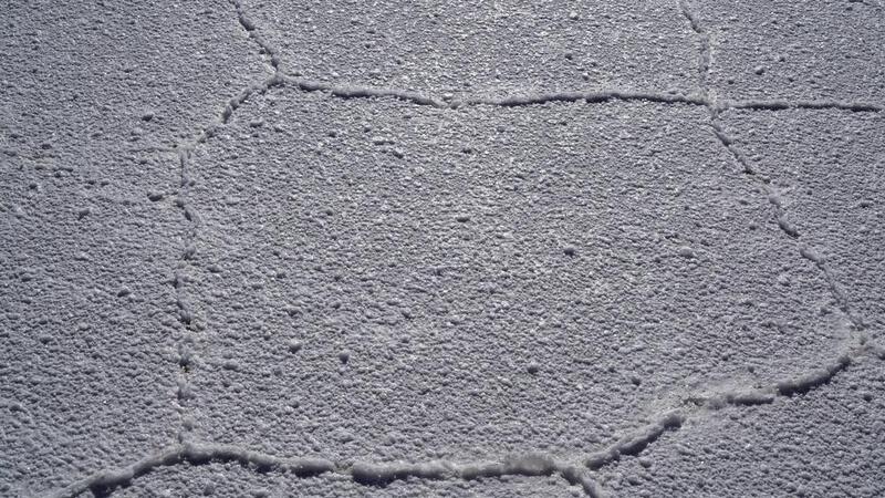
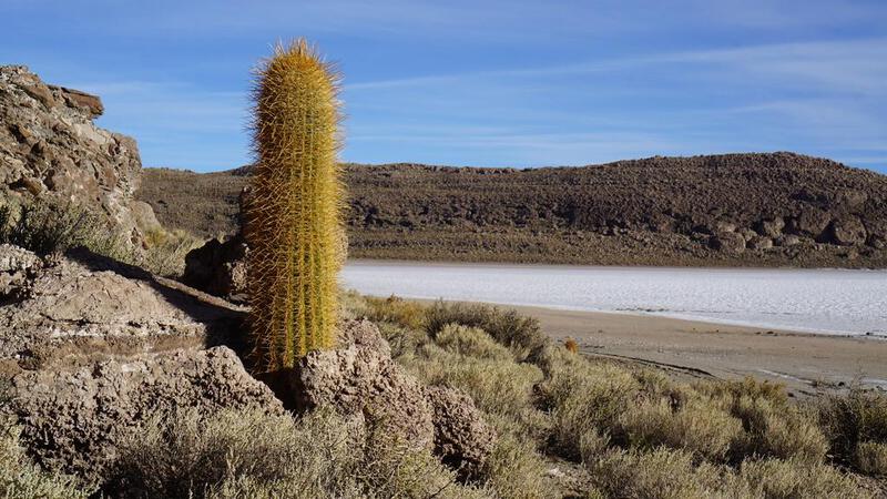
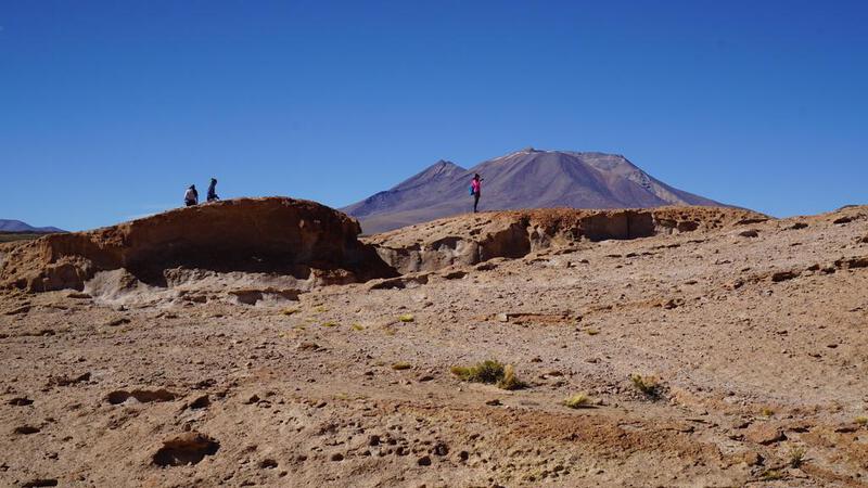
उयुनी नमक झील टूर, पहला दिन: वह स्थान जहाँ नमक के क्रिस्टल स्पष्ट रूप से दिखाई देते हैं।


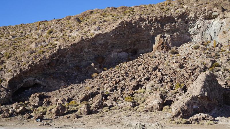
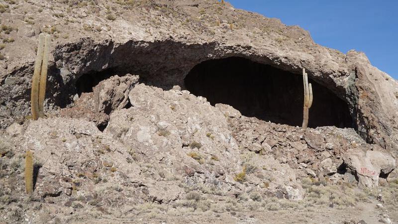
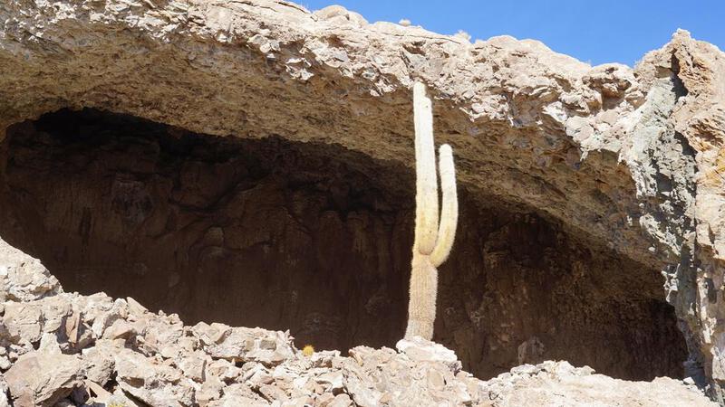
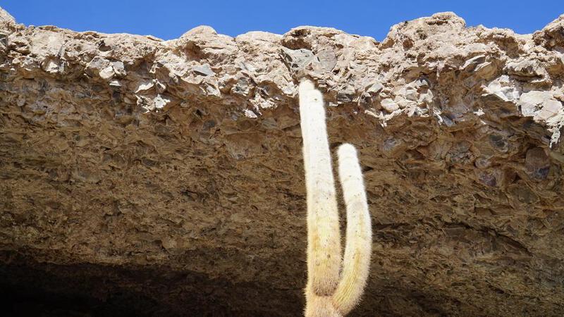
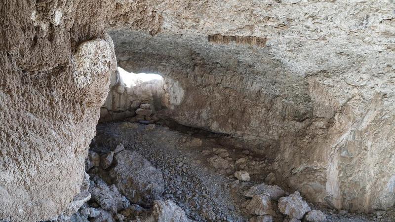
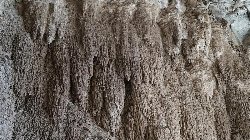
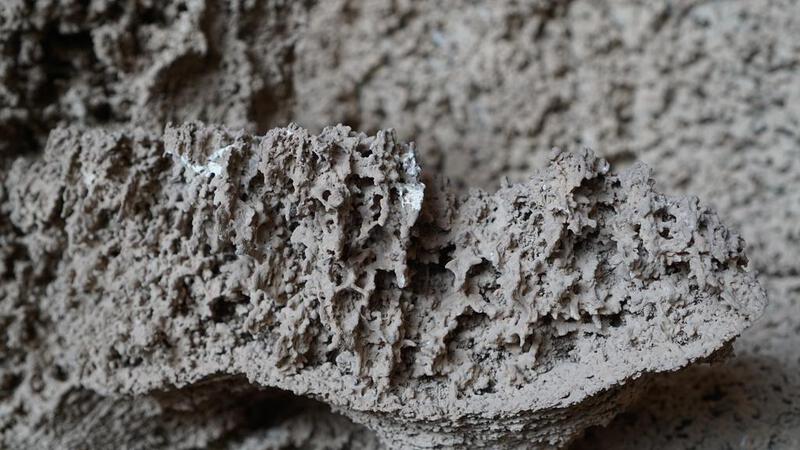
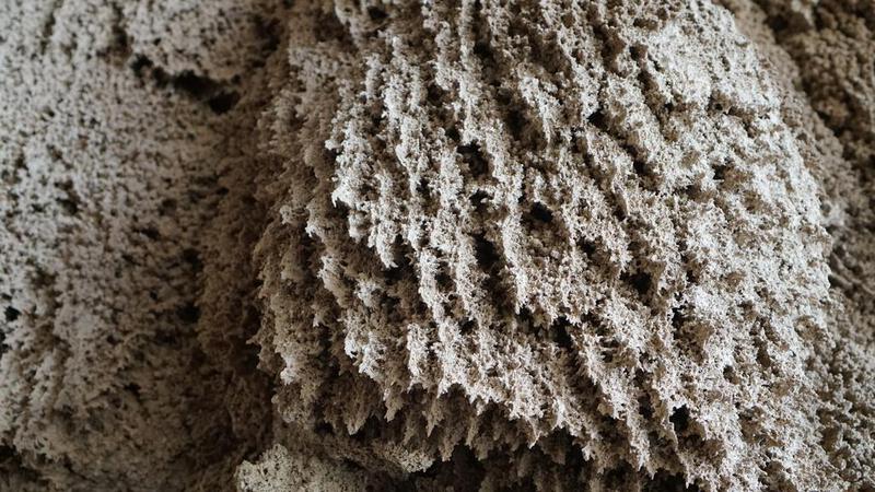
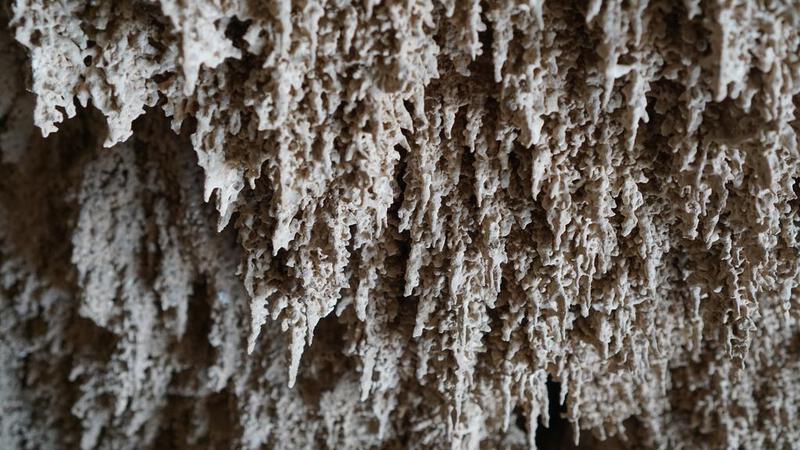
उयुनी नमक झील टूर, पहला दिन: गुफा।


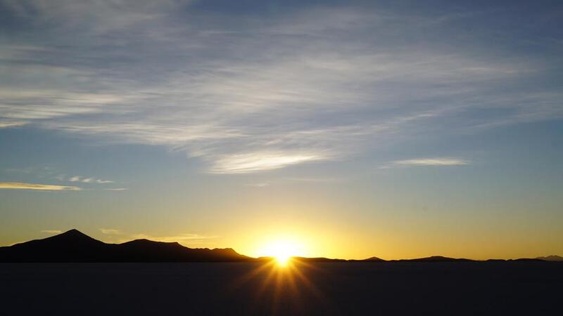
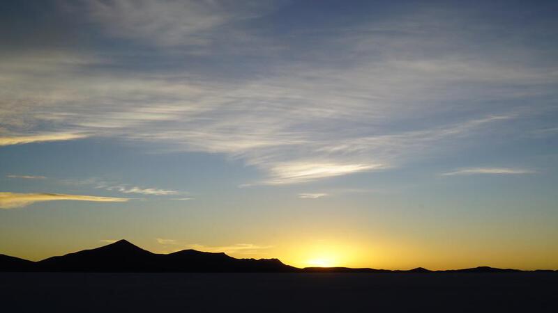
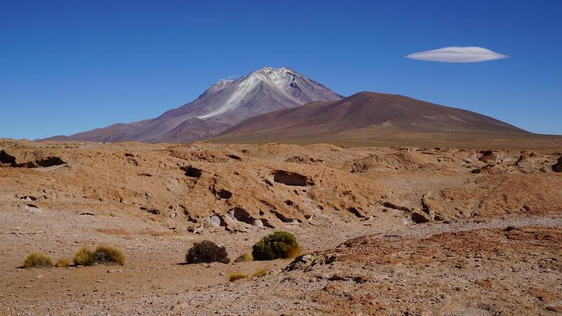
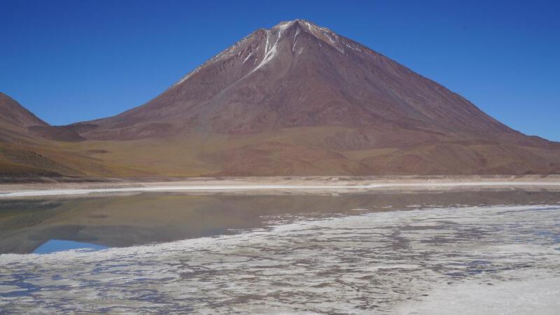
उयुनी नमक झील टूर, पहला दिन: सूर्यास्त।


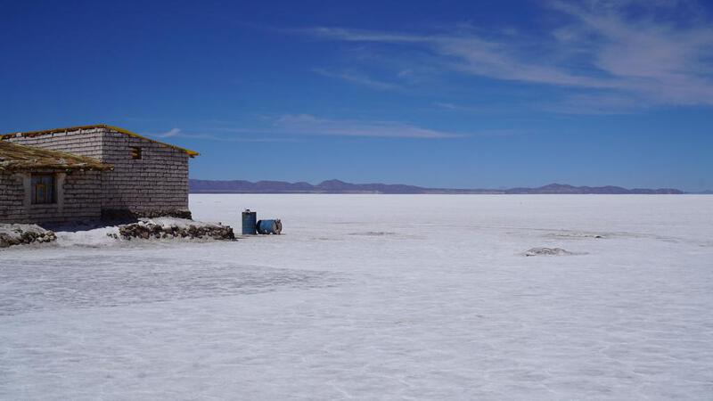
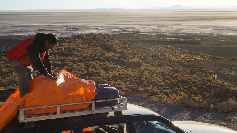
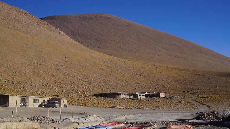
उयुनी नमक झील टूर, पहला दिन: आवास पर स्थानांतरण।

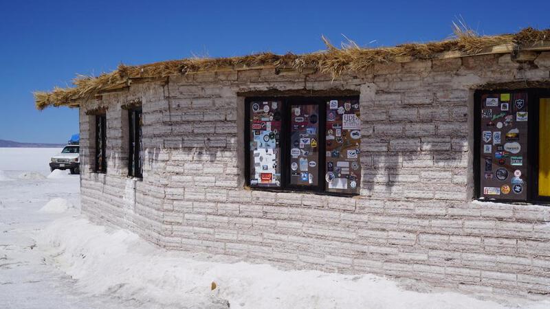
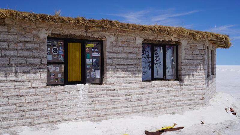
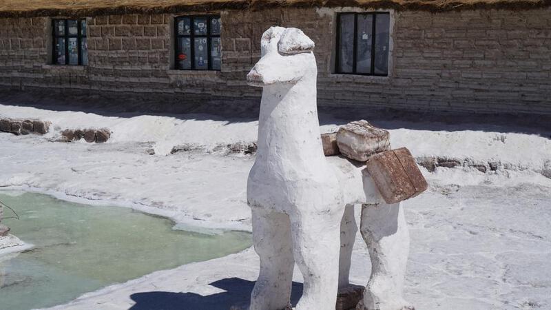
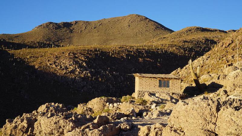
उयुनी नमक झील टूर, पहला दिन: आवास।


उयुनी नमक झील टूर, दूसरा दिन: सुबह।

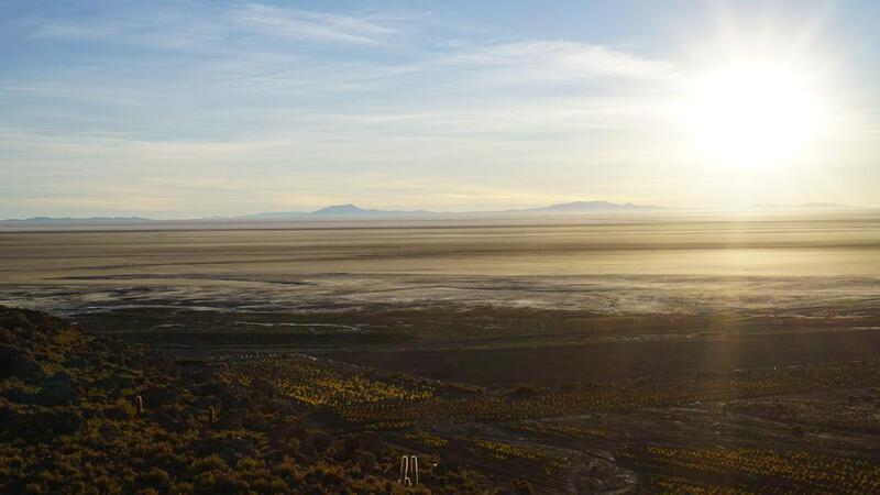

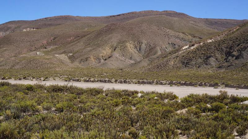
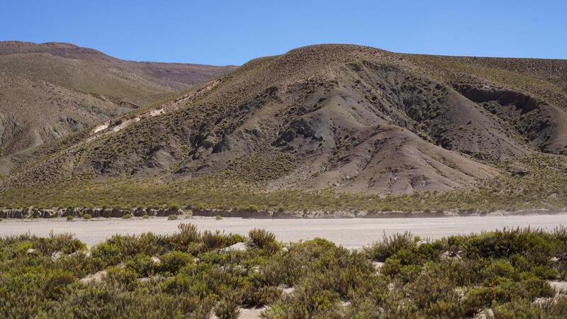
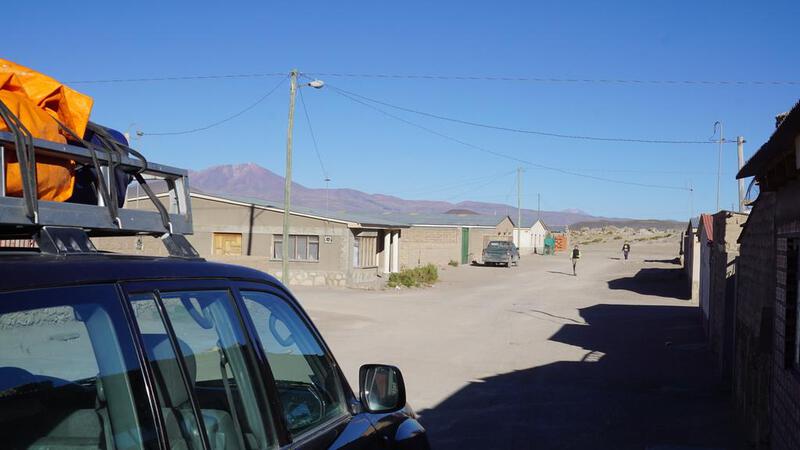
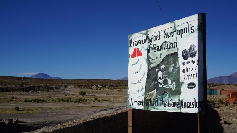
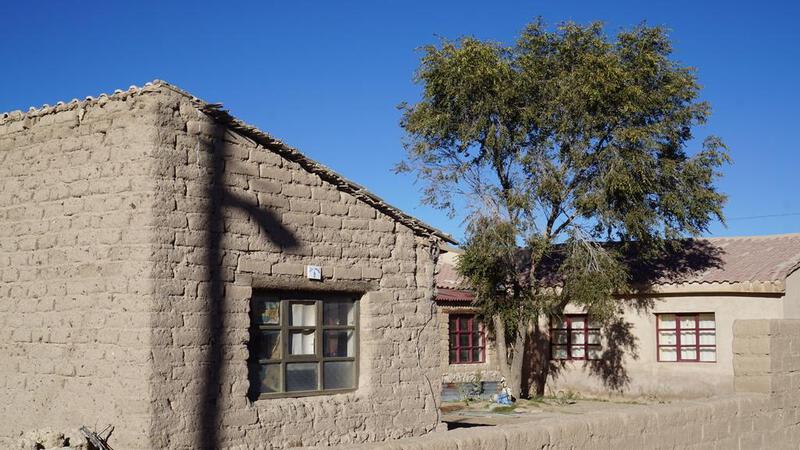
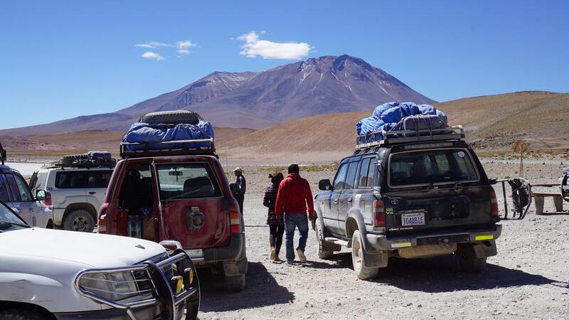
उयुनी नमक झील टूर, दूसरा दिन: सैन जुआन की ओर प्रस्थान।
मैं सैन जुआन नामक एक छोटे शहर में जा रहा हूँ।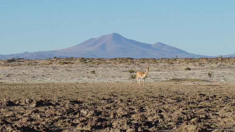


 BGM: कॉपीराइट (सी) म्यूजिक पैलेट
http://www.music-palette.com/
उयुनी नमक झील टूर, दूसरा दिन: सीमा के पास स्थानांतरण।
मैं सीमा के पास जा रहा हूँ।


 BGM: कॉपीराइट (सी) म्यूजिक पैलेट
http://www.music-palette.com/
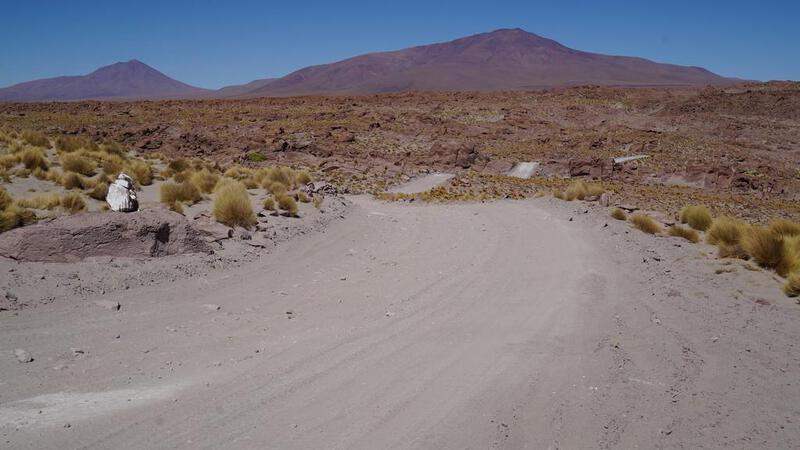
उयुनी नमक झील टूर, दूसरा दिन: "रत्न पथ" की ओर शाखा।
रत्न के रास्ते में एक शाखा है।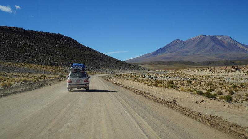


 BGM: कॉपीराइट (सी) म्यूजिक पैलेट
http://www.music-palette.com/
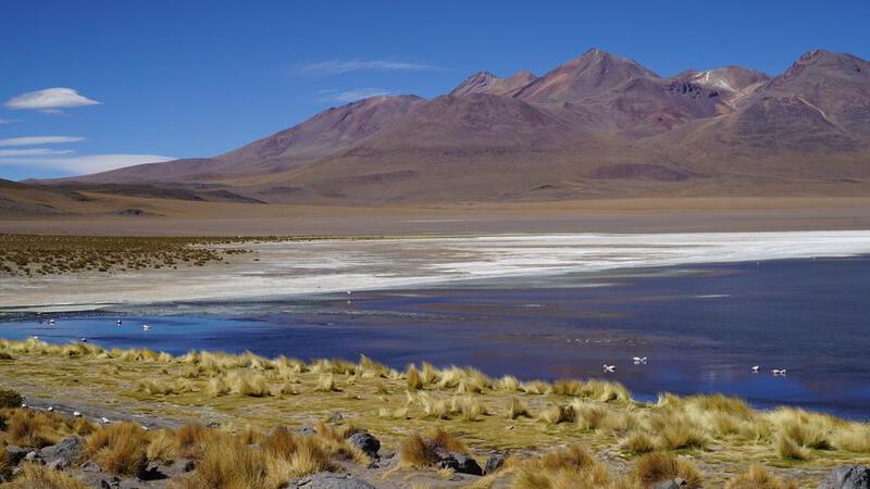
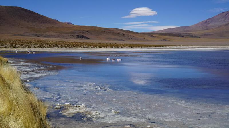
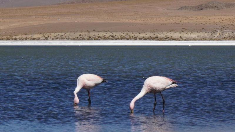
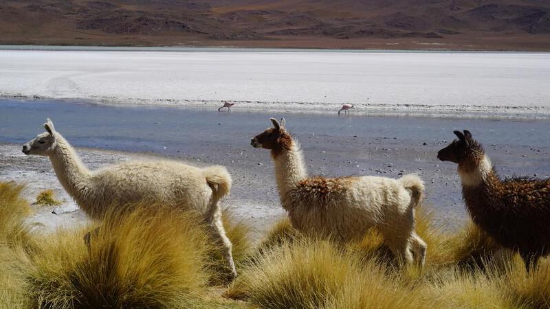
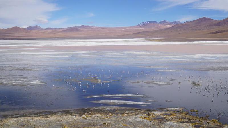
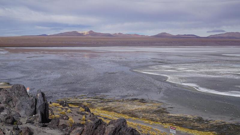
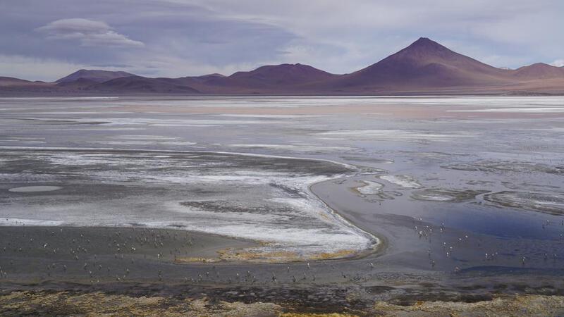
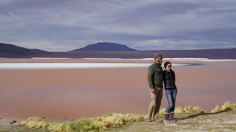
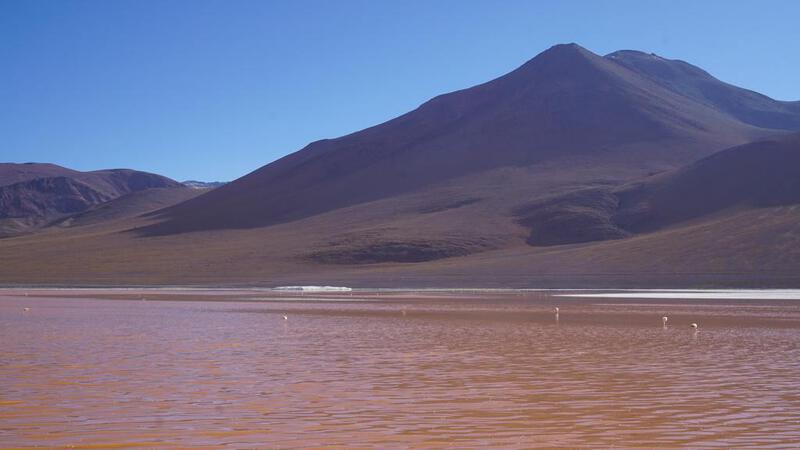
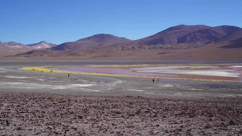
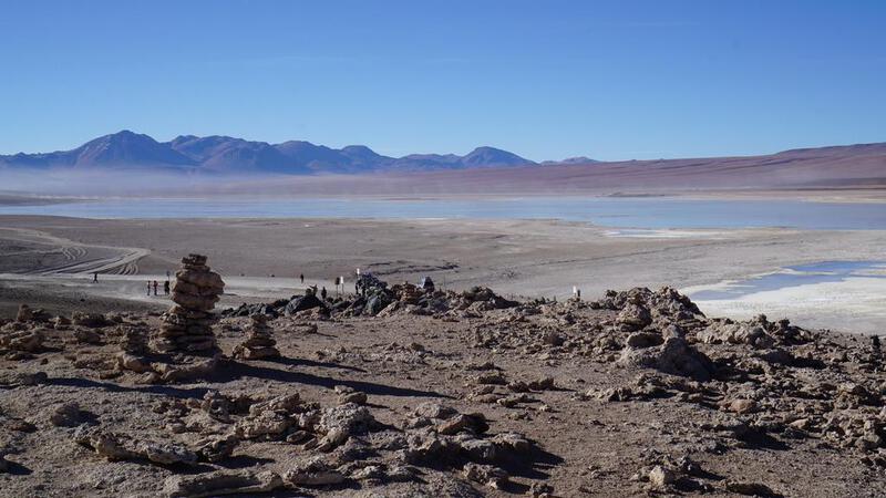
उयुनी नमक झील टूर, दूसरा दिन: झील के किनारे दोपहर का भोजन।
झील के किनारे दोपहर का भोजन करेंगे।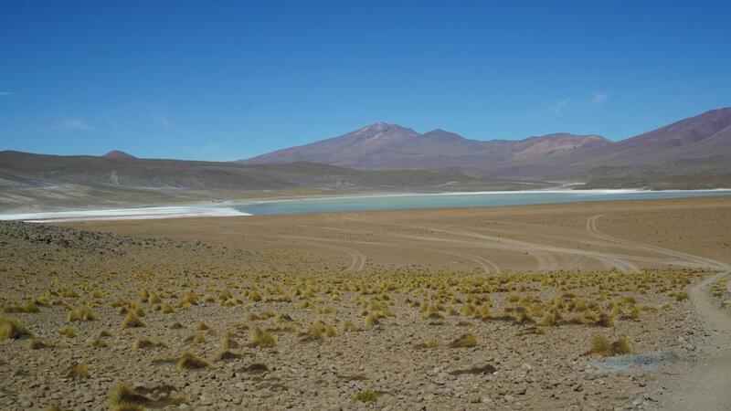
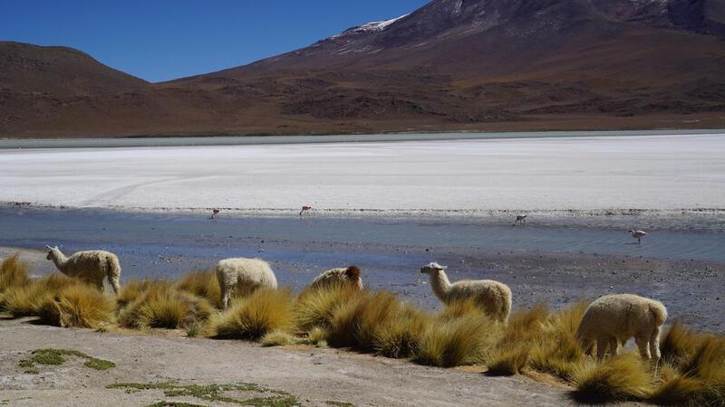


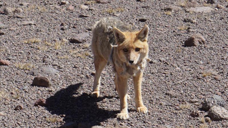
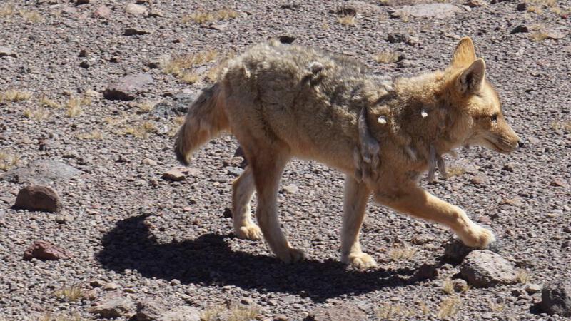
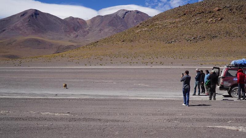
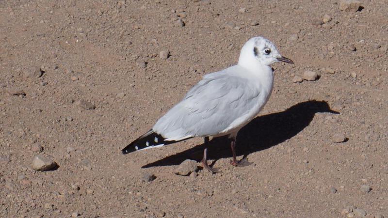
 इतनी जगह पर लोमड़ी।
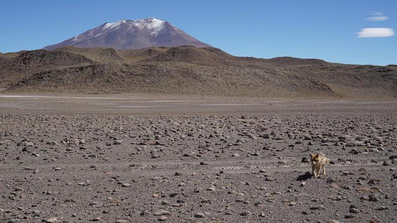
 BGM: कॉपीराइट (सी) म्यूजिक पैलेट
http://www.music-palette.com/
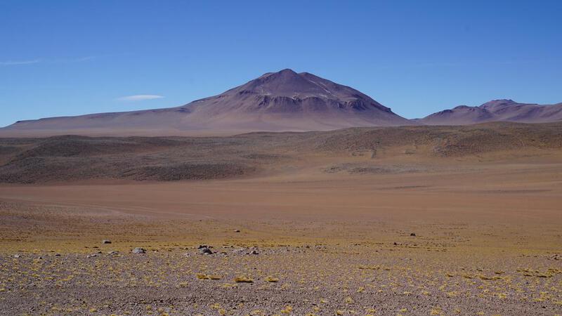
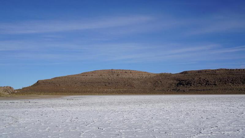
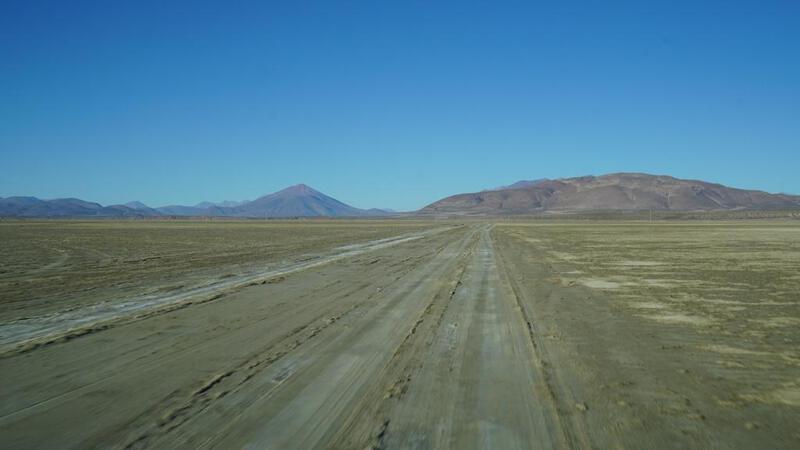
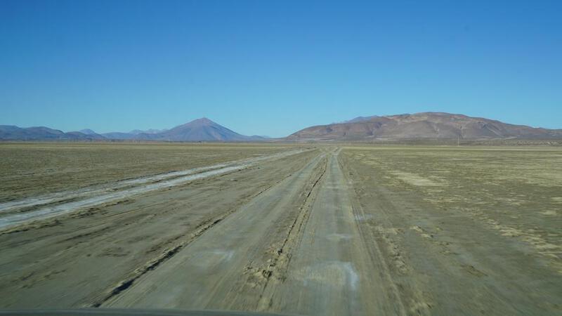
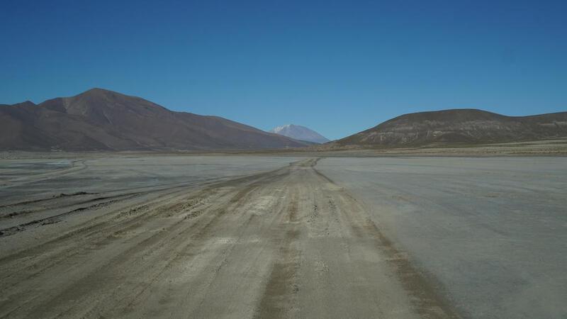
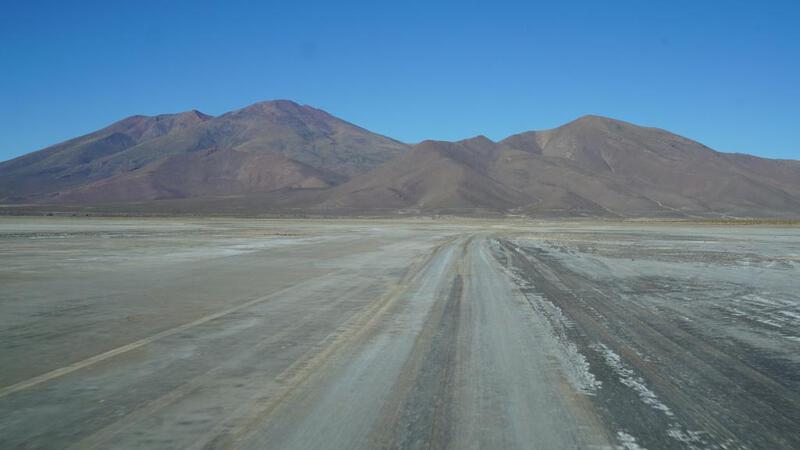
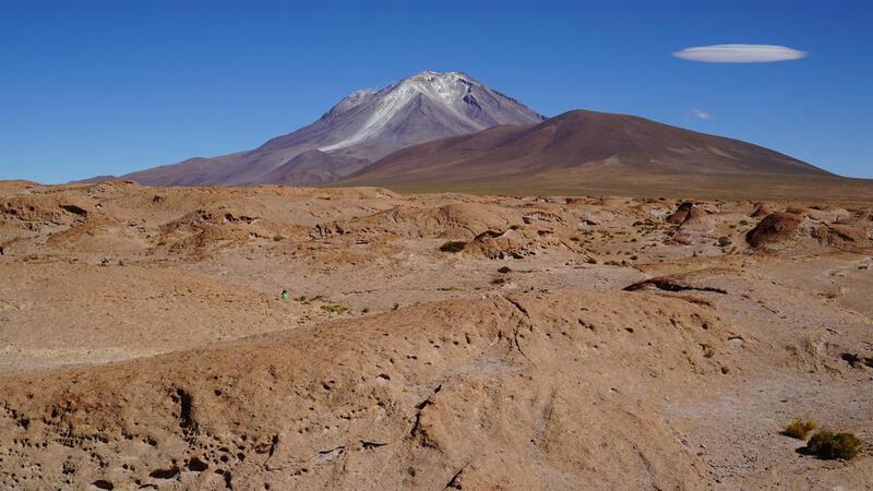
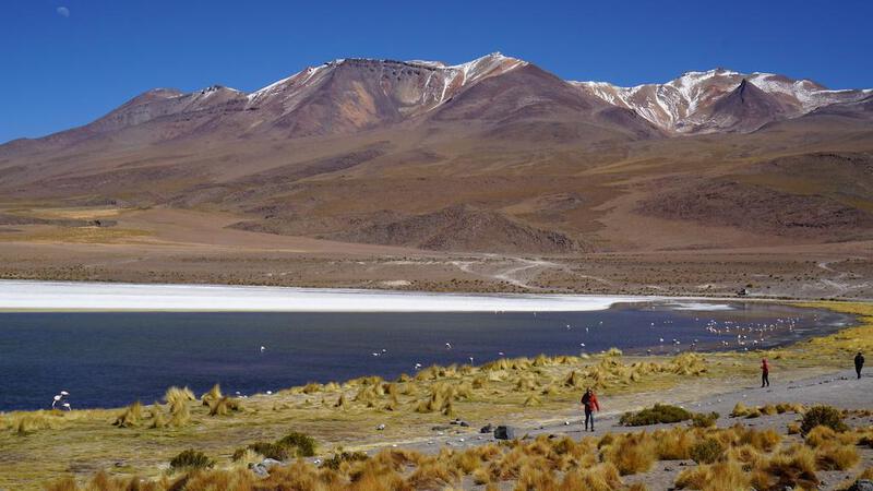
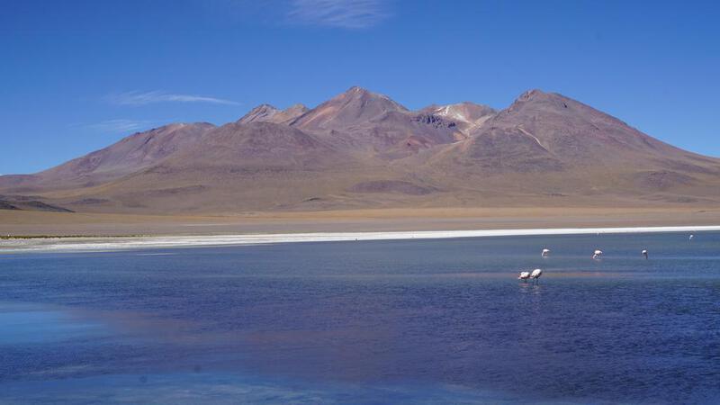
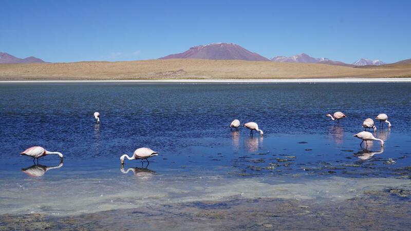
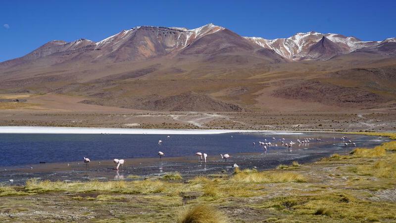
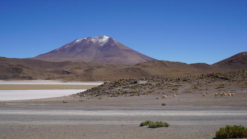
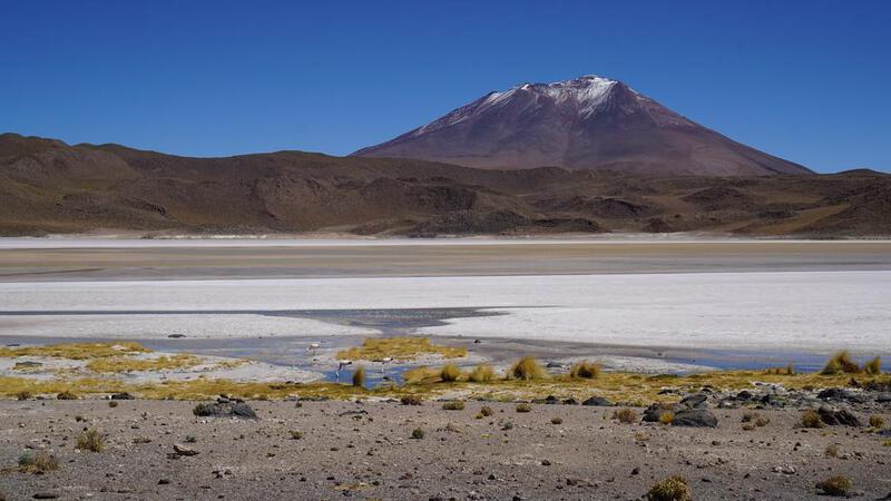
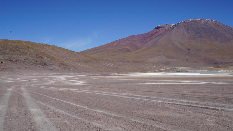
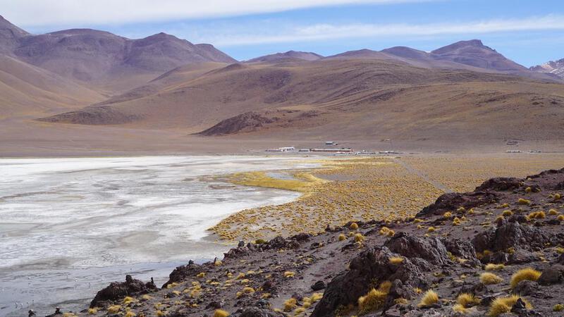
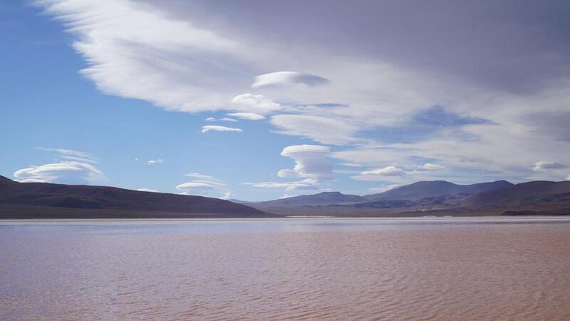
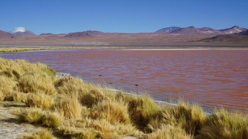
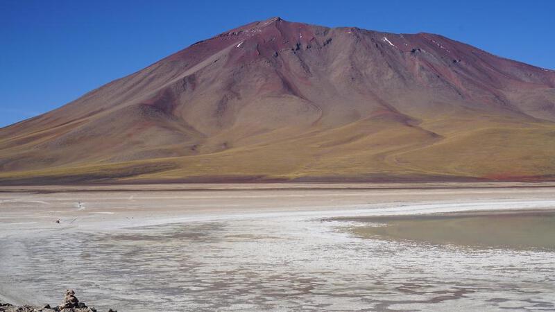
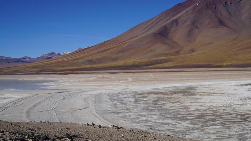
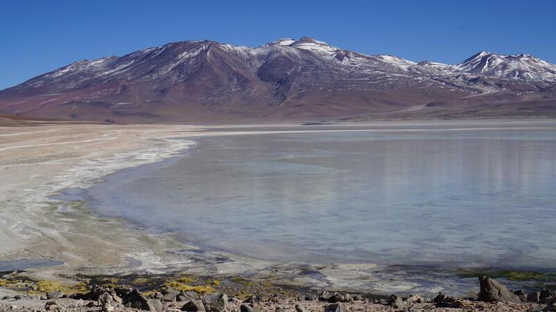
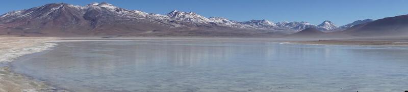
उयुनी नमक झील टूर, दूसरा दिन: किसी अन्य झील में स्थानांतरण।


उयुनी नमक झील टूर, दूसरा दिन: "रत्न पथ" पर दक्षिण की ओर यात्रा।
रत्न पथ की ओर दक्षिण दिशा में।


 बीजीएम: कॉपीराइट (सी) म्यूजिक पैलेट
http://www.music-palette.com/
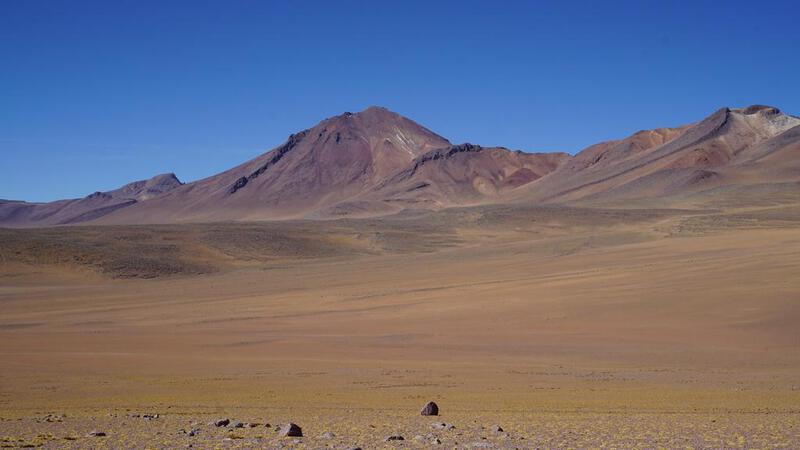
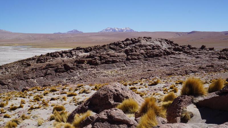
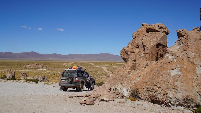
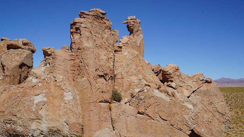
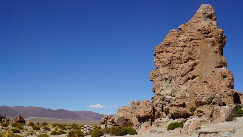
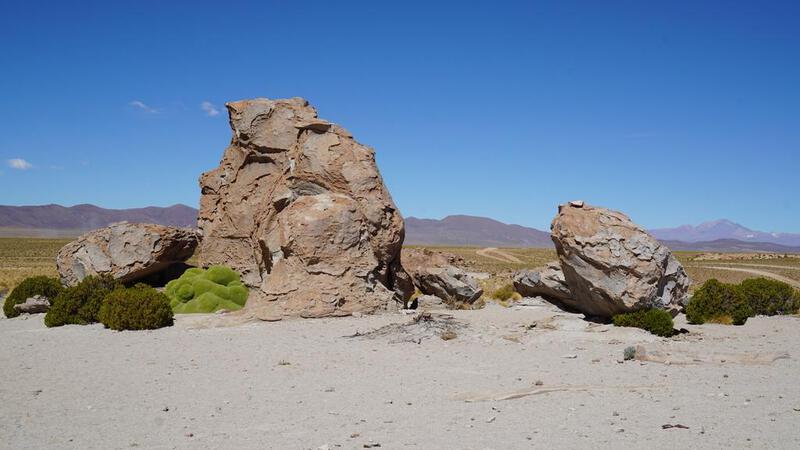
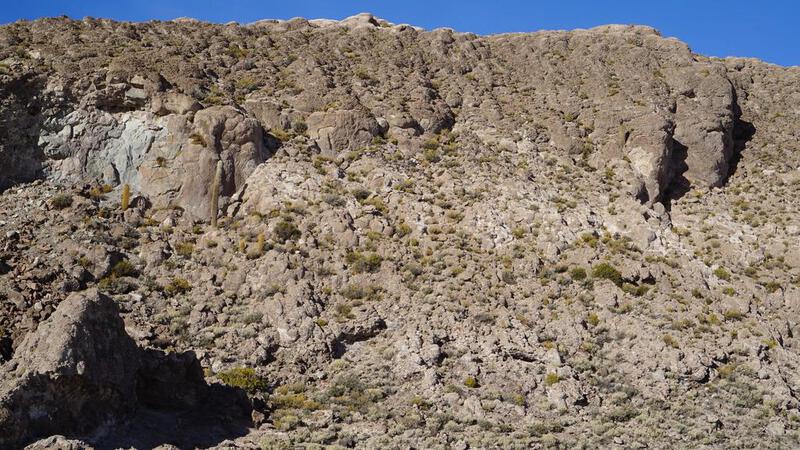
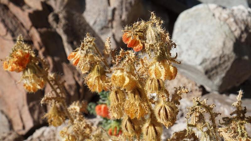
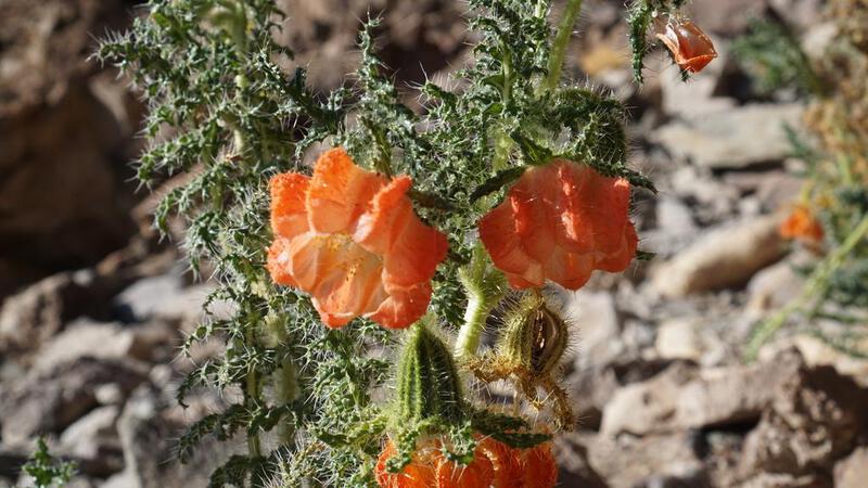
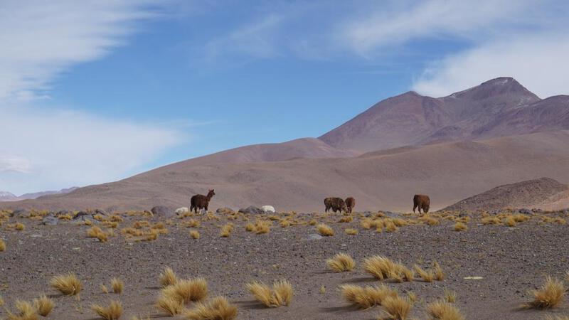
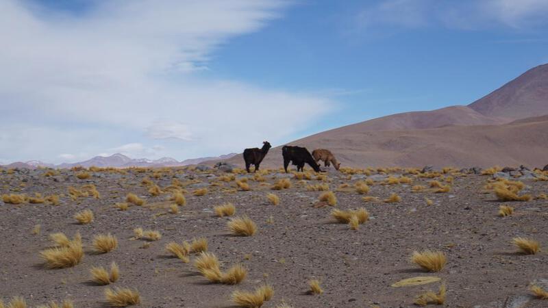
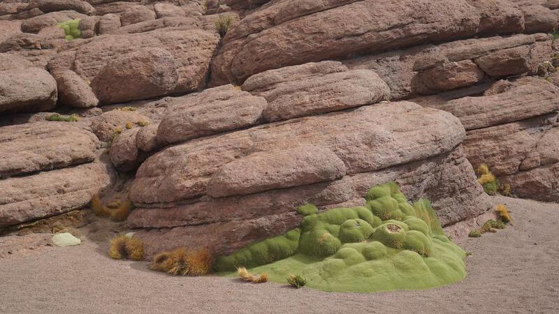
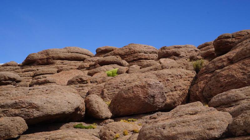
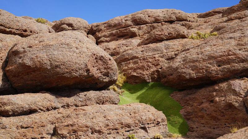
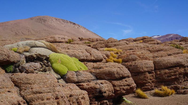
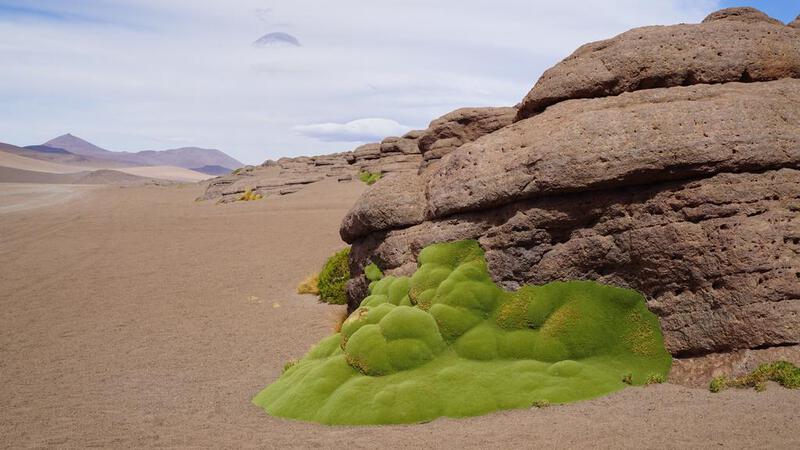
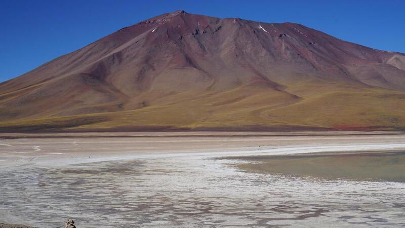
उयुनी नमक झील टूर, दूसरा दिन: काई की एक प्रजाति (कठोर)।


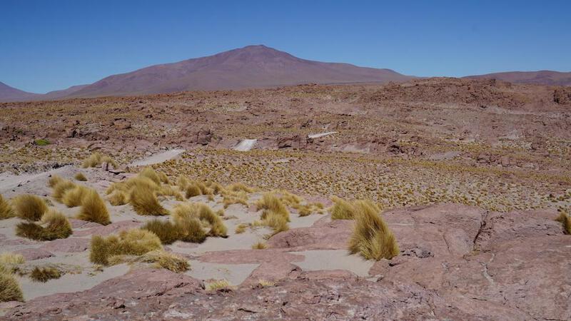
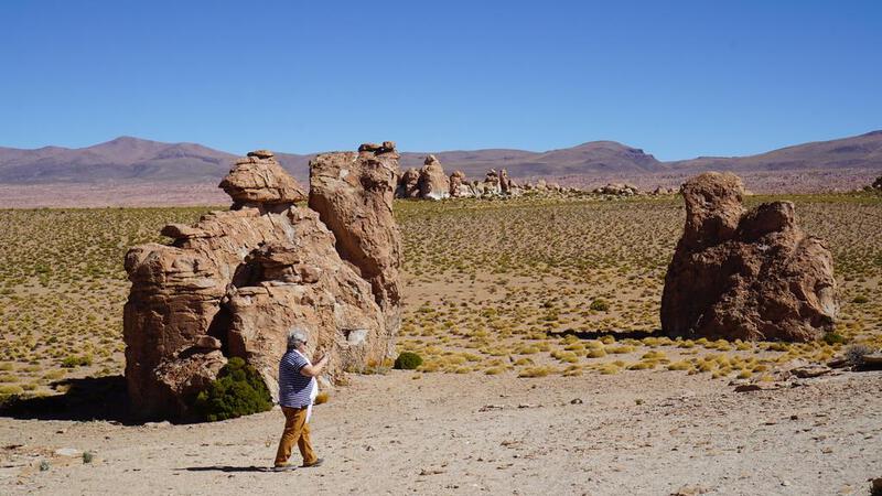
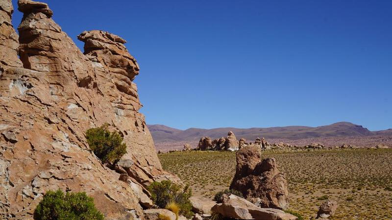
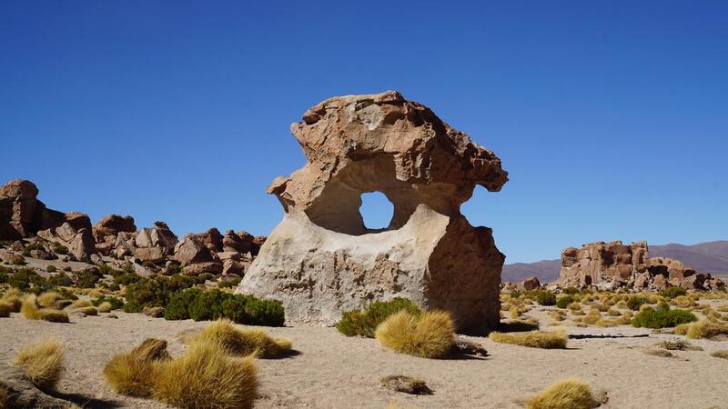
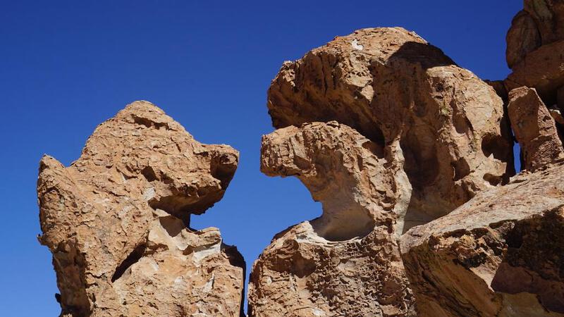
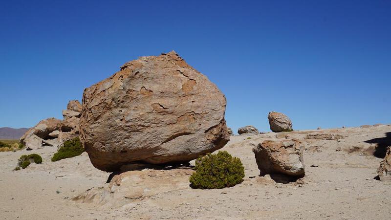
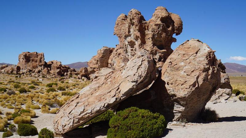
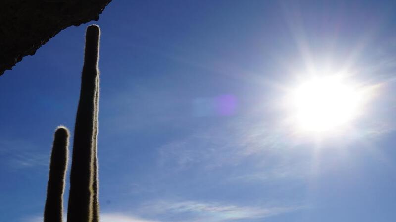
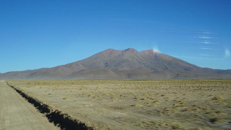
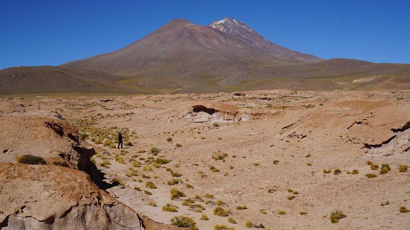
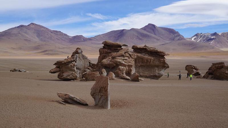
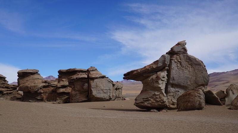
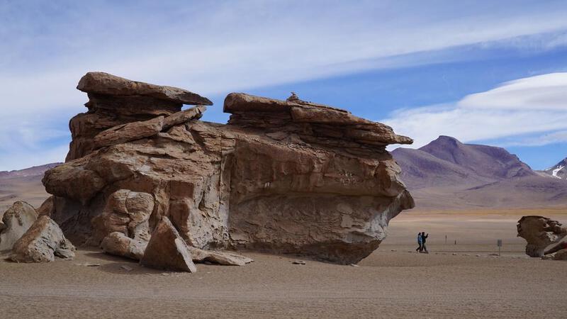
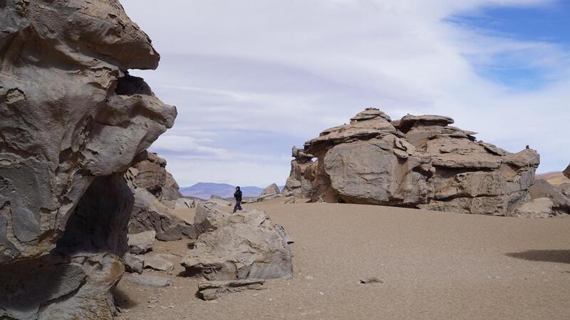
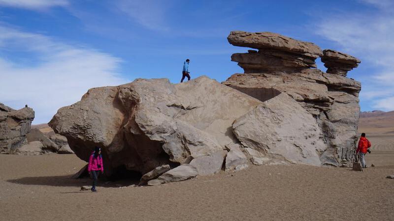
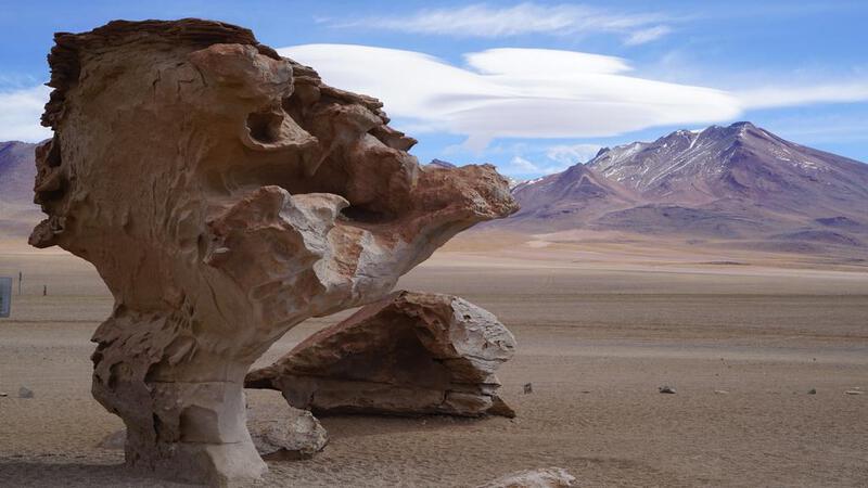
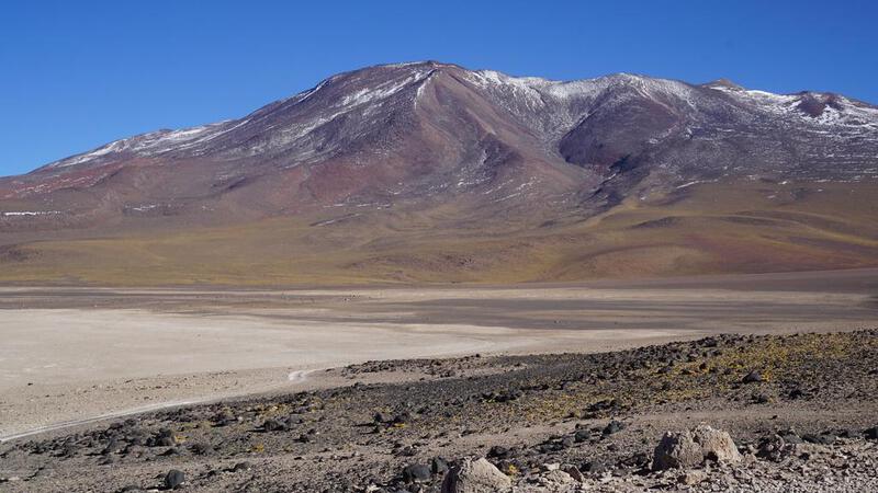
उयुनी नमक झील टूर, दूसरा दिन: "आर्बोल दे पिएड्रा" की ओर दक्षिण की ओर यात्रा।
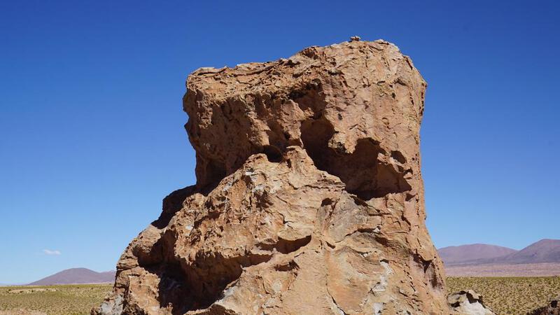
उयुनी नमक झील टूर, दूसरा दिन: आर्बोल डे पिएड्रा।


उयुनी नमक झील टूर, दूसरा दिन: आवास।

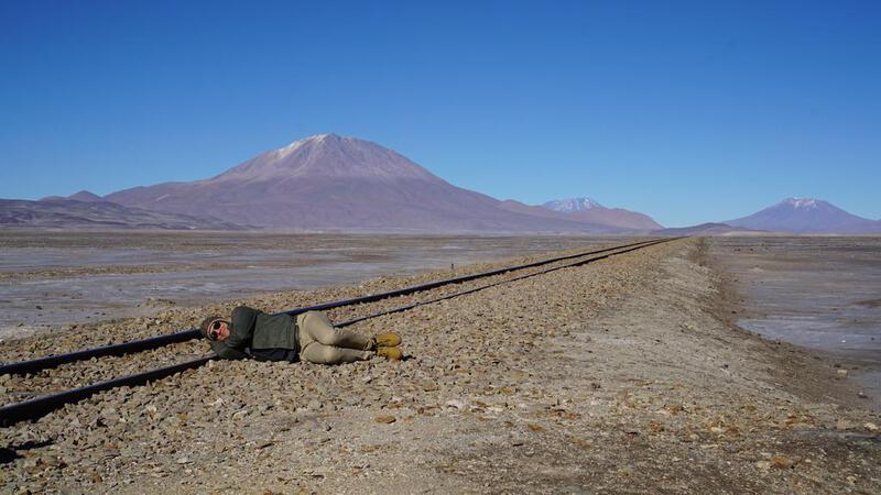
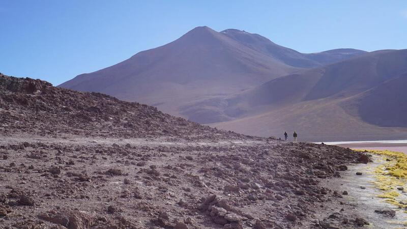
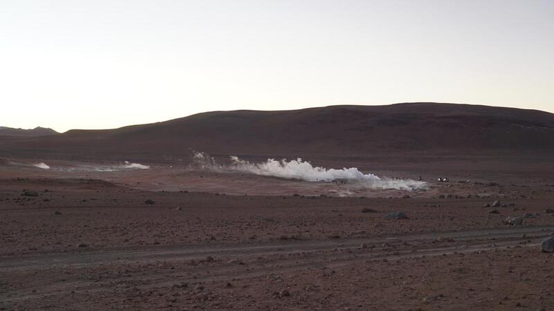
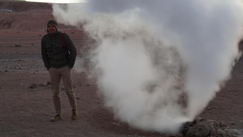
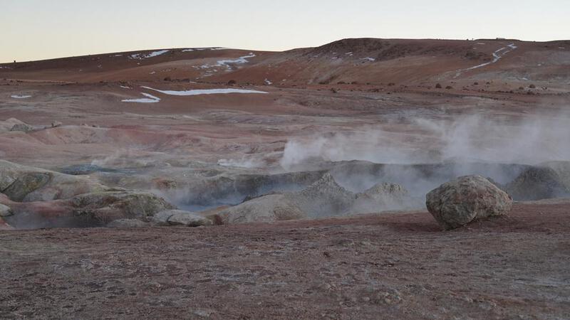
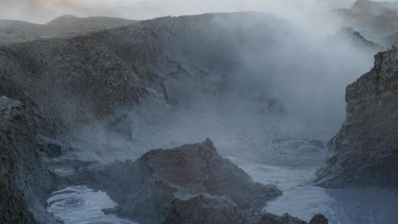
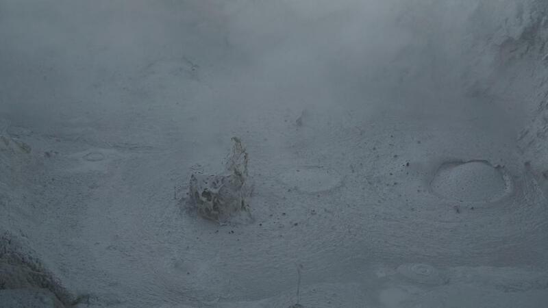
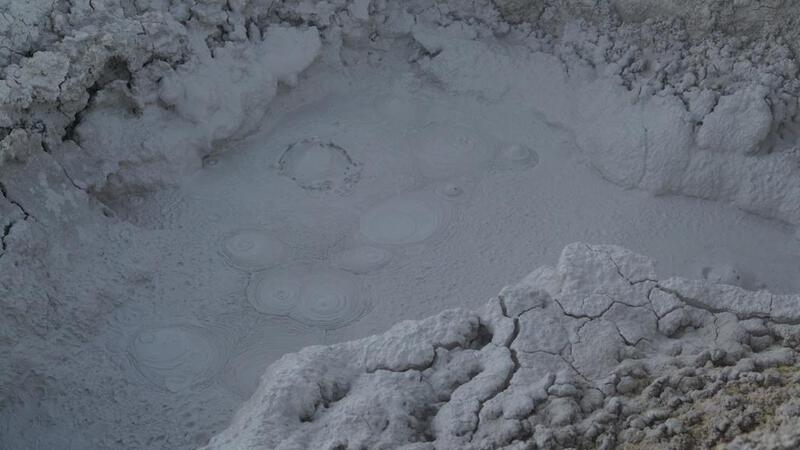
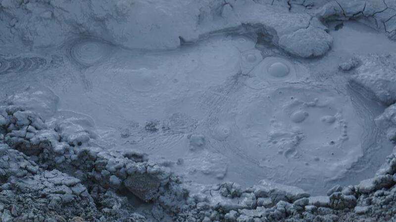
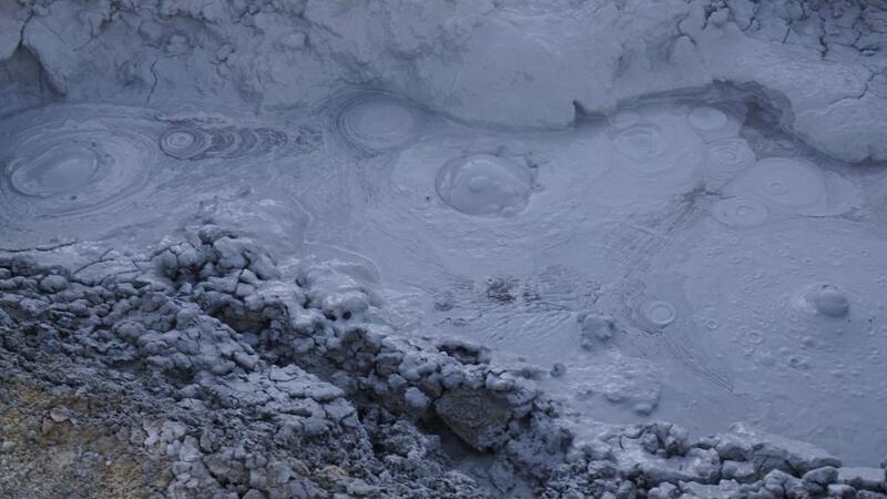
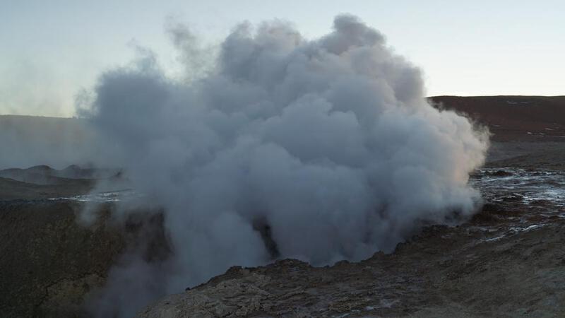
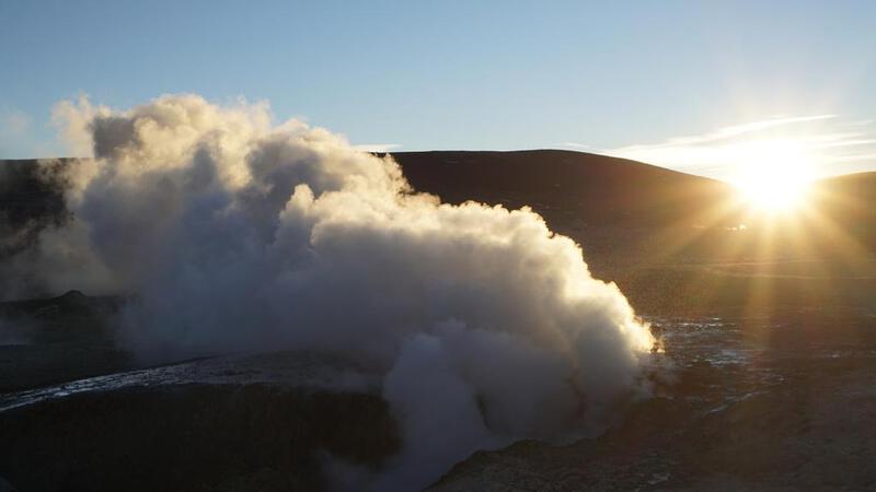
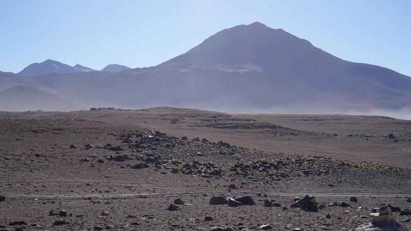
उयुनी नमक झील टूर, तीसरा दिन: गीजरों में सूर्योदय।
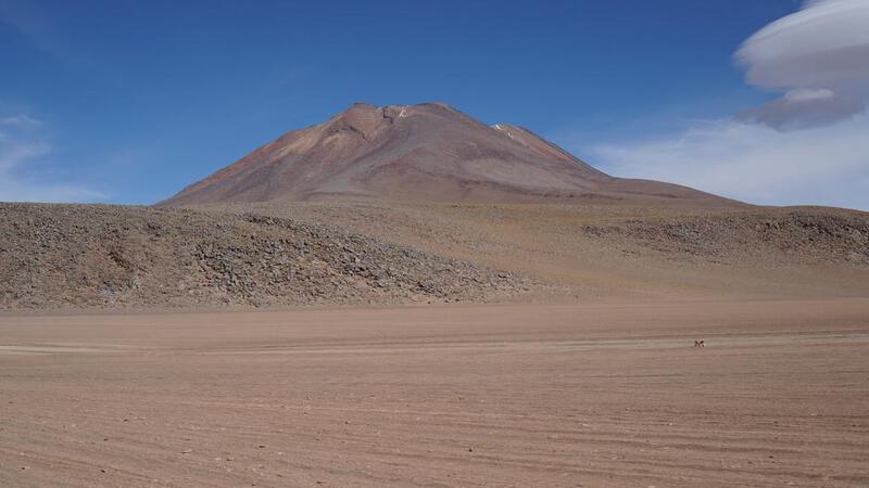
इस बार, 4920 मीटर की अधिकतम ऊंचाई पर स्थित एक झरने में सूर्योदय।
एंडियन पर्वत श्रृंखला का एक दर्रा 5000 मीटर तक पहुँचने वाला है, लेकिन ऐसा नहीं हो पा रहा है। ऐसा लग रहा है कि अंततः मैं 5000 मीटर तक नहीं पहुँच पाऊँगा।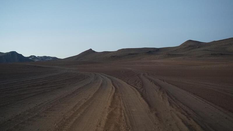


 BGM: कॉपीराइट (सी) म्यूजिक पैलेट
http://www.music-palette.com/
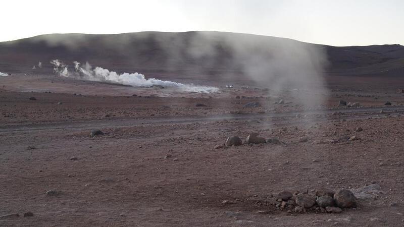
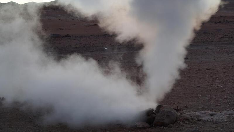
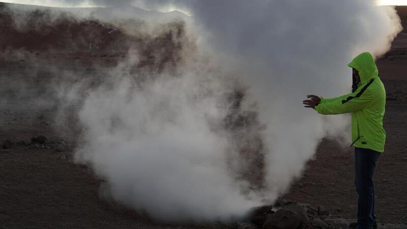
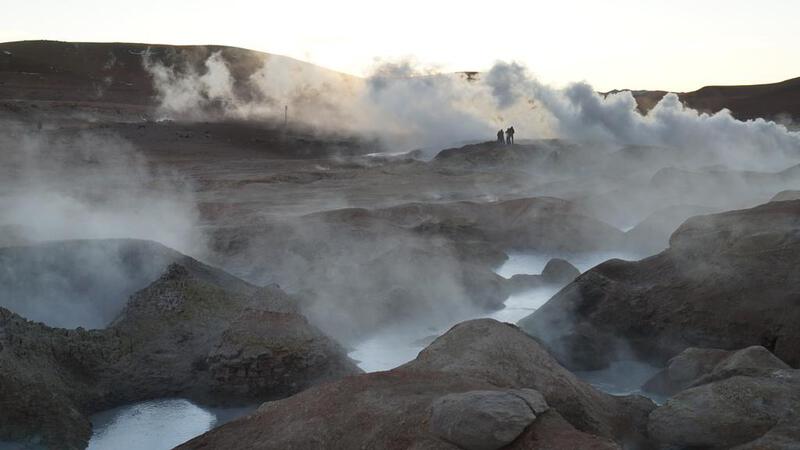
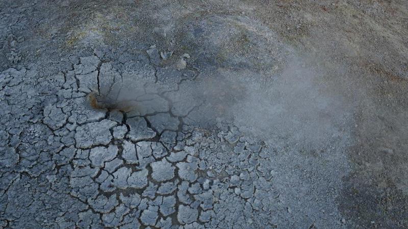
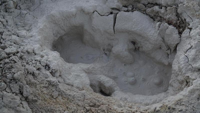
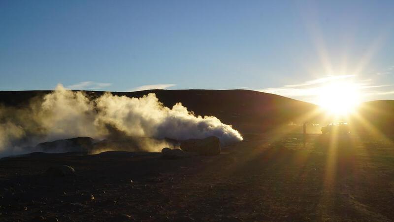
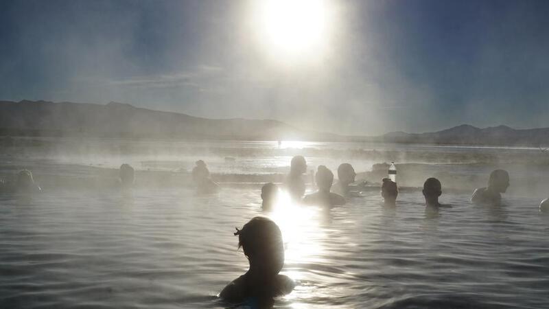
उयुनी नमक झील टूर, तीसरा दिन: गर्म पानी के झरने वाले स्थान पर स्थानांतरण।
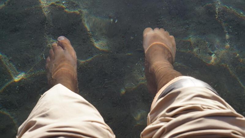
उयुनी नमक झील टूर, तीसरा दिन: गर्म पानी का स्रोत।
4300 मीटर की ऊंचाई पर स्थित एक गर्म पानी के झरने में (केवल पैरों को) डुबोया।
यह थोड़ा गर्म था, लेकिन यूरोपीय और अमेरिकी लोग इसे पसंद कर रहे थे और इसमें नहा रहे थे। शायद सुबह के ठंडे शरीर के लिए इस तापमान में नहाना ठीक हो, लेकिन जापानी लोगों के लिए यह थोड़ा गर्म था, और इसमें नहाने पर ऐसा लग रहा था कि सर्दी हो जाएगी। हवा भी ठंडी है।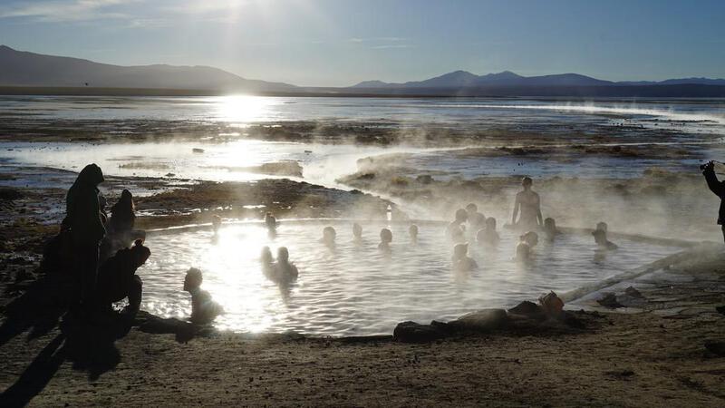

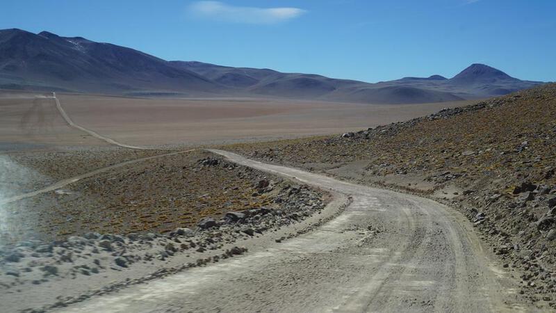
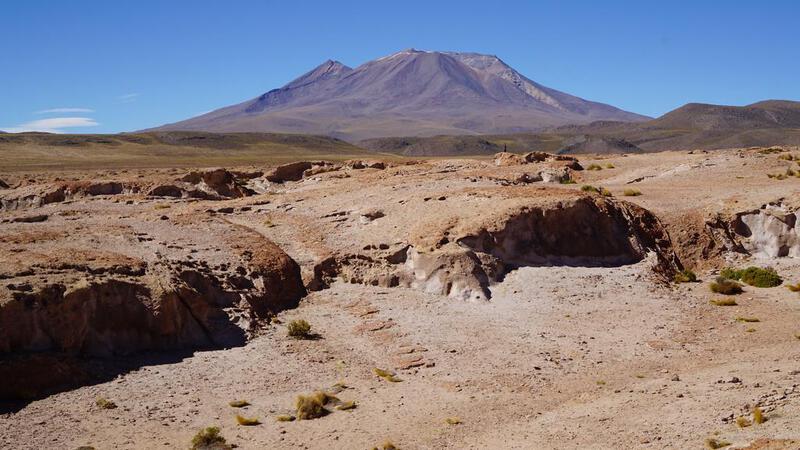
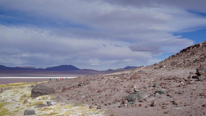
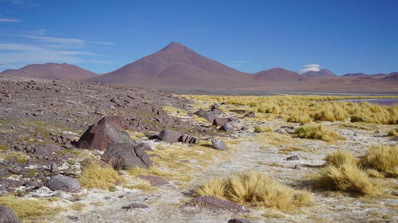
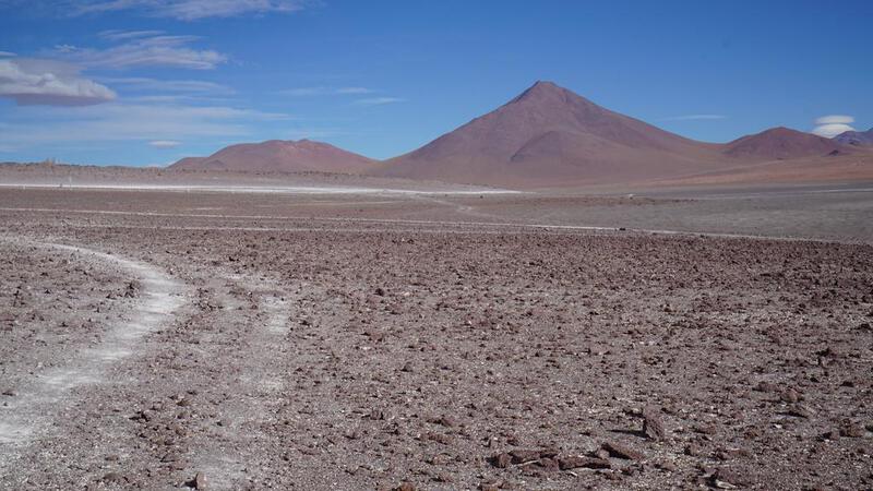
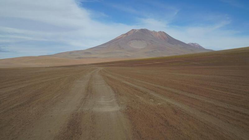
उयुनी नमक झील टूर, तीसरा दिन: रत्नों के रास्ते दक्षिण की ओर।
रत्न पथ की ओर दक्षिण की ओर बढ़ें।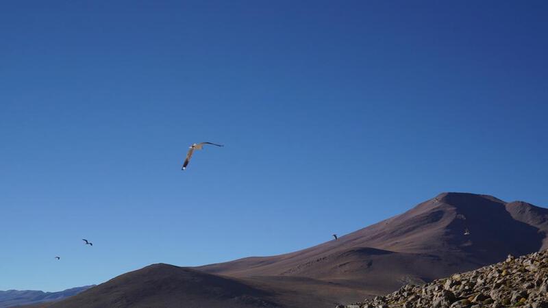


 BGM: कॉपीराइट (सी) म्यूजिक पैलेट
http://www.music-palette.com/
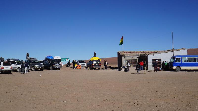
उयुनी नमक झील टूर, तीसरा दिन: बोलीविया की सीमा के पास तक यात्रा।


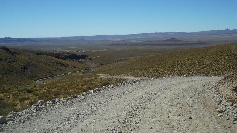
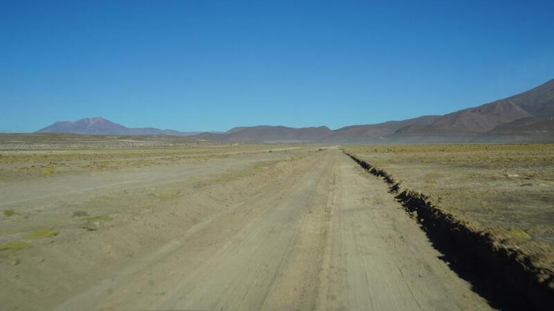
उयुनी नमक झील यात्रा, तीसरा दिन: उयुनी वापस।
और हम उयुनी लौटते हैं।
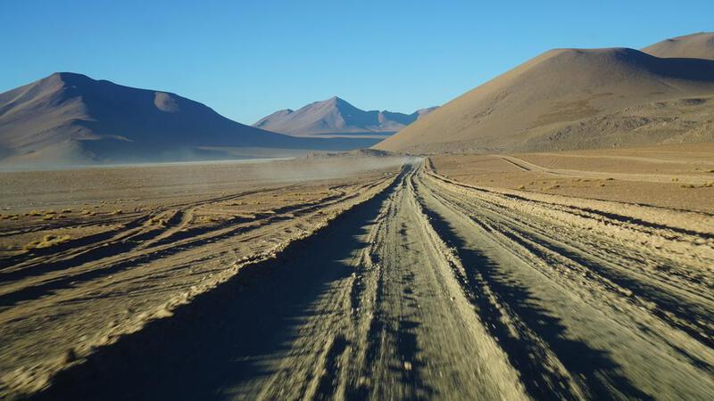
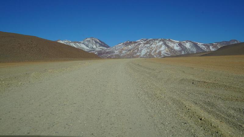
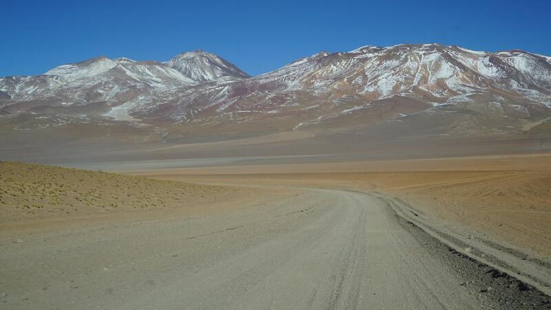
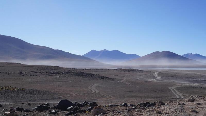
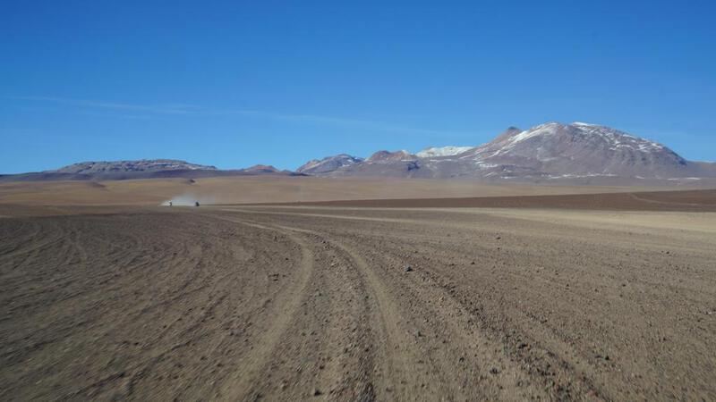
उयुनी से चिली के सैन पेड्रो अटाकामा तक जाने वाला यह मार्ग "रत्न मार्ग" के रूप में प्रसिद्ध है, लेकिन ऐसा लगता है कि इसमें तीन रास्ते हैं। ऐसा लगता था कि किस रास्ते को चुना जाए, इसके आधार पर कठिनाई का स्तर बहुत अलग है।
टूर के मामले में, सबसे पहले चिली की ओर जाने वाले खराब रास्ते से दक्षिण की ओर यात्रा की जाती है। यदि कोई मोटरसाइकिल या साइकिल से इस रास्ते से गुजरने की कोशिश करता है, तो यह बहुत मुश्किल होगा, लेकिन प्रवेश द्वार स्पष्ट नहीं है, और Google Map पर भी यह मुख्य मार्ग के रूप में नहीं दर्शाया गया है, इसलिए शायद सामान्य रूप से आने वाले लोग इस रास्ते को नहीं चुनेंगे।
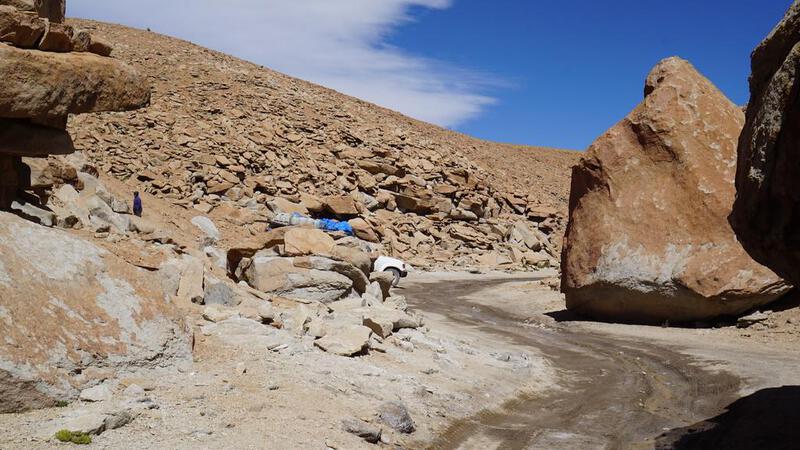
जो लोग दुर्भाग्य से इस रास्ते को चुनते हैं, वे "खराब सड़क, खराब सड़क" कहते हैं, जो कि उचित है। वास्तव में, यह एक बहुत खराब सड़क है। यदि आप एक सामान्य मोटरसाइकिल से यात्रा कर रहे हैं, तो आपको एक बार गिरने के लिए तैयार रहना चाहिए। ऑफ-रोड मोटरसाइकिल के लिए कोई समस्या नहीं होगी।
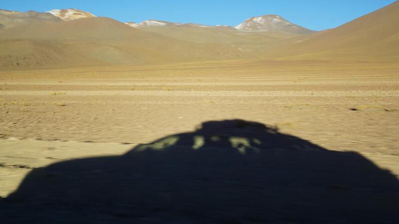
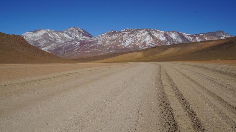
दूसरा रास्ता Google Map पर मोटे तौर पर दिखाया गया है। वास्तव में, टूर में यह रास्ता केवल थोड़ी देर के लिए दक्षिण की ओर जाता है। इसलिए, मेरे पास केवल दक्षिण के बारे में जानकारी है, लेकिन यह इतना बुरा नहीं है। यदि आप इस रास्ते से गुजरते हैं, तो आप सोच सकते हैं कि "यह रास्ता लंबा है, लेकिन यह अफवाह जैसा नहीं है।" ऐसा ही महसूस हुआ। एक सामान्य मोटरसाइकिल से भी धीरे-धीरे यात्रा की जा सकती है।
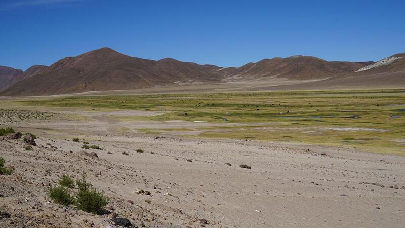
तीसरा रास्ता बोलीविया के आंतरिक क्षेत्र की ओर जाता है। यह नमक कारखानों को जोड़ने वाला रास्ता है, और उत्तरी भाग में, यह रास्ता एक तरफ पहाड़ों के साथ समतल भूमि से गुजरता है, और ऐसा लगता है कि यह सबसे कम कठिन रास्ता है। लगभग आधा रास्ता मैं तेज गति से चला सकता था। ऐसा लग रहा था जैसे कोई बुलडोजर सड़क को समतल कर रहा हो।
टूर में, हम वापसी यात्रा के दौरान इस रास्ते को जल्दी से पार करते हैं।
उयुनी झील से दक्षिण की ओर यात्रा करते समय, अब Google Map उपलब्ध है, लेकिन पहले के समय में, लोग शायद बिना किसी योजना के यात्रा करते थे और ऊपर बताए गए तीन रास्तों में से किसी एक को चुन लेते थे... ऐसा मुझे लगता है।
आजकल, Google Map पर भरोसा करने वाले लोग शायद दूसरे, सबसे मोटे रूप से दिखाए गए रास्ते को चुनते हैं। यह एक ऐसा रास्ता है जो एक बड़ी झील को जोड़ता है, इसलिए यह स्वाभाविक रूप से चुना जा सकता है।
किसी भी स्थिति में, "खराब सड़क, खराब सड़क" के रूप में वर्णित खराब सड़क वास्तव में पहला रास्ता है, जो सबसे अधिक चिली की ओर जाता है। यह निश्चित रूप से एक कठिन रास्ता है। मेरी सामान्य मोटरसाइकिल से यात्रा करना बहुत मुश्किल होगा। यहां तक कि एक लैंड क्रूजर भी लगभग 20 किमी/घंटा की गति से धीरे-धीरे चल रहा था।
हालांकि, दक्षिण की ओर जाने के बाद, यदि आप राष्ट्रीय उद्यान में प्रवेश करते हैं, तो यह एक अपेक्षाकृत सपाट कच्चा रास्ता है, और तीसरा रास्ता भी इतना बुरा नहीं है।
टूर के मामले में, हम कई जगहों पर रुकते हैं, इसलिए शायद मोटरसाइकिल से यात्रा करने की तुलना में, पर्यटन के दृष्टिकोण से संतुष्टि का स्तर अधिक था। मोटरसाइकिल से, हम केवल एक ही रास्ते पर जा सकते हैं, क्योंकि हमारे पास पर्याप्त ईंधन नहीं होता है। यह एक महत्वपूर्ण दूरी है।
यह भी कहा जाता है कि बोलीविया की तुलना में चिली की ओर का रास्ता अधिक खराब है, लेकिन सीमा से चिली के पक्की सड़क तक की दूरी बहुत अधिक नहीं है।